Download
1 / 33
330 likes | 482 Views
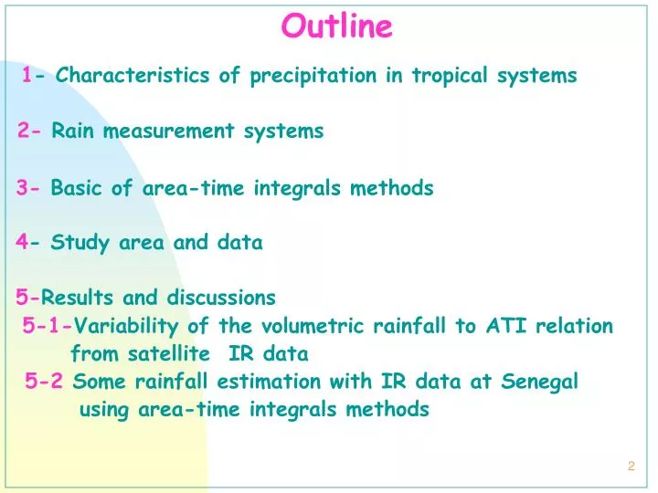
Outline. 1 - Characteristics of precipitation in tropical systems 2- Rain measurement systems 3- Basic of area-time integrals methods 4 - Study area and data 5- Results and discussions 5-1- Variability of the volumetric rainfall to ATI relation from satellite IR data

E N D
Outline 1- Characteristics of precipitation in tropical systems 2- Rain measurement systems 3- Basic of area-time integrals methods 4- Study area and data 5-Results and discussions 5-1-Variability of the volumetric rainfall to ATI relation from satellite IR data 5-2 Some rainfall estimation with IR data at Senegal using area-time integrals methods
Characteristics of precipitation in tropical systems : radar and satellite signatures of Sahelian Squall lines
Squall lines crossing Senegalese coast (July/07/1999) (METEOSAT OBSERVATIONS)
Squall lines crossing the Senegalese coasts (07/07/1999) Radar Observations
Land Sea Squall lines crossing the Senegalese coasts (July /07/1999)
Characteristics of precipitation in tropical systems • high spatial variability : • rainfall fields not homogeneous inside the pixel • spatial resolution is important • high temporal variability : • temporal resolution is important • Influence of local climatic parameter like : - seasonal and coastal effects -Orography
Rain measurement systems - rain gauges Advantages: • “True” measurement of rain Disadvantages: • No coverage over oceans or remote regions • Point measurement not representative of area • Wind underestimates of rain • Different gauge designs
Rain measurement systems - radar Advantages: • Excellent space and time resolution • Observations in real time Disadvantages: • Little coverage over oceans or remote regions • Signal calibration • Corrections required for beam filling, bright band, anomalous propagation, attenuation, etc. • Z-R relationship • Expensive to operate Theses aspects lead to consider the paramount importance of achieving a correct interpretation of satellite data in term of precipitation at the ground
Rain measurement systems - geostationary satellite (VIS/IR) Advantages: • Good space and time resolution • Observations in near real time • Samples oceans and remote regions Disadvantages: • Measures cloud-top properties instead of rain • Spatial and/or temporal resolution may be too coarse • Large data volume ( problem of storage ) Amoung the means proposed to reach the objectives of rainfall estimation by satellite, the thresholds Methods There are attractive because of their simplicity and the quality of the results the yields
Basics concepts of area time-Integrals Methods (thresholds methods) The threshold methods consider the relation between the area occupied by the clouds having a top with an equivalent blackbody brightness temperature (TB) colder than a threshold and the Rain volume (V), or the area-averaged rain rate <R>, inside an observed area of finite size. This approach has notably led to the GOES Precipitation Index (GPI) A similar methodological development has occurred for the Hydrological processing of radar data with the area-time Integral (ATI) methods
- (1) -and the area occupied by the rain having a rate higher than a threshold R, that is, the fractional area, is (2) The combination of (1) and (2) gives the relation <R> = S(R) F(R) (3) with (4) Area time integrals method : Basic concepts and definitions A0 A(R) (R> R) If in an area of observation A0 , we have a field of rain rate, R, represented by P(R) (Probability density of function) of R, the area-averaged conditional (climatic) rain can be written as (4) shows that <R> is linearly linked to the fractional area F(R) by the factor S(R) depending Only on P(R) and on the threshold R
<R1> Ar1 A1(R) <R2> Ar2 A1(R) <Ri> Ari Ai(R) <Rn> Arn An(R) ----- (5) ti tn t1 t1 t2 ti tn (ATI)R V V= S(R) (ATI)R Thus (5) can be written as: Equation (3) can be applied to a snapshot over the area A0 If, at time ti, Ai(R) is the area with R> R, with Ai(R =0)=Ari and <Ri> is the area- averaged rain rate over Ari, the summation over time series gives The left member of (5) represents the rain volume V fallen during the observation time inside the observed area and the summation in the right member represents (ATI)R, the radar observed ATI for the threshold in the same area (6)
The concept of ATI, whose implementation to radar data is rather straightforward, can also be used with satellite data • In this work, the relation between rainfall and cloud-top area, • is written in a form identical to (6), in witch R is replace by • TB,S(R) by G(TB) and (ATI)R by (ATI)TB. We obtain : V= G(TB) (ATI)TB (7)
Area of study The study area considered to study is located at the western end of Sahelian Africa, at the transition from an arid to an equatorial climate, were two strong gradients, land-sea and north-south of the seasonal cumulative rain depth are observed.
Ground true Electronic Raingauges Disdrometer on the roof of The LPAOSF Simple Raingauges
Data set Radar data Band C Satellite Data Meteosat 7 Scanning interval 30 minutes Pixel side 5 km2 MSG Scanning interval 15 minutes Pixel side 3 km2
Results and discussions: Variability of the volumetric rainfall to ATI relation from satellite IR data
Algorithme for the computation of G(TB) Data set of radar corresponding of rainy events Data set of IR meteosat corresponding to the same rainy events Correction, calibration, and colocalisation of Radar and stellite data Matrix of brightness temperature (TB) in the same area ( 1km x 1km) Matrix of rainrate in rectangular coordinate (1km x 1km) Sampling of data in the 4 subdomains (land, sea,north and south, total area) -computation of Ai(R) and Ai(TB) Temporal series of Ai(TB) in 30 min time sampling in the 4 subdomains and in the total area Temporal series of Ai(R) in variabletime steps in 4 subdomains and in the total area Time integration on all snapshot of the rainy event Regression of corresponding pairs [V, (ATI)TB] of all the 23 events of the dataset gathered between (1996-1999) G(TB)= V/(ATI)TB G(TB)
-Plot of the linear coefficient G(TB) versus TB for the 1996-1999 Data set for the four 4 sub-areas. Variability of G(TB) -for TB = 235 K the mean value of G(TB) is 3.02 mm/h, almost exactly that found for the GPI coefficient for the GATE area.
Results and discussions: Some rainfall estimation by IR data in Senegal using area-time integrals methods
Application of the ATI method for rainfall estimation by satellite in the West of Senegal j i - Using data set from Meteosat 7 between 1996 and 1999 -Using the threshold of 235 K corresponding to G(TB) =3 mmh-1 identical to the GPI of Arkin • In the pixel scale, we can estimate the cumulative rainfall using the relation (8) • Where : • S(i,j) is a cumulative value of pixels corresponding to temperature colder than the threshold 235 K during the time period of estimation • t is the time sampling of data set used in hour (1/2 for Meteosat 7 and for MSG) (8) H(i,j) Computation on different time scales: -field of precipitation in annual mean -field of precipitation in monthly mean -temporal series of 5 days cumulative rainfall
1997 1996 1998 cumulative rainfall in annual mean (J A S) Distribution of the rain duration (in days) at Dakar area in annual Mean computing using radar data of Dakar Yoff (1993-1999)
Distribution of cumulative rainfall at Dakar in annual mean ( 1996-1998) - Southwest- northeast orientation of the isohyets as seen in radar and raingauge data
Nianing 1997 et 1998 5 days cumulative rainfall estimation -5 days rainfall estimation in pixels under 3 raingauges in EPSAT-Senegal site : -KAYAR -Nianing - Gandioléme
Kayar 1997 -Good correspondence between the cumulative rainfall obtained from raingauge and satellite -the better result are observed during august when the ITCZ is well located in Senegal -strength occurrence of rain systems associated to precipitable cloud who can explain the good precision in rain area estimation and consequently rainfall accumulation gained with the area time integrals methods. -Meanwhile at the onset and the end of the rainy season, some errors are noted. We can explain this by the low quantity of rain, corresponding to big variance on the rain estimation
Article publish in Journal of Climate KEBE, C.M.F., H.SAUVAGEOT and A. NZEUKOU,2005:The relation between rainfall and area-time integrals at the transition from an arid to an equatorial climate Perspectives Thanks for your attention