Download
1 / 11
110 likes | 239 Views
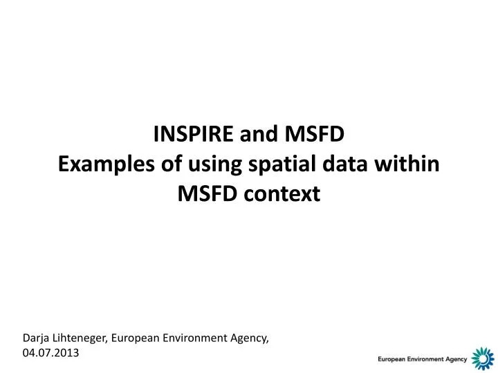
INSPIRE and MSFD Examples of using spatial data within MSFD context. Darja Lihteneger, European Environment Agency, 04.07.2013. Outline. INSPIRE: infrastructure and components INSPIRE: Data provider’s point of view INSPIRE spatial data themes and MSFD

E N D
INSPIRE and MSFDExamples of using spatial data within MSFD context Darja Lihteneger, European Environment Agency, 04.07.2013
Outline • INSPIRE: infrastructure and components • INSPIRE: Data provider’s point of view • INSPIRE spatial data themes and MSFD • Mapping data models: INSPIRE and thematic domains • Examples
INSPIRE = spatial information infrastructure • Built on national spatial data infrastructures • Based on standards • Interoperable • Providing human and machine access and use of spatial data sets and services • Technical rules under INSPIRE: • Metadata • Data sets and interoperability • Services + + Sharing measures Users + INSPIRE monitoring, reporting Country A Governance National SDI Country B National SDI Machine-machine interaction Data / service providers Data / service providers
INSPIRE: Data provider’s point of view Data / service providers INSPIRE Metadata INSPIRE Discovery service to search for data and services Describe data and services with metadata Provide download service Provide view service INSPIRE View service Make spatial data INSPIRE conformant INSPIRE Annex I, II, III data specifications Offer different services INSPIRE Download service INSPIRE transformation service INSPIRE Invoke spatial data services Users
INSPIRE spatial data themes and MSFD Presentation by Cecilia Silvestri, ISPRA at INSPIRE Conference 2013
Mapping data models: INSPIRE and thematic domains Basic principle to extend INSPIRE schema Example: Co-existence between MSFD and INSPIRE MSFD MSFD only Common to MSFD and INSPIRE INSPIRE INSPIRE only MSFD MSFD INSPIRE Options in mapping: MSFD INSPIRE INSPIRE MSFD INSPIRE
Example 2: harmonisation based on INSPIRE MSFD Spatial data set of marine regions Mapped to INSPIRE Area management data spec. 2 different structures ! • What to map? • Names of attributes • Code lists • Data types (text, number, date, …) • Identifiers: structure and value • Relationships (1:M, 1:1, M:N)
Example 3: Combining spatial and tabular (thematic) data Spatial data sets = Eionet water stations (latitude, longitude; point representation) Thematic data = Chlorophyll-a concentrations in 2012 in coastal and transitional waters (Source: WaterBase)
Example 4: re-using data from several data flows • Chlorophyll-a concentrations in 2012 provided at Eionet water stations – coastal and transitional waters (Source: WaterBase; WISE) • Coastal waters (WFD)
Final thoughts • INSPIRE will not deliver spatial data sets, but DATA PROVIDERS WILL! • Don’t wait for perfect infrastructure for spatial information! • Start SHARING and USING spatial data sets and services based on INSPIRE provisions! • COOPERATION IS ONE OF THE KEY ELEMENTS!