Download
1 / 17
170 likes | 309 Views
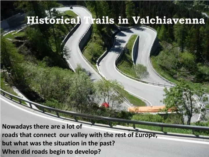
Historical Trails in Valchiavenna. Nowadays there are a lot of roads that connect our valley with the rest of Europe, but what was the situation in the past? When did roads begin to develop?. What remains of the ancient roads which crossed our valley?

E N D
Historical Trails in Valchiavenna Nowadays there are a lot of roads that connect our valley with the rest of Europe, but what was the situation in the past? When did roads begin to develop?
What remains of the ancient roads which crossed our valley? This important area has been a crossroads of transit for long and its territory has had an efficient network of roads since Roman times. The Roman roads connected the different centres of Lombardy in a single circuit of transalpine routes. In addition to these consular and imperial roads, where goods travelled by wagons, minor paths survived, covered by shepherds in their annual trips since prehistoric times.
In the era of telecommunications highways, we think it is necessary to reconstruct the traces of the paths our ancestors used to cover on horseback or on foot.
The ‘’Via Spluga’’ The historical trail covers a distance of 65 km from Thusis to Chiavenna climbing 1723 m. It is a mountain path and its Alpine environment, which hasn't changed much, is still retaining traces of the ancient routes.
Along the way you can find a lot of historical, civil and religious buildings. The most important are the Sanctuary of Gallivaggio and the Cardinello Inn in Isola. Travellers had to walk because of steep slopes. It sounds unbelievable now but it was easier to cross the path in winter, because people could use sledges on the snow
Cardinello Inn Sanctuary of Gallivaggio
The ‘’Via Francisca’’ The road, at the end of the “Via Regina”, entered Valchiavenna from the south. It went beyond Monte Francesca, then it continued towards Samolaco, a village once located at the top of a lake, which disappeared swallowed by landslides and flooding of the river Mera. The trail runs along the western side of the plain of Chiavenna for more than 17 km.
It is mostly flat and mainly follows mule tracks. It crossed different landscapes: from wild areas to farmland, from chestnut woods to vineyards. Today this stretch of road is well preserved and offers an amazing view of Lake Mezzola and of the valley below
The ‘’Via Bregaglia’’ The historical route runs through the Italian Val Bregaglia, from the Castasegna border to Chiavenna. It covers a distance of 10.8 km with a vertical drop of 355m. It is a road full of historical, artistic and natural attractions.
Along the way you can admire the so called “Acqua Fragia” waterfalls and the “Marmitte dei giganti” which are nature reserves
The ‘’Via Forcola’’ It was a connection between Chiavenna and Mesolcina Valley, two communities that had trade relations for centuries. Its greatest importance was in the XVII century, after the conflicts between the Republic of Venice and the Duchy of Milan. Transits were controlled from Signame and Peverello towers.
The ‘’Via Baldiscio’’ It was important as a link between the Spluga and the Mesolcina Valleys. On Baldiscio Pass Napoleon set the border between Italy and the Grisons in 1797 .
The ‘’Via di Val di Lei’’ It connected Chiavenna area with the northern side of the Alps. Trades took place especially in winter when there was the possibility of carrying goods using sledges. In Roman times this road belonged to the town of Piuro.
The ‘’Via di Niemet’’ It is a Roman itinerary that became important from 1226 for connecting Chiavenna to Madesimo. The road went up the so called Valle delle scale, went down the valley of Madesimo and Emet and descended the valley of Niemet. The old route is no more visible.
Benedetta Ratti, Erica Capelli, Lavinia Guanella, Sofia Daidone