Download
1 / 48
480 likes | 486 Views
A primer on disaster risk reduction in Mexico, covering topics such as natural hazards, risk assessment, policy options, and the impact of hurricanes. Learn how to reduce disaster risk and develop policies with high benefit/cost for the community.

E N D
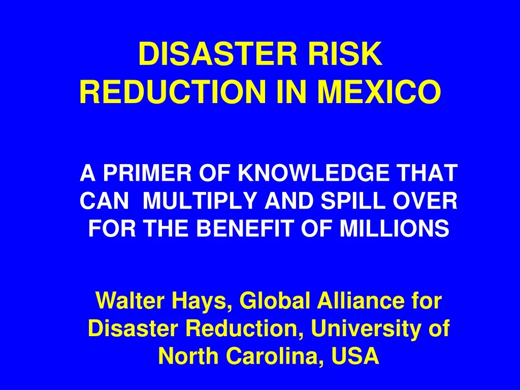
DISASTER RISK REDUCTION IN MEXICO A PRIMER OF KNOWLEDGE THAT CAN MULTIPLY AND SPILL OVER FOR THE BENEFIT OF MILLIONS Walter Hays, Global Alliance for Disaster Reduction, University of North Carolina, USA
NATURAL HAZARDS • BLDG. INVENTORY • VULNERABILITY • LOCATION • EDUCATIONAL SURGE • PREVENTION/MITIGATION • PREPAREDNESS • EMERGENCY RESPONSE • RECOVERY and • RECONSTRUCTION RISK ASSESSMENT POLICY OPTIONS ACCEPTABLE RISK RISK UNACCEPTABLE RISK GOAL: DISASTER RISK REDUCTION MEXICO’S COMMUNITIES DATA BASES AND INFORMATION HAZARDS: GROUND SHAKING GROUND FAILURE SURFACE FAULTING TECTONIC DEFORMATION TSUNAMI RUN UP AFTERSHOCKS
NATURAL HAZARDS THAT PLACE MEXICO’S COMMUNITIES AT RISK HURRICANES GOAL: REDUCE DISASTER RISK NOW EARTHQUAKES TSUNAMIS DEVELOP POLICIES FOR ACTIONS HAVING HIGH BENEFIT/COST FOR THE COMMUNITY FLOODS VOLCANIC ERUPTIONS LANDSLIDES
RISK ASSESSMENT • VULNERABILITY • EXPOSURE • EVENT • COST • BENEFIT NSTURAL HAZARDS EXPECTED LOSS POLICY ADOPTION • CONSEQUENCES POLICY ASSESSMENT TOWARDS DISASTER RISK REDUCTION
HURRICANES MEXICO IS AT RISK FROM HURRICANES FORMING IN THE ATLANTIC, CARIBBEAN, AND GULF OF MEXICO AS WELL AS IN THE EASTERN PACIFIC
CAUSES OF DAMAGE WIND PENETRATING BUILDING ENVELOPE UPLIFT OF ROOF SYSTEM FLYING DEBRIS STORM SURGE HURRICANES IRREGULARITIES IN ELEVATION AND PLAN “DISASTER LABORATORIES” SITING PROBLEMS FLOODING AND LANDSLIDES
HURRICANE DEANTHE FIRST NORTH ATLANTIC HURRICANE OF 2007 CAUSED DEVASTATION FROM CARIBBEAN ISLANDS TO MEXICO A CATEGORY 2-3 STORM ON 17 AUGUST 2007 A CATEGORY 4 STORM ON 18 AUGUST 2007 A CATEGORY 5 STORM ON 20 AUGUST
COORDINATED PLANNING BY USA, MEXICO, AND CANADA • President Bush met with the leaders of Mexico and Canada on Monday, August 20th to continue coordinated planning of mutual assistance before the arrival of Hurricane Dean.
ADVANCE PREPARTIONS IN THE GULF OF MEXICO • The Gulf has 4,000 multi-million dollar oil and gas platforms and facilities that are at risk from hurricane Dean’s strong winds and high waves. • Hurricanes in 2004 and 2005 flooded oil refineries, toppled oil rigs, and cut pipelines.
ADVANCE PREPARTIONS OF FACILITIES AT RISK IN THE GULF • Pemex, Mexico’s oil company, began evacuating 13,500 workers from its oil rigs in the Gulf of Mexico on Monday, August 20. • Petroleos Mexicanos evacuated all 18,000 offshore workers and shut down production rigs on the Bay of Campeche. • This action resulted in a loss of revenue from daily production of 2.7 million barrels of oil and 2.6 billion cubic feet of natural gas
HURRICANE DEAN AT LANDFALL: AUGUST 21 • Hurricane Dean made landfall at Majahual, Mexico as a category 5 storm with winds of 165 mi/hr. • Just before landfall, Dean had a minimum central pressure of 906 millibars, the third lowest pressure after the 1935 Labor Day Hurricane in the Florida Keys and Hurricane Gilbert in 1988.
HURRICANE DEAN’S LANDFALL: AUGUST 21 • Hurricane Dean’s landfall at Majahual, a port popular with cruise liners, was “good luck” for the people of Mexico. • This location was a sparsely populated coastline that had already been evacuated, so none of the major resorts took a direct hit. • After a few hours, it became a category 2 storm.
MAYANS AT RISK: AUGUST 21 • Hurricane Dean threatened the Yucatan’s most vulnerable people — the Mayans, who have not benefited from tourism or oil production. • They are poor, living simple lives, in wooden slat houses susceptible to wind damage that are located in low-lying areas prone to flooding.
IMPACTS IN MAJAHUAL • Hundreds of homes collapsed in Mexico’s second busiest cruise ship destination. • Steel girders collapsed and wooden structures splintered from the force of the wind. • About one-half the concrete dock washed away in the storm surge.
THE SECOND LANDFALL IN MEXICO: AUGUST 22 • Hurricane Dean crossed the Bay of Campeche and made a second landfall as a category 2 storm on Wednesday, August 22. • Landfall was at Tecolutla, a fishing town in the state of Veracruz on the Central Mexican coast, about 660 km (400 mi) from the border with Texas.
STORM SURGE AND HEAVY RAINFALL: AUGUST 22 • Hurricane Dean’s storm surge flooded Ciuidad del Carmen, a town of 120,000, with waist deep sea water. • Heavy rain fall accompanying Dean, now a category 1 storm, caused rivers to rise rapidly in a region that experienced flooding and landslides in 1999.
MAYAN COMMUNITIES SEVERELY IMPACTED • Mexico’s Mayan communities have survived many damaging storms and centuries of oppression, but surviving Hurricane Dean’s impacts on their livelihood may be their greatest challenge ever. • The greatest impact was NOT the thousands of destroyed Mayan homes, but the downed fruit-bearing trees and the destroyed corn crops.
EARTHQUAKES EARTHQUAKES LIKE THE SEPTEMBER 19, 1985 QUAKE OCCUR MAINLY AS A RESULT OF INTERACTIONS OF THE COCOS AND NORTH AMERICAN PLATES
CAUSES OF DAMAGE INADEQUATE RESISTANCE TO HORIZONTAL GROUND SHAKING SOIL AMPLIFICATION PERMANENT DISPLACEMENT (SURFACE FAULTING & GROUND FAILURE) IRREGULARITIES IN ELEVATION AND PLAN EARTHQUAKES TSUNAMI WAVE RUNUP “DISASTER LABORATORIES” POOR DETAILING AND WEAK CONSTRUCTION MATERIALS FRAGILITY OF NON-STRUCTURAL ELEMENTS
TSUNAMIS LARGE SUBDUCTION ZONE EARTHQUAKES CAN GENERATE TSUNAMIS
TSUNAMI HAZARD • TSUNAMIS ARE LONG-PERIOD WATER WAVES CAUSED BY THE VERTICAL UPLIFT OF THE OCEAN FLOOR DURING A M7.0 OR GREATER EARTHQUAKE.
CAUSES OF DAMAGE HIGH VELOCITY IMPACT OF INCOMING WAVES INLAND DISTANCE OF WAVE RUNUP VERTICAL HEIGHT OF WAVE RUNUP INADEQUATE RESISTANCE OF BUILDINGS TSUNAMIS FLOODING “DISASTER LABORATORIES” INADEQUATE HORIZONTAL AND VERTICAL EVACUATION PROXIMITY TO SOURCE OF TSUNAMI
FLOODS FLOODS ARE TYPICALLY ASSOCIATED WITH STRONG THUNDERSTORMS OR HURRICANES
CAUSES OF RISK LOSS OF FUNCTION OF STRUCTURES IN FLOODPLAIN INUNDATION INTERACTION WITH HAZARDOUS MATERIALS STRUCTURE & CONTENTS: DAMAGE FROM WATER FLOODS WATER BORNE DISEASES (HEALTH PROBLEMS) DISASTER LABORATORIES EROSION AND MUDFLOWS CONTAMINATION OF GROUND WATER
VOLCANIC ERUPTIONS EXPLOSIVE VOLCANIC ERUPTIONS ARE ASSOCIATED WITH SUBDUCTION ZONES.
CAUSES OF RISK LATERAL BLAST PYROCLASTIC FLOWS FLYING DEBRIS VOLCANIC ASH VOLCANIC ERUPTIONS LAVA FLOWS CASE HISTORIES LAHARS TOXIC GASES
LANDSLIDES LARGE VOLUME LANDSLIDES ARE TYPICALLY ASSOCIATED WITH EARTHQUAKE GROUND SHAKING AND HURRICANES
CAUSES OF DAMAGE SITING AND BUILDING ON UNSTABLE SLOPES SOIL AND ROCK SUCEPTIBLE TO FALLS SOIL AND ROCK SUCEPTIBLE TO TOPPLES SOIL AND ROCK SUCEPTIBLE TO SPREADS LANDSLIDES SOIL AND ROCK SUSCEPTIBLE TO FLOWS CASE HISTORIES PRECIPITATION THAT TRIGGERS SLOPE FAILURE SHAKING GROUND SHAKING THAT TRIGGERS SLOPE FAILURE