Download
1 / 28
280 likes | 284 Views
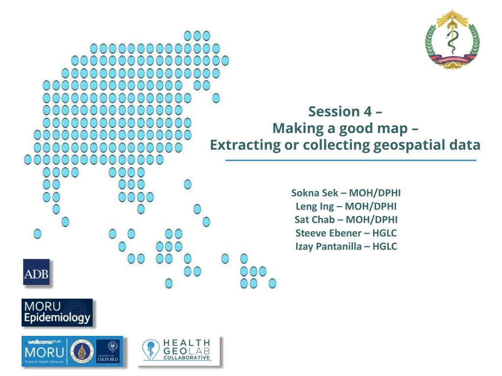
Session 4 – Making a good map – Extracting or collecting geospatial data. Sokna Sek – MOH/DPHI Leng Ing – MOH/DPHI Sat Chab – MOH/DPHI Steeve Ebener – HGLC Izay Pantanilla – HGLC. Extracting or collecting geographic data. How do you create geographic data?.

E N D
Session 4 – Making a good map – Extracting or collecting geospatial data Sokna Sek – MOH/DPHI Leng Ing – MOH/DPHI Sat Chab – MOH/DPHI Steeve Ebener – HGLC Izay Pantanilla – HGLC
Extracting or collecting geographic data How do you create geographic data? • When it comes to the geographic objects: • By using remote sensors placed on a satellite or in a plane (remote sensing) • By processing the images resulting from remote sensing (image processing) • By extracting the geographic coordinates of point type object or the topology of line/polygon objects from 1 or 2 (digitizing) • By collecting the geographic coordinates of places in the field using a GNSS enabled device (Surveying) The method you will most likely be using
Extracting or collecting geographic data How do you create geographic data? • When it comes to the geographic objects it is important to remember to comply to the defined dataset specification: • Scale of work • Accuracy and resolution for raster format geospatial data • Accuracy and precision level for vector format geospatial data
Extracting or collecting geographic data How do you create geographic data? • When it comes to attributes (statistics, information) • By attaching the attribute to its corresponding object, preferably through the use of its unique ID coming from the master list master list Stats/Info District ID Geocoding: A GIS operation for converting street addresses into spatial data that can be displayed as features on a map, usually by referencing address information from a street segment data layer. (Esri GIS dictionary)
Extracting or collecting geographic data Extracting or collecting geographic data How do you create geographic data? • When it comes to attributes (statistics, information) • It is therefore key that any field survey aiming at collecting health related data contains the necessary fields to link with the corresponding master list and its unique IDs! • Exercise 1
Extracting or collecting geographic data Global Navigation Satellite Systems (GNSSs) Definitions • Global Navigation Satellite System (GNSS): Satellite navigation systems that provide autonomous geo-spatial positioning with global coverage. This include the GPS, GLONASS, Galileo, BeiDou, and other systems. • Geo-spatial positioning: The ability to locate yourself or an object on the surface of the earth. Generally using geographic coordinates expressed in terms of latitude and longitude
Extracting or collecting geographic data GNSSs – GPS vs GLONASS vs BEiDou vs Galileo All these systems allows to precisely identify locations on Earth
- Identifier • Almanac Data • (status & orbital info to • calculate which satellites • are visible) • Ephemeris Data • (precise orbital info to • calculate satellite location) Extracting or collecting geographic data GNSSs – How does it work?
? ? ? ? ? ? ? Extracting or collecting geographic data GNSSs – How does it work?
? ? ? ? ? ? ? ? Extracting or collecting geographic data GNSSs – How does it work?
Extracting or collecting geographic data GNSSs – How does it work? Reason why you need at least 3 satellites signal to get a good reading (4 recommended)
Extracting or collecting geographic data GNSSs – Source of signal errors Poor PDOP Good PDOP PDOP: Positional Dilution of Precision
Accuracy: 69 m Accuracy: 46 m Accuracy: 44 m Accuracy: 19 m Accuracy: 14 m Accuracy: 12 m Accuracy: 12 m Accuracy: 7 m Extracting or collecting geographic data GNSSs – Source of signal errors Better to have a good dispersion and looking at the accuracy measure given by the device
Extracting or collecting geographic data GNSSs – Source of signal errors
2 2 1 1 Extracting or collecting geographic data GNSSs – Source of signal errors Signal Multipath Take the reading in the most open space possible
Extracting or collecting geographic data GNSSs – Which device to use Large choice / differentprices! Minimum requirements: • 1. Allows to be set up as follow: • a. Position format: hddd.ddddd • b. Map datum: WGS84 • c. Map Spheroid WGS84 • d. Distance and speed: Metric • 2. Provide a reading with at least 5 digits to reach a level of precision down to the meter • 3. Display the following information: • a. Number of received satellite signals • b. Accuracy measure • 4. Havingaccess to both the GPS and GLONASS constellations is a plus
Extracting or collecting geographic data GNSSs – Why latitude/longitude (Decimal degrees)? • Most comprehensive and powerful method of georeferencing • Standard, stable, unique, infinitely fine resolution • Uses a well-defined and fixed reference frame • Based on Greenwich (Prime) Meridian and Equator
Extracting or collecting geographic data GNSSs – Scale, accuracy and precision 15 m Recommended
Extracting or collecting geographic data GNSSs – Unit setting Match the data specifications Taking a reading Coordinates GPS and GLONASS on Position of the satellites Accuracy value Number of received satellite signals
Extracting or collecting geographic data GNSSs – Different data collection methods Without GNSS enabled devices Uses GNSS enabled devices https://www.healthgeolab.net/DOCUMENTS/Guide_HGLC_Part2_4_2.pdf
Extracting or collecting geographic data GNSSs – The importance of having a protocol/SOP • Description of the device • How to use the device (buttons, batteries,…) • How to set it up • Step by step process to collect the reading TRAINING
Extracting or collecting geographic data GNSSs – Checking during data collection The better the data collection process is the less data cleaning/validating is needed Importance of defining and applying standards and protocols Checking for horizontal accuracy Collect information once - Use it many times !!!
Extracting or collecting geographic data GNSSs – Checking during data collection Use of Google drive and Google Map if internet connection is available
Extracting or collecting geographic data GNSSs – Cleaning after data collection • Check and clean • Data collection date • Infrastructure name and code • Administrative division name spelling and code • Geographic coordinates Painfull process!! Better to directly collect the data properly
Global Navigation Satellite Systems (GNSSs) GNSSs – When you are done with the device • On site, between data collection points • For longer period of time Remove the batteries from the device Store the device in A dry place
Global Navigation Satellite Systems (GNSSs) GNSSs – Summary • Choose the appropriate device/method • Set the unit as per the data specifications • Use a pre-established protocol/SOP • Signal lost indoors and reflected off buildings and other near by objects => choose an open space • Takes time to calibrate and get accurate reading – wait 1 minute to finalise coordinates • Minimum 4 satellites • Collect coordinates with 5 digits after the decimal point • Ethics of mapping households and GPS tracking
Global Navigation Satellite Systems (GNSSs) GNSSs – Android device and GPS Essentials • GPS Essentials is a free application available for Android-based devices with a built-in GNSS receiver. • It can be used as an alternative to dedicated GPS devices when collecting geographic coordinates as it complies with the specifications discussed in the previous slides.
Global Navigation Satellite Systems (GNSSs) GNSSs – Android device and GPS Essentials Separate document • Installation guide for GPS Essentials • SOP to follow and data collection form to use when collecting geographic coordinates using an android phone and GPS Essentials First exercise of this training Exercise 1