Download
1 / 7
590 likes | 1.83k Views
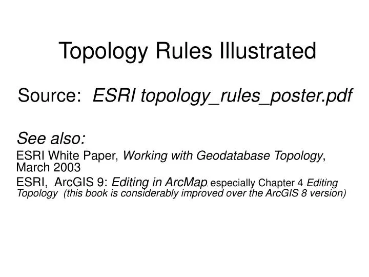
Topology Rules Illustrated. Source: ESRI topology_rules_poster.pdf See also: ESRI White Paper, Working with Geodatabase Topology , March 2003 ESRI, ArcGIS 9: Editing in ArcMap , especially Chapter 4 Editing Topology (this book is considerably improved over the ArcGIS 8 version).

E N D
Topology Rules Illustrated Source: ESRI topology_rules_poster.pdf See also: ESRI White Paper, Working with Geodatabase Topology, March 2003 ESRI, ArcGIS 9: Editing in ArcMap, especially Chapter 4 Editing Topology (this book is considerably improved over the ArcGIS 8 version)
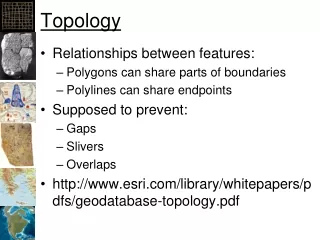
Within one line feature class 1 2 3 4 6 5 8 7
Between two line feature classes 9 10 Between a line and a point feature class Between a line and a polygon feature class 11 12 Between a point and a line feature class 13 14
Between two polygon feature classes 17 18 19 20 21
Between a polygon and a point feature class Between a polygon and a line feature class 22 23 Between a point and a polygon feature class 24 25 All lines and polygons 26 Note: numbers are mine, not ESRI’s!
Example of Use of Topology Rule Example of errors generated from the Polygons must not overlap with (#19) rule. Building footprints (in blue) must not overlap easements (in magenta). The violation areas are shown in yellow . The table shows the error report. User must make the decision whether these are: --accuracy issues with one or other layer (more likely the footprint layer) --thus fix through editing. --or violations where buildings have been built in easements --thus mark as “exceptions’ Source: ESRI Working with Geodatabase Topology p.9