Download
1 / 26
260 likes | 367 Views
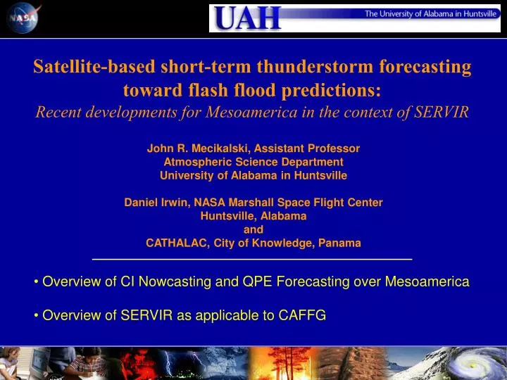
Satellite-based short-term thunderstorm forecasting toward flash flood predictions: Recent developments for Mesoamerica in the context of SERVIR. John R. Mecikalski, Assistant Professor Atmospheric Science Department University of Alabama in Huntsville

E N D
Satellite-based short-term thunderstorm forecasting toward flash flood predictions: Recent developments for Mesoamerica in the context of SERVIR John R. Mecikalski, Assistant Professor Atmospheric Science Department University of Alabama in Huntsville Daniel Irwin, NASA Marshall Space Flight Center Huntsville, Alabama and CATHALAC, City of Knowledge, Panama • Overview of CI Nowcasting and QPE Forecasting over Mesoamerica • Overview of SERVIR as applicable to CAFFG
SERVIR: An Environmental Monitoring and Decision Support System for Mesoamerica
SERVIR Concept Drawing - 2003 • Fire Detection • Land Cover/Land Use • Forest Monitoring • Red Tides • Climate Change • Short Term Weather • Drought Monitoring • Inter. Scientific Research • Carbon Flux • Hot Spot Monitoring • Disaster Mitigation • Urban Studies
SST SPORT NASA/MSFC TEST BED SERVIR NODE Other CATHALAC OPERATIONAL SERVIR NODE
Project 1: NASA/REASoN • Funding • NASA – REASON/CAN (5 Years) • Objective: To Develop a Regional Monitoring and Visualization System for Decision Support for Mesoamerica for Environmental Management and Disaster Support • Project 2: NASA/USAID (3 Years) • PASA with USAID – Started in October 2003 • Funding • USAID • Objective 1: In-Country regional Hub, centralized repository with decentralized control, country nodes, massive archive and distribution system (MesoStor) • Objective 2: Land Cover Classification/Change to assist with National Inventories/National Communications • Objective 3: Climate Change Modeling and Scenarios
SERVIR Web Page http://servir.nsstc.nasa.gov • Fully Operational by February 1, 2005 • Four Main Sections • Mesoamerican Data • Online Maps • Decision Support • Visualizations
2. Online Maps • GeoIntegrator • Web Map Server (WMS) at regional node • WMS at national nodes • Free service to host data
3. Decision Support • Fires • MODIS Rapid Response • Web Fire Mapper (UMD) • Red Tides (Harmful Algal Blooms) • Climate Change Scenarios • Short Term Weather Prediction (SPORT) • Land Cover and Land Use Change for Carbon Inventories • Floods • Other
Climate Change Scenarios OBJECTIVE The key task is to evaluate the relative roles on climate change for Central America of effects such as global warming due to greenhouse gas emissions and continuing land use changes. Oak Ridge National Laboratory Supercomputer 2005 2010 2020 2025
Climate Change Scenarios-Results Over the next 20 years, we see warming and drying in both the dry and wet seasons, but the impact is much greater in the wet season for both temperature and rainfall. Results suggest that human activities in this region could help trigger, prolong, or exacerbate drought. For Central America, the climate effects due to deforestation are potentially MUCH larger than those due to greenhouse-gas induced climate change. Complete deforestation leads to a significant warming of up to 4-6 deg C, and a large drop in precipitation of up to 30%.
Experimental Products – Cloud Climatology 1997-Present (hourly) from GOES at 4 km
Visualization Tools for Decision Support • NASA and COTS • NASA World Wind • Google Earth • Skyline • Space Time Toolkit • Users • Decision Makers • Media • Educators • Students
Training Center in Panama Training Facilities
User Feedback & Potential for GAFFG • “We hope that SERVIR will continue for the long term, and for the foreseeable future, it will be a basis for much of our work in the conservation of Guatemala.” Director of Guatemala Park Service • “I sincerely believe that this project is providing a substantial contribution to not only our work in Guatemala but all throughout Mesoamerica.” Wildlife Conservation Society, Guatemala • “The partnership has been very fruitful for all concerned. I would rate as ‘excellent’ our experience in working with NASA.” World Bank Senior Biodiversity Expert Integration of CAFFG Product into SERVIR & visa versa
Involved Institutions Socios de SERVIR • Private Sector • Cable & Wireless Panama • EGE Fortuna S.A • City of Knowledge • Tierras Altas S.A. • Collaborators • University of South Florida • The Nature Conservancy • University of South Florida • USGS/EROS • InBio • Smithsonian • Others Participants • University of Alabama Huntsville • University of Arkansas • Science Systems and Applications Inc. • Oak Ridge National Laboratory • Institute for the Application of Geospatial Technologies (IAGT) • Universities Space Research Association