Download
1 / 6
0 likes | 13 Views
Today, let's dive deep into the fascinating world of bathymetric surveys and explore the game-changing advantages of Unmanned Survey Vessels (USVs). Brace yourself for a journey through the depths as we unravel the wonders of marine exploration! <br>https://www.uniquegroup.com/product-category/unmanned-survey-vessels/<br>

E N D
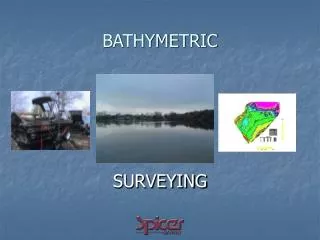
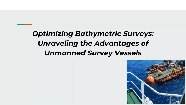
Optimizing Bathymetric Surveys: Unraveling the Advantages of Unmanned Survey Vessels
INTRODUCTION Today, let's dive deep into the fascinating world of bathymetric surveys and explore the game-changing advantages of Unmanned Survey Vessels (USVs). Brace yourself for a journey through the depths as we unravel the wonders of marine exploration!
Unleashing the Power of Marine USVs Imagine a fleet of autonomous survey vessels gracefully navigating the water, unlocking the mysteries of the underwater world without the need for human supervision.unmanned survey vessels manufacturersare welcoming an era of marine USVs, offering a cost-effective alternative to traditional manned vessels and revolutionising bathymetric survey operations. Affordable Exploration Anywhere, Anytime These USVs, exemplified by the impressive Apache Series, bring affordability to the forefront. Their automated prowess enables bathymetric surveys to be conducted seamlessly, expanding the scope of underwater tasks while minimising the reliance on human oversight. What's more, their portability makes them the perfect choice for venturing into remote and challenging locations that were once difficult to access.
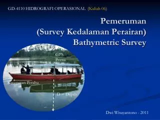
The Apache Series: Setting Sail into the Future Meet the stars of the show: the Apache 3, 4, and 6 USVs. These high-tech vessels integrate unmanned navigation and topographic surveying technology, creating a stand-alone hydrographic solution. The autonomous hull sails independently, conquering tasks ranging from bathymetric surveying to channel surveys and geological exploration. Precision at its Finest The Apache Series made by autonomous survey vessels manufacturers doesn't just sail; it navigates with precision. Equipped with a single beam (multibeam) sounder, these vessels delve into the depths, calculating seabed levels with unparalleled accuracy. But here's the magic: the integration of GNSS Real Time Kinematics (RTK) elevates positional accuracy to new heights, reducing nominal GNSS inaccuracies from several metres to a mere 2-3 centimetres.
User Applications: Beyond the Surface Wondering how these USVs find their applications? Think hydrographic, bathymetric, and hydrological surveys of lakes, rivers, and coastal areas. From underwater object positioning and offshore construction to underwater archaeology and wrecked rescue missions, the Apache Series is a versatile workhorse. Mapping the Unseen: The Role of CHCNAV Software So, what happens with all the data collected by these high-tech vessels? Enter the CHCNAV hydrographic survey software. This software transforms raw data into 3D models of the ground, contour, and depth, serving a plethora of user applications.
Change Detection Over Time Have you ever thought about tracking changes in a lake's bed over time? With the Apache Series, it's possible. The processed data can act as a 3D baseline reference, allowing you to estimate the amount of silt removed after desilting operations. This revolutionary approach enables change detection, offering a dynamic perspective on underwater landscapes. The Future of Bathymetric Surveys In conclusion, unmanned survey vessels are reshaping the world of bathymetric surveys. Their affordability, portability, and precision make them the superheroes of underwater exploration. The Apache Series, with its cutting-edge technology, is leading the charge, unlocking the mysteries of the depths and providing us with a new perspective on the underwater world. So, next time you hear about an autonomous survey vessel manufacturer or an unmanned survey vessel manufacturer, know that they are not just building vessels; they are pioneers in unravelling the secrets hidden beneath the waves.