Download
1 / 47
470 likes | 629 Views
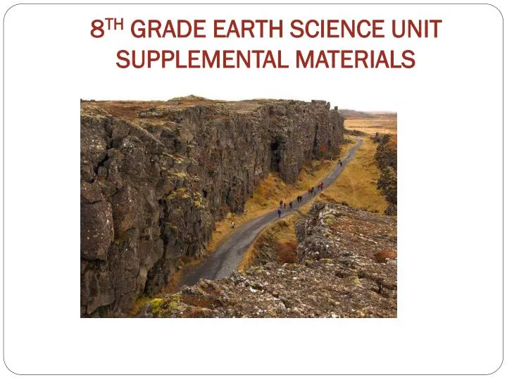
8 TH GRADE EARTH SCIENCE UNIT SUPPLEMENTAL MATERIALS. Teacher Note:. PowerPoint of Earth Science Unit Supplemental Materials. This includes: Scientific Specialty Maps, Plate Boundary Map , Web Links, transparencies, etc.

E N D
Teacher Note: • PowerPoint of Earth Science Unit Supplemental Materials. This includes: Scientific Specialty Maps, Plate Boundary Map, Web Links, transparencies, etc. • These electronic materials have been copied into a PowerPoint as a reference tool for you to enhance classroom discussion of maps, web links, transparencies, etc. It is in no way meant as a replacement to the Earth Science Unit instruction. • Referenced page numbers are for teacher’s guide
INVESTIGATION 1: Layers of the Earth Earth’s Interior Diagram p.7
INVESTIGATION 2: Crustal Plates Part 1: TQHL Chart p.17 Seating Chart for 4-Scientists Groups p.14 Seating Chart for Expert Groups p.14 4 Scientific Specialty Maps p.24-27 Plate Boundary Map p.23 World Map Web link for Interactive World Map • Part 2: • Volcanology Legend: Inv. 2-2 • Sample of Symbols p.48
This lesson was adapted from Discovering Plate Boundaries by Dale S. Sawyer of Rice University • Email: dale@rice.edu • Website Link: Discovering Plate Boundaries
4-Scientists Groups p.14Seating chart for students to divide the 4 Scientific Specialty Maps for each table V=Volcanologist GC=Geochronologist G=Geographer S=Seismologist V GC G S V GC G S V GC G S V GC G S V GC G S V GC G S V GC G S V GC G S
Expert Groups p.14Seating chart for students to divide the 4 Scientific Specialty Maps for each table V=Volcanologist GC=Geochronologist G=Geographer S=Seismologist 4V 4GC 4S 4G 4V 4GC 4S 4G
Web Link for Interactive World Map http://edcsns17.cr.usgs.gov/EarthExplorer/
Volcanology Legend: Investigation 2-2 Sample of Symbols • Description • Type 1 Boundary • Closely spaced line of volcanoes-so close that the red dots overlap • The line is located on one side of the PB • It is close to parallel to the PB • The PB is curved in an arc shape • The volcanoes are on the inside of the curve • Lines of volcanoes end abruptly • Volcanoes often coincide with island chains • Dots in the symbol are on the side of the PB with volcanoes • Type 2 Boundary • Closely spaced lines of volcanoes-not quite so lineated as in • type 1 • Volcanoes are offset from plate boundary • Volcanoes are offset on land (rather than islands) • The line of volcanoes is usually parallel to PB • Line of volcanoes is usually straight or on the “outside” of • curve • Dots in the symbol are on the side of the PB with volcanoes • Type 3 Boundary • Diffuse volcanoes near PB • Volcanoes generally scattered but most on one side of PB • Dots used in symbol if most volcanoes on one side-dots on volcano • side • Type 4 Boundary • Few or no volcanoes associated with PB
INVESTIGATION 3: Pangaea Web Link for Continental Movement p.59
Wegener’s Proposed Continental Movement http://www.classzone.com/books/earth_science/terc/content/visualizations/es0806/es0806page01.cfm?chapter_no=visualization
INVESTIGATION 4: Evidence for Continental Drift Fossil/Geology Clue Sheet p.67 Rock Evidence Sheet 1 p. 68 Rock Evidence Sheet 2 p.69 Fossil Evidence Sheet 1 p.70 Fossil Evidence Sheet 2 p.71 Wegener’s Key to Continent Positions p.72
Investigation 5: Density Layering Solutions Student Sheets p.87-89 Density Algorithm
Density Algorithm D= m V mV D What role do you predict density might play in the movement of the plates?
Investigation 6 Convection Currents Part 2: FOSSweb link p.98 • Part 3: • Convection Currents in the • Mantle Diagram 1 p.107 • Convection Currents in the • Mantle Diagram 2 p.108 • Convection Currents Web Link • p.106
Investigation 6, Part 2Convection Currents www.fossweb.com
Investigation 6 Part 3 Convection Currents http://homepages.see.leeds.ac.uk/~eargah/Conv.html
Investigation 7: Predicting Plate Boundary Movements Predicting Plate Boundary Movements Investigation Student Sheets p.114-117
Investigation 8: Plate Boundary Interactions and Consequences Plate Boundary Interaction Web links p.123-126 Plate Boundaries Graphic Organizer p.129-130
Investigation 8: Plate Boundary Interactions and Consequences http://geology.com/nsta/divergent-boundary-oceanic.gif http://geology.com/nsta/convergent-boundary-oceanic-continental.gif http://geology.com/nsta/transform-boundary.gif http://geology.com/plate-tectonics.shtml
Investigation 9:Plate Boundary Maps Revisited Go to Inv. 2 for Scientific Specialty and Plate Boundary Maps Access Map indicating South America and Iceland p.139