Download
1 / 19
190 likes | 251 Views
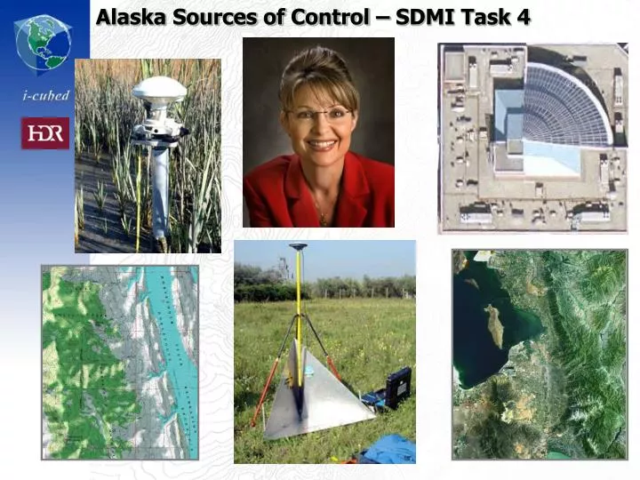
Alaska Sources of Control – SDMI Task 4. Goal & Approach. Conduct a survey of existing control sources. Public and private sources that could be acquired for Alaska utilization. Separate existing image identifiable content Also gather pragmatic feedback from existing practitioners

E N D
Goal & Approach • Conduct a survey of existing control sources. • Public and private sources that could be acquired for Alaska utilization. • Separate existing image identifiable content • Also gather pragmatic feedback from existing practitioners • Produces maps and report
Just because you’ve got itdoesn’t mean it’s the right fit for the job
What is the Application • Geodesy, Costal, Civil Engineering? • Aviation? • Control imagery? • 1:24k NMAS • EO or RaDAR • Correlate with other datasets? • Change detection, veg mapping, EIS? • Control DEM? • Validate imagery or DEM? • Control collection platform?
Some Variables • Desired map scale / accuracy of output products • Interaction with other input components • Error budget • Image identifiability • Orientation related to area of mapping • Stability over time (seasons and years) • Costs of collection • Access • Costs of utilization
Imagery Ortho Error Budget • Many factors contribute to the overall accuracy of map product • DEM • Incidence angle, sensor to ground • GCP • Sensor design • Orbital Position Estimation • AGPS & IMU / Pointing Accuracy • Block size
DEM Accuracy is Significant Error Source for Imagery Location
GCP Accuracy • Keep mapping scale in mind • 1:24K means a 0.1mm thick line is 2.4m wide on the ground! • To achieve NMAS, >90% of all sample points must fall less than 40 feet (12.19m) from ground truth
GCP Accuracy • Most modern survey grade GNSS receivers capable of +/- 5mm + 0.5ppm (1 sigma) • CORS may provide sufficient coverage if SDMI requirements are 1:24,000
Alternatives to CORS • TerraPOS – uses precise GPS satellite ephemeris
GPS and GNSS • Raise elevation mask 2⁰/100km from base to ensure common satellites observed • If possible, use a GNSS receiver rather than straight GPS – better for mountains