Download
1 / 21
210 likes | 308 Views
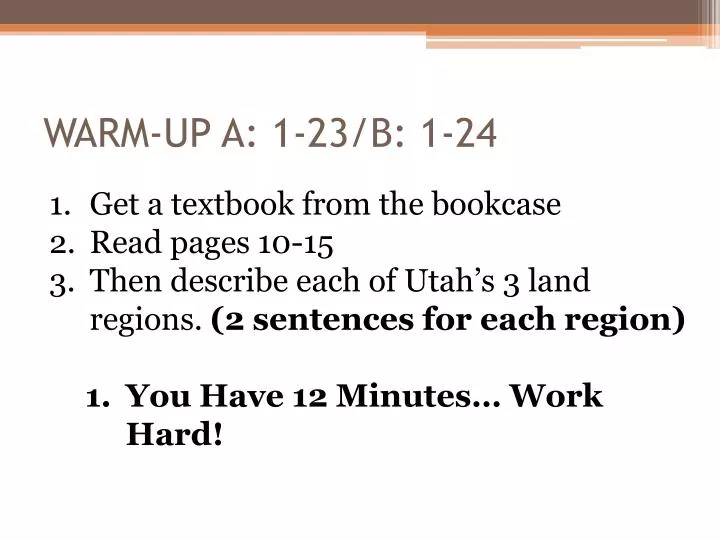
WARM-UP A: 1- 23/ B: 1- 24. Get a textbook from the bookcase Read pages 10-15 Then describe each of Utah’s 3 land regions. (2 sentences for each region) You Have 12 Minutes… Work Hard!. UTAH HISTORY. Unit 1-Becoming a Utah Historian. By the end of today I can say….

E N D
WARM-UP A: 1-23/B: 1-24 • Get a textbook from the bookcase • Read pages 10-15 • Then describe each of Utah’s 3 land regions. (2 sentences for each region) • You Have 12 Minutes… Work Hard!
UTAH HISTORY Unit 1-Becoming a Utah Historian
By the end of today I can say… • I can read and understand how to use a variety of maps. (physical maps, political maps, road maps, thematic maps) • I can identify the three clues to understanding a map. • I can label Utah’s 29 counties on a map
Three essential clues to understand a map. • Compass • Key • Scale
4 kinds of Maps • Political
Review • What is the purpose of a political map? • What is the purpose of a physical map? • What is the purpose of a theme map? • What is the purpose of a road map? • What are the three essential clues to understanding a map and what is the purpose of each? • Can you find the US on the following map? What color is it?
29-6-5-4-3-2-1 • What it means • How to remember • Break it down
29 – Counties in Utah • Follow the instructions on the top of the page with the Counties of Utah Map
6 – States Surrounding Utah • Idaho • Wyoming • Colorado • New Mexico • Arizona • Nevada • Label each on the map provided in your Unit 1 Packet and color each with a different color.
5 – Utah’s National Parks • Zion • Bryce Canyon • Capitol Reef • Canyon Lands • Arches • Label Each in your Unit 1 Map Packet
4 – Physical Features of Utah • Turn to Page 25 in the textbook • Find 4 Physical Features (mountains, etc.) in Utah and label them in their correct location on the map provided in your Unit 1 Packet.
Utah’s 3 Land Regions • 1. Rocky Mountain • 2. Great Basin • 3. Colorado Plateau
The Rocky Mountain Region • Snow provides water • Recreation • Coal, Copper and other minerals
The Great Basin Region • Large, dry desert • Most cities on edge • Rivers form lakes.
The Colorado Plateau Region • High and flat • Little Rain • Rivers • Colorful Rock • Mineral Resources
2 – Cities in Your County (Utah) • Saratoga Springs • Eagle Mountain • Cedar Fort • Lehi • American Fork • Pleasant Grove • Lindon • Orem • Provo • Alpine • Highland • Springville • Spanish Fork • Payson
1 – State Capitol • Salt Lake City