Download
1 / 8
80 likes | 218 Views
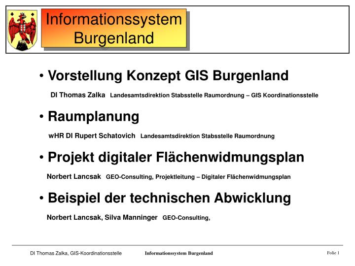
Vorstellung Konzept GIS Burgenland DI Thomas Zalka Landesamtsdirektion Stabsstelle Raumordnung – GIS Koordinationsstelle Raumplanung wHR DI Rupert Schatovich Landesamtsdirektion Stabsstelle Raumordnung Projekt digitaler Flächenwidmungsplan

E N D
Vorstellung Konzept GIS Burgenland • DI Thomas ZalkaLandesamtsdirektion Stabsstelle Raumordnung – GIS Koordinationsstelle • Raumplanung • wHR DI Rupert SchatovichLandesamtsdirektion Stabsstelle Raumordnung • Projekt digitaler Flächenwidmungsplan • Norbert LancsakGEO-Consulting, Projektleitung – Digitaler Flächenwidmungsplan • Beispiel der technischen Abwicklung • Norbert Lancsak, Silva ManningerGEO-Consulting, Informationssystem Burgenland Folie 1
Konzept GIS - Burgenland DI Thomas Zalka Informationssystem Burgenland Folie 1
1994 Programmplanungsdokument Ziel 1 Programm Burgenland 1995 GIS-Realisierungskonzept 1996 - 2000 DKM Burgenland 1999 - 2003 digitale Flächenwidmungspläne 1996 - Aufbau der GIS Systeme im Amt Informationssystem Burgenland Folie 2
DATEN Software aktuelle Daten Software Hardware qualifiziertesPersonal rechtl. gesicherteund hochwertige Daten Informationssystem Burgenland Folie 3
SUBSYSTEME Raumordnung Wirtschaft Land-undForstwirtschaft Umwelt Verkehr Bildung und Kultur Gesundheit Katastrophenschutz Informationssystem Burgenland Folie 4
GIS Koordinationsstelle Daten : • ÖK 50, 200, 500 • Digitale Katastralmappe • Grundstücksdatenbank • Luftbilder • Flächenwidmungsplan • Straßendaten- & graph • Güterwege • Wasserbuch • Flußbaukataster aktuelle Datenbestände • aufbauen • aktualisieren • koordinieren • prüfen • verwalten • verteilen System : • Auswahl • Weiterführung • Wartung GIS Daten für PC‘s in der Landesverwaltung Informationssystem Burgenland Folie 5
technisches Konzept der Verwendung von GIS im Amt Informationssystem Burgenland Folie 6
DATEN Software Aufbau des Datenbestandesmit kompetenten PARTNERN(öffentlich und privat) aktuelle Daten Software Hardware qualifiziertesPersonal rechtl. gesicherteund hochwertige Daten Informationssystem Burgenland Folie 7