Download
1 / 7
70 likes | 200 Views
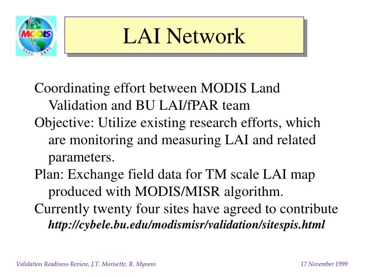
LAI Network. Coordinating effort between MODIS Land Validation and BU LAI/fPAR team Objective: Utilize existing research efforts, which are monitoring and measuring LAI and related parameters. Plan: Exchange field data for TM scale LAI map produced with MODIS/MISR algorithm.

E N D
LAI Network Coordinating effort between MODIS Land Validation and BU LAI/fPAR team Objective: Utilize existing research efforts, which are monitoring and measuring LAI and related parameters. Plan: Exchange field data for TM scale LAI map produced with MODIS/MISR algorithm. Currently twenty four sites have agreed to contribute http://cybele.bu.edu/modismisr/validation/sitespis.html
Flakaliden Mekrijärvi Ruokolahti LAI/FPAR Validation Site Map Kransnoyarsk Core Sites shown in blue
Essential field data LAI/FPAR measurements under different phenological conditions, sufficient for representing the variability within the local biome.
Additional measurements (in order of priority) • Canopy multispectral reflectance (nadir or bidirectional) • Canopy multispectral transmittance • Leaf spectra (reflectance and transmittance) • Background nadir spectral reflectance (soil + litter) • Fraction of vegetation cover • Vegetation crown allometry (height, width, gap) • Phenology (green-up, mature, senescent stage) • Vegetation composition (either by species or structural type) • Wet or dry status • Fraction of non-photosynthesizing vegetation • (at min. photosynthetic activity stage) • Meteorological data • (minimum set: temperature, precipitation for each phonological stage)