Download
1 / 6
60 likes | 69 Views
The Llanganuco Lakes are the main attractions of the park, situated a 45 minute taxi ride away from the lodge. Located in between the towering black vertiginous valley cliff faces, the lakes sit at the bottom of the Huascaran Peaks, with spectacular views down towards to Cordillera Negra. Depending on how far you want to walk, choose your preferred drop off point and then make your way back down the valley to descend through the cloud forest on a pre-Columbian trail.<br><br>Know more: https://www.llanganucolodge.com/classic-treks/

E N D
LLANGANUCO LAKES 45mins 3850m 4 - 6 hrs Moderate 8K - 12K
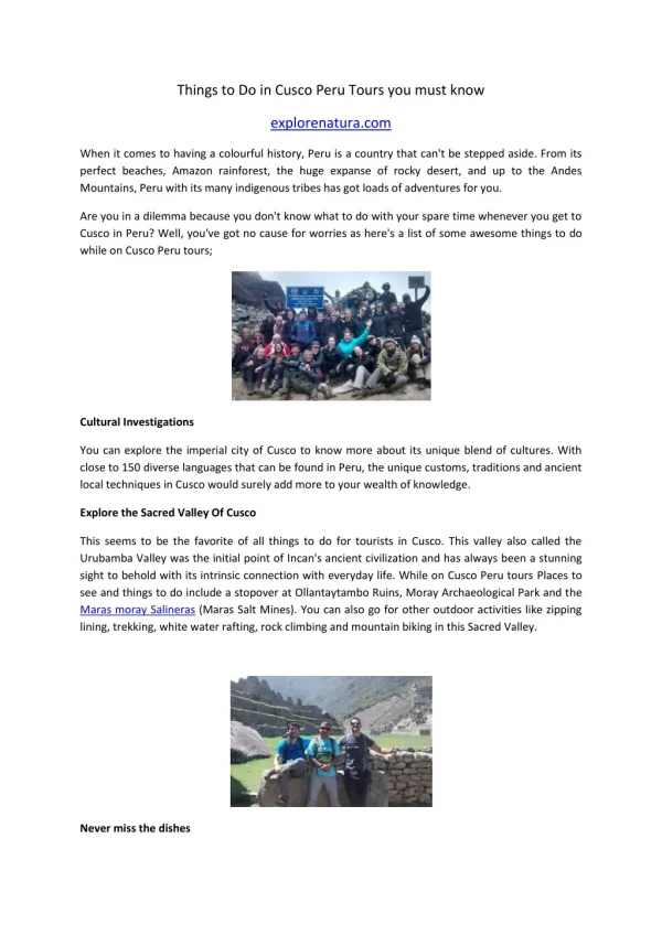
TREK SUMMARY The Llanganuco Lakes are the main attractions of the park, situated a 45 minute taxi ride away from the lodge. Located in between the towering black vertiginous valley cliff faces, the lakes sit at the bottom of the Huascaran Peaks, with spectacular views down towards to Cordillera Negra. The location of the lodge frees you from a 6hr tour bus ride from Huaraz, allowing you to avoid the crowds & enjoy the walk back through the vertiginous gorge. Depending on how far you want to walk, choose your preferred drop off point and then make your way back down the valley to descend through the cloud forest on a pre-Columbian trail.
DROP OFF POINTS Below is a step-by-step trekking description for Atma Hill. Each number refers to the numbered markers on the map, as illustrated in the next page. Depending on how far you are comfortable walking, choose from one of the following drop off points, and then follow the trek description to return to the lodge. ORGONCOCHA (6hrs): From the camping area and building at the end of Lake Orgoncocha, begin to walk down the valley on the road keeping the lake on your left side. Continue slightly up the road, and walk past the end of the lake until you see the next lake fast approaching. 1 YUYOCOCHA (5hrs): Hidden in bushes between the two main lakes are 3 tiny hidden Lakes. To find the trail for these walk out of the valley along the road. REMAIN VERY ATTENTIVE. Just after crossing a water drainage channel under the road there will be a yellow painted rock on your left, go in here to find a wide trail. Follow this trail down the valley, after a while it will become much narrower, where landslides have wiped it out, the trail is rough and mainly follows the edge of the water until you reach the white beach of Chinacocha lake. From here follow the road round for ½ hr until you get to the National Park signpost, turn left over the small wooden bridge to the main area at the South-West end of the lake. 2 CHINACOCHA (4hrs):Turn to look out of the valley putting the rowing boats and lake at your back. Walk between the eating areas until you come to a signpost “Camino Maria Josefa” pointing you right. Follow the trail through the cloud forest noting the bromeliads clinging to their branches. These bromeliads often get so saturated in rainy season that they tear the branches off their hosts, when their water collecting potential is at their maximum. These bromeliads flower mid-April and are a favourite of the hummingbird and inexplicably localised, us having had only two sightings on this side of the Andes, one at Llanganuco Lodge and one on the Maria Josefa Trail, - the Grey Bellied Comet. 3
DROP OFF MAP Below is a map indicating the different drop off points, that all head back towards the ranger station and onto the lodge. Llanganuco Mountain Lodge Lake and Ruins of Keushu Huaraz, 2158,Peru Phone: +51 938202221 Website: https://www.llanganucolodge.com/ Email: hello@llanganucomountainlodge.com
TREK DESCRIPTION Below is a step-by-step trekking description for Atma Hill. Each number refers to the numbered markers on the map, as illustrated in the next page. MARIA JOSEFA FOREST - RANGER STATION After about 3-5 minutes on the Maria Josefa trails inside the forest keep your eyes peeled for a VERY large rock on your left hand side, this is the first of its kind you will see, and is of note as you can follow the path to its left and walk easily on top of it for a photo opportunity down the valley over the cloud forest. 1 This trail continues for about 1 hour with opportunities to see riverside waterfalls, and if you are lucky (and quiet) a white tailed deer (Venado). After about 50 minutes listen out for a relatively large waterfall in the bushes on your right. There is a small track down to the river below the waterfall, which is one of my favourite spots to have a sit down and munch on a well-earned chocolate bar. In mosquito season you will want to move on quickly. 2 10 minutes more and you will come to the ONLY wooden bridge. DO NOT CROSS IT. Instead REVERSE up 10 meters by the rocks on your ORIGINAL LEFT, duck under the bushes WITHOUT DAMAGING them and find the route that continues on down the valley. This route is only done by our guests and we would like it to stay that way. 3 PAY ATTENTION on this part of trail, it has been forgotten and overgrown for generations. Thanks to Charlie´s efforts it is now re-found and passable, however it is backcountry. If you think you have gone off trail back up a little and try again. Keep eyes peeled for Inca steps and for boulders that have fallen into the Inca trail and diverted it. 4 5 After about 45mins-1hr the huge rock walls of the gorge will shorten and the trail will be wide and elevated above the river below you on your right. As the undergrowth dies back you will reach the remains of a wide, 6 granite rock wall across your trail, that perhaps will have a cow skull in a tree. DO NOT CROSS THIS. Instead reverse back up and on your original
TREK DESCRIPTION Negotiate some boulders, and 5 meters down river you will find the Pre- Inca stone bridge, RUMI SAKA. Cross it and take the obvious trail to the road. Turn left towards the Rangers station. Just 10m inside the gate to the park and to your right hand side is a small stone wall, in the bushes, just on the left hand edge of this wall (NOT IN THE MIDDLE OF THE WALL) is a narrow HIDDEN entrance up a basic step, follow this and zig zag up the small slope, take it slowly. 7 At the top you will reach a concrete irrigation ditch turn left along it - walk with the water flow. Follow this until you reach a road, turn right up the road, follow this for about 500m and it will bend all the way back on itself to the left. Just before it starts heading back down away from the mountains there is an exit onto a field between pine trees, enter here, after 200m turn left just before the 1 meter high standing stone. Walk another 200 meters and you are home, come up and get a well-earned hot drink! 8