Download
1 / 7
70 likes | 75 Views
Next Steps. Tim Cox NASA DFRC July 6 & 7, 2005 Herndon, VA. Workshop Milestones Schedule. 7/13/05: Data from templates compiled into workshop summary 7/15/05: Summary posted on web-site 8/5/05: DHS future missions incorporated into assessment

E N D
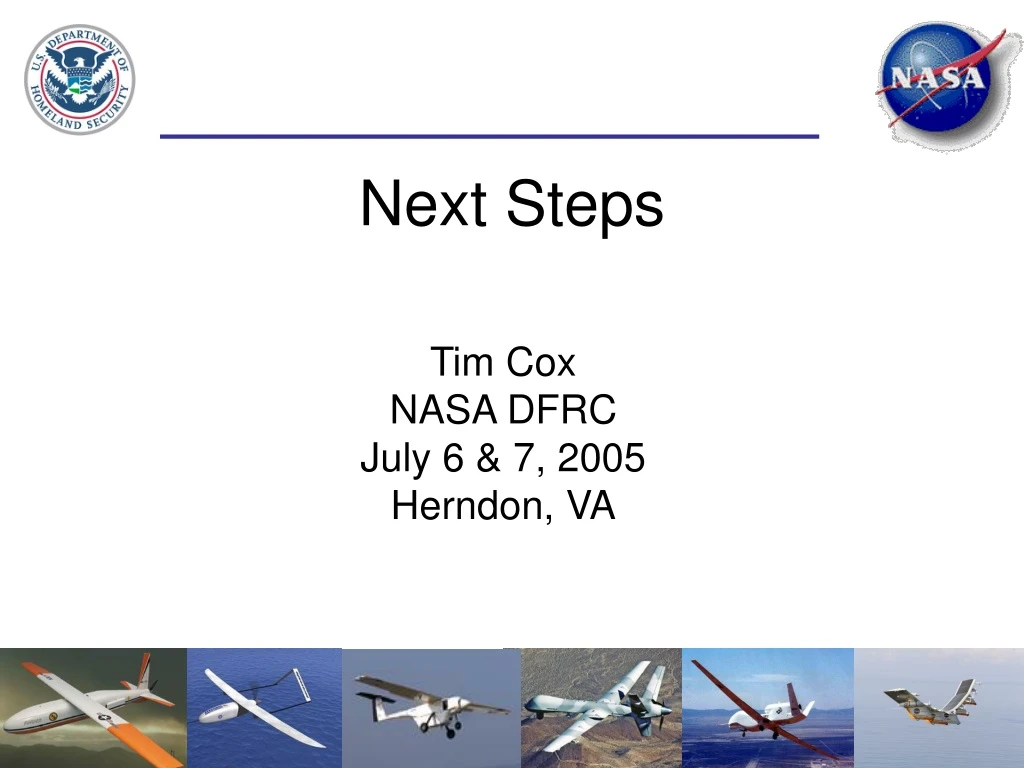
Next Steps Tim Cox NASA DFRC July 6 & 7, 2005 Herndon, VA
Workshop Milestones Schedule 7/13/05: Data from templates compiled into workshop summary 7/15/05: Summary posted on web-site 8/5/05: DHS future missions incorporated into assessment - Mission descriptions summarized in assessment - Capability analysis completed, assessment updated
Civil UAV CapabilitiesAssessment • Task: Develop a Civil UAV Capability Assessment (2015 Time Frame) • Customers: Sub-Orbital Science Program, Vehicle Systems Program • Complement DOD roadmap • Homeland Security, Commercial, Land and Coastal Regions Management, Earth Science focus areas • Objectives: • Influence the management of the UAV technology portfolio based on user defined future needs and missions • Broad civil arena assessment vetted with participating agencies: NASA, NOAA, DOE, U. S. Forest Service, etc. • Initial draft version is available via web-site: http://www.nasa.gov/centers/dryden/research/civuav/index.html • Information sources for initial version: 35 missions • primarily Earth science missions (SSMF, GSFC Earth Science Missions, NASA/DOE/NOAA workshops and UAV Initiative Advocacy) • 21 basic technologies and capabilities identified to support missions
Autonomous Mission Mgmt. Remote Bases Access to The NAS All Weather Contingency Management Precision Trajectories Collision Avoidance Precision State Data UAV Missions Intell. Vehicle System Mngmt Quick Deployment Reliable Flight Systems Deploy / Retrieve Vertical Profiling Over-the-Horizon Communication Terrain Avoidance Outside Cmd. And Control High Availability Long Range and Endurance High Altitude Multi-Ship Operation Formation Flight - PossibleDevelopmentGap Initial UAV Capability and Technology Needs Frequency of Occurrence: High Medium Low
Assessment Schedule • Version 1 to begin securing interagency commitment • Updates annually after version 1 release: • Commercial sector missions • Increasing depth in technical gap analysis • Integrate inter-agency program dependencies into strategic roadmap
Upcoming Events • Land Management and Coastal Zone Dynamics Workshop • Precision Agriculture, Forest Service, Coastal Regions, etc • July 26th & 27th • Monterey, CA • Capabilities Assessment web-site: • http://www.nasa.gov/centers/dryden/research/civuav/index.html • Link to the data from this workshop
Closing Remarks • Special thanks to …. • Merv Leavitt • Plenary Speakers: Lisa Veitch, • Nuke Newcombe • Reception coordination: Joe Shaw • Facilitators of breakout sessions: • Joe Shaw • Bruce Lichtman • John Riordan • Thanks to all the attendees!!!!