Download
1 / 14
140 likes | 262 Views
The Earth System Grid. The Challenges of Building Web Client Geo-Spatial Applications Eric Nienhouse NCAR. Outline. A Case Study of UI Development Brief Overview of the Earth System Grid Focus on User Interface for Visualization Present User Feedback and Technical Challenges

E N D
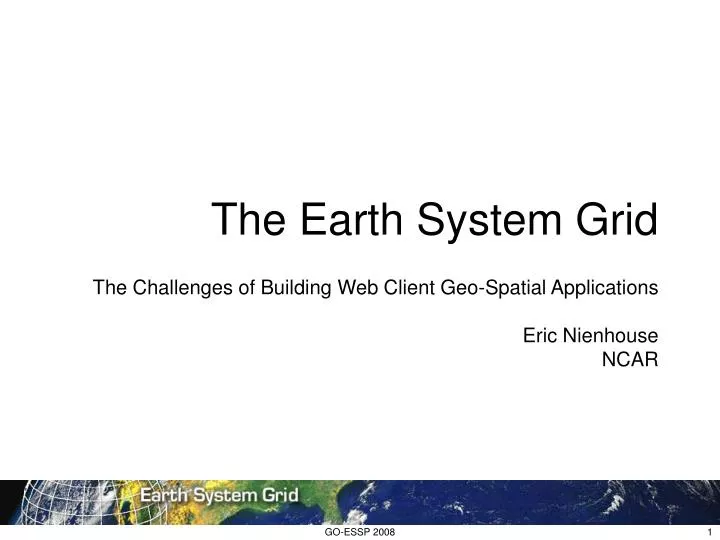
The Earth System Grid The Challenges of Building Web Client Geo-Spatial Applications Eric Nienhouse NCAR GO-ESSP 2008
Outline A Case Study of UI Development • Brief Overview of the Earth System Grid • Focus on User Interface for Visualization • Present User Feedback and Technical Challenges • Consider Next Steps in UI Development GO-ESSP 2008
What is the Earth System Grid? Distributed System of Gateways and Data Nodes • Access Control and User Management • RDF Metadata Search • Data Access and Download • Collection Browsing • Collection Tagging and Annotation • Deep Storage Data Transfer and Monitoring • Visualization and Data Products • Model Comparison • Use Metrics and Reporting GO-ESSP 2008
User Interface for Visualization Basic Requirements • Provide ability to visually identify data of interest • Usable by wide range of technical abilities • Support future needs of comparison and sub-setting • Integrate with gateway context and look and feel • Flexible enough to adapt to new backend services • Functional enough to generate feedback GO-ESSP 2008
User Interface for Visualization Alpha Process: How We Started • Lightweight client based on JavaScript/Ajax • Use Live Access Server to deliver visualization • OpenDAP and aggregation capabilities of TDS • Develop within Java/Spring gateway framework • Use known Google Maps API GO-ESSP 2008
User Interface for Visualization Initial Prototype: • Google Map API • Custom selection overlay • Dojo JavaScript Toolkit • Tree based selection • Ajax application with JSON • Proxy client to access LAS • LAS Armstrong v 0.4 • TDS v 3.16 GO-ESSP 2008
Component Communication Proxy Client: • Request pass through to LAS • Avoid browser security • Augments LAS capabilities • Preserves gateway context • Allows Flexibility GO-ESSP 2008
Initial Prototype: Feedback and Lessons Learned: • Single page UI is an improvement over wizard • Screen real estate must be used wisely • Tree based UI tedious for some • User reset of region is critical for usability • Visualization tools excite people and yield feedback • People look closely at dataset and variable names • Visualization helps identify data problems • Dojo toolkit is good but poorly documented • TDS aggregations + LAS is a powerful combination • Configuration of TDS and LAS must be automated GO-ESSP 2008
User Interface for Visualization Back to the Drawing Board: • Review of feedback • Wire-frame drawings • Basic formal specification GO-ESSP 2008
User Interface for Visualization Second Prototype: • YUI user interface • Improved real estate use • Improved state indication • Pre initialized dataset and variable • Ajax application with JSON • Proxy client access to LAS • Place holder for sub-setting UI • LAS V7 Beta • F-TDS v 3.16 GO-ESSP 2008
Second Prototype: Feedback and Lessons Learned: • Differing communities have diverse abilities • Modeling community prefers to access data directly • Simplified work flows needed for some user groups • Combine selection and presentation UI for efficiency • Averaging and analysis functions are desired by many • Plot legends, times and source data labels are important • Variable names must be consistent • TDS + NcML critical in making data “visualize-able” • Delayed delivery is important consideration for UI • Saving regions of interest and product result are desired • Polar projections unlikely to be supported by Google Maps • Firebug extremely useful debugging tool • JavaScript frameworks produce browser incompatibilities GO-ESSP 2008
Next Steps: What will we do with these findings? • Collect more feedback from ESG test-bed deployment. • Consider formalizing user studies and observations • Expose more analysis features of LAS • Add multi-variable selection for analysis, sub-setting, layering • Integrate geographic selection with search tools • Explore more “polar capable” UI components • Explore WMS visualization capabilities • Exploit more of the F-TDS analysis, sub-setting capabilities • Continue to refine and improve quality of the UI • Encourage community convergence on UI best practices GO-ESSP 2008
Thank You! In particular: • Ansley Manke, PMEL • Roland Schweitzer, PMEL • John Caron, UNIDATA • Collaborators at ANL, LBNL, PCMDI and many others… GO-ESSP 2008
Questions? GO-ESSP 2008