Download
1 / 30
300 likes | 414 Views
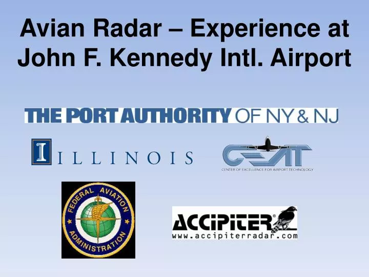
Avian Radar – Experience at John F. Kennedy Intl. Airport. Introduction. FAA avian radar performance assessment program at several US airports The Center of Excellence for Airport Technology (CEAT) cooperated with JFK to define objectives for radar analysis & analyze radar data

E N D
Introduction • FAA avian radar performance assessment program at several US airports • The Center of Excellence for Airport Technology (CEAT) cooperated with JFK to define objectives for radar analysis & analyze radar data • Avian radar was deployed to JFK and was operational in January 2010 (AR-2) • After an initial period of tuning and calibration, the radars have been operating continuously since March 2010 (AR-1 + AR-2) • 2 radar systems deployed • AR1 (single sensor) • Located between runways 22L and 22R by Rockaway Blvd. • Array antenna • AR2 (dual sensors) • On Jamaica Bay at the midpoint of 13L/31R • Parabolic dish antennas - beam
Objectives • General Activity • Observe both low and high elevation targets with the AR2 • Concentrations of detections shows where groups of birds are staging and what areas can be attractants to large numbers of birds • Timing related to sunrise/sunset & tides • Night Movement • Frequency, timing, and direction • Migration • migration periods and patterns of bird dynamics related to migration • Local Bird Movements • Radar can provide information on local bird movements • Information on long and short distance commuters
Understanding Radar Physics AR-2 • Parabolic dish antenna produces a cone of energy directed in a beam • AR-2 has 2 dishes set at different up-tilt angles • 2 cones of energy emitted from the sensor • Antennas rotate 360° for total coverage.
Radar Physics AR-2 • The AR2-L (low) is a 4° beam tilted to center at 2° above horizontal. Hence this sensor covers from horizontal to 4° • The AR2-H (high) is a 4° beam tilted to center at 6° above horizontal . Hence the AR2H covers from 4° to 8° • This a zone of coverage with altitude specific information.
AR-1 Coverage Characteristics • AR-1 antenna beam ht approx. 11o from horizontal • Top of the beam reaches 1000 ft @ 1 mi, 3000 ft @ 3 mi • Maximum range is 5 mi (with no coverage near the radar)
Understanding Radar Coverage AR-1 • Joco Marsh - top of the beam at the north is lower than at the south • The energy producing a target echo is greater in the north than the south, influencing the size of targets reliably detected 2064’ at 2 miles 2577’ at 2.5 miles 3090’ at 3 miles 3604’ at 3.5 miles
ANALYTICAL METHODS - MASKING the AR2-L Because the beam of AR2-L covers low elevations over the airport, a mask was created to assist in our analysis. (Note: it was not necessary to mask AR2-H) May 20 2010; 04:30:00a.m.-5:00:01a.m.(Local Time), without the use of a mask May 20 2010; 04:30:00a.m.-5:00:01a.m.(Local Time), With the use of a mask
Multipath • Must understand to separate from bird tracks • Common to all radars, multipath occurs when a large target is close to the radar • Multipath occurs when radar pulse energy is reflected, strikes a 2nd object and both the primary and secondary echoes are received by the radar. The radar interprets the returns at 1st object’s azimuth and the distance of the 2nd object. • This usually appears as a “fan” of tracks moving in the same direction on the radar screen • Aircraft are the main source of multipath at airports • Large vehicles like semi-trucks also cause multipath.
Areas of frequent multipath AR-1 Yellow boxes represent areas where multipath occurs only when certain runways are being used. Multipath is usually caused by landing aircraft and is very predictable. Red polygons represent areas where multipath is present, but unpredictable. Most occurrences are due to taxiing aircraft and vehicles on the airfield and on Rockaway blvd.
How to Differentiate Birds Tracks • Track Characteristics • move independent of roads & txys • move consistently between different locations (land to water) • travel at bird speeds • Plots or long track history help distinguish bird tracks from multipath • Bird targets (and any physical target) leave a trail of plots behind a track • Video is faster than real-time, allows rapid analysis
AR2-L ITO Initial Track Observation (ITO) results indicate both the variability expected from day to day, and general timing of ITO type movements during the day. Note: it is possible to have many single tracks and no ITOs
Common Movements: AR2 in May Yellow = AR2-H movements Red = AR2-L movements
Summary of Movements for September 2010 - Night Yellow – AR2-L Red – AR2-H
Summary of Initial AR-2 Analysis • Timing • peak of activity in the 15 minutes surrounding sunrise. • higher levels of activity in the afternoon and near sunset. • least amount of activity at night • Location Analysis • high levels of bird activity in Jamaica Bay • Subway Island may play significant role in activity at JFK • Upcoming Studies • comparison of amount of tracks in Jamaica Bay v. JFK • analysis of ITOs and movements for other months • validation studies • and more !!!
AR-1 Summary of MovementsMorning The Yellow arrows represent movement from the terminals The Red arrows represent the movement in Thursten Basin and the marsh
AR-1 Summary of MovementsEvening The Yellow arrows represent movement to the terminals The Red arrows represent the movement in Thursten Basin and the marsh
Radar Validation – Bird Surveys • 3 minutes in each location • Data recorded: • Survey date & time • Time of individual birds • Bearing • Direction of movement
Bird Survey Validation Summary • Benefits • learn the airfield better • learn typical bird movements to a greater extent • By comparing field notes with radar records, gain sense of where we have radar coverage and where we do not • Drawbacks • Very few targets moving and of appropriate height • Can’t see as far with binoculars • Lack of precision in bearing (at multiple observation points) • Validation is ongoing for all avian radar installations • Need to increase sample size. • Must use other validation methods developed by CEAT.
Bergen Basin Beams from 0-255m at far side, and 0-185m at the bottom Green Lines = Headings 120-230 Red polygon = polygon used in TDV The red polygon’s near corner is 1.3mi from the radar and the far corner is 2.4mi away.
AR-2 Average Heading Green lines indicate the headings 120 and 240. AR2-1 average headings 120°-230° AR2-2 average headings 150°-240° Heading derived from angle between current track & previous track update.
AR-2 Average Speed (mph) The speed for all updates in a track were averaged for an average track speed. These avg. track speeds were then averaged for all the tracks in 1 hour segments for Nov. 22, 2010.
Radar Advantages • Collect data remotely • Collect data despite observation conditions • Unbiased in observation locations • Collects data faster than human observer • Able to detect birds beyond human detection capabilities
Radar Limitations • Not practical for real time warnings • Very technical tool requires dedicated personnel • Expensive • Cannot discriminate between single birds and flocks or between species of birds • Need several radar units to cover large areas • May sacrifice distant detection for near detection or ?