Download
1 / 15
150 likes | 159 Views
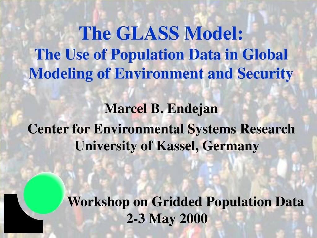
The GLASS Model: The Use of Population Data in Global Modeling of Environment and Security. Marcel B. Endejan Center for Environmental Systems Research University of Kassel, Germany Workshop on Gridded Population Data 2-3 May 2000. Overview. Introduction The GLASS Model

E N D
The GLASS Model:The Use of Population Data in Global Modeling of Environment and Security Marcel B. Endejan Center for Environmental Systems Research University of Kassel, Germany Workshop on Gridded Population Data 2-3 May 2000
Overview • Introduction • The GLASS Model • Crisis Probability • Susceptible / Potentially Affected Population • Need for gridded population data • Specification for population data • Conclusion
Introduction • Many aspects of • environment • human security • Extreme climate events • Long term changes • Response of society • Quantification • Integrated Model environment social natural human being political economical
Security Diagram • Three Concepts • Degree of a certain stressor • Susceptibility to this kind of stressor • Crisis Crisis Occurrence e.g. Ethiopia 1973 No Crisis Occured Environmental e.g. Sudan 1953 Stressor Boundary: High Probability of Crisis Boundary: Low Probability of Crisis State Susceptibility
Security Diagram - Indicators • StressorFraction of country area with water availability substantially below normal • SusceptibilityNormalized GDP per capGDP’ = 1 - (GDP/100,000 US$) • Crisis‘Droughts’ from EM-DAT (~600)
Security Diagram - Example 1 0.8 Stressor 0.2 0 8000 US$/cap 0 US$/cap 0.936 0.952 0.968 0.984 1 0.92 Susceptibility (GDP’) country year reported drought
Security Diagram - Crisis Probability Boundary: high & low crisis probability [0.800;1.000[ [0.600;0.800[ Water Stressor [0.400;0.600[ Crisis Probability [%] [0.200;0.400[ 10-15 5-10 0-5 [0.000;0.200[ [0.936;0.952[ [0.952;0.968[ [0.968;0.984[ [0.920;0.936[ [0.984;1.000[ Susceptibility [1-GDPnorm]
Susceptible Population • Young (<14) and old (> 60) people with GDP/cap below poverty line • Poverty line according to World Bank • Developing countries: 1 US$/day (365$/a) • Latin America: 2 US$/day (730) • Eastern Europe+CIS: 4 US$/day (1460) • Industrialized Countries: 14.4 US$/day (5256) • Income distribution estimated using GINI index
Need for Gridded Population Data To improve • Concept of potentially affected population • more detailed calculation of susceptible population • Affected population = susceptible population in affected areas • stressor concept • more detailed calculation of affected areas • take water use into consideration
Specification for Population Data • Gridded population data for different time intervals needed about • population density per grid cell • urban/rural fraction per grid cell • access to water, food, and other resources • Currently available • population density per grid cell
Population Data - Used • Calculation of domestic water withdrawals
Conclusion • GLASS: Model to quantify the linkage between environment and human security • Population data needed to calculate • water use, food demand (stressor/crisis probability) • susceptible / potentially affected population • Gridded population data (time intervals) • population density • urban/rural fraction • access to water, food, and other resources