Download
1 / 21
210 likes | 386 Views
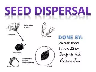
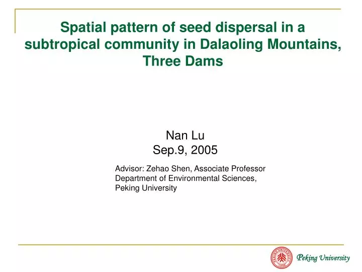
P eking University. Spatial pattern of seed dispersal in a subtropical community in Dalaoling Mountains, Three Dams. Nan Lu Sep.9, 2005. Advisor: Zehao Shen, Associate Professor Department of Environmental Sciences, Peking University. Primary/original dispersal. Secondary/post dispersal.

E N D
Peking University Spatial pattern of seed dispersal in a subtropical community in Dalaoling Mountains, Three Dams Nan Lu Sep.9, 2005 Advisor: Zehao Shen, Associate Professor Department of Environmental Sciences, Peking University
Primary/original dispersal Secondary/post dispersal Parent Plant Soil Seed Bank Seed Rain Seedling Seed dispersal Dispersal is the departure of a diaspore (seed or fruit as the unit of the plant that is actually dispersed) from the parent plant. Seed dispersal process: Environmental Sieve Environmental Sieve Life history loop
Seed dispersal pattern • Previous studies on the seed dispersal pattern mainly focused on: An individual plant or a single population (seed shadow) in the homogeneous environment. • Seed dispersal pattern at the community level in the heterogeneous environment is little understood.
Position Shape Exposure Steepness Objectives • Topography is one of the major sources of spatial heterogeneity. • I aim to find out if the community-level seed dispersal pattern is affected by topographic heterogeneity. Pattern of Seed rain Parent plant distribution Wind, Gravity Surface soil runoff, erosion Landform Community seed dispersal pattern Pattern of soil Seed bank * 1: To examine if topographic factors (slope position, shape, exposure, steepness) have unique influence on the spatial pattern of seed rain. * 2: To examine if topographic factors (mainly position) have unique influence on the spatial pattern of soil seed bank.
Study Area • Dalaoling Mountains, northern bank of the Three Dams, Hubei Province • 110º52'~111º01‘ E, 31º01'~31º08‘ N • Subtropical region • Ever-green and deciduous broadleaved mixed forest • Middle range of the mountain: 1100~1700 m • National Forest Park • Elevation: 1440-1490 m • Community structure: Dominant deciduous species: Fagus lucida (Fagaceae), Sorbus folgneri (Rosaceae) Dominant ever-green species: Cyclobalanopsis myrsinaefolia (Fagaceae).
Methods Seed Rain • Collecting seeds every two days from Aug.1 to Dec. 31, 2001~2004 • Plastic mesh cone (0.6 m deep, 1 m2 ) supported by a round wire frame 1 m off the ground. • Sampling Design: Exposure(1-3) Position(1-5) Shape(1-3) Steepness • 10 topographic positions(sites), each site has 10 repetitions, 100 plots in total. ridge mid-slope
Methods Soil Seed Bank • Two collections were operated on May 1 and Oct. 1, 2002. • Sampling design:Position (top-ridge, slope, valley) Litter-fall layer 0-5 cm layer 5-10 cm layer • 0.2 m * 0.2 m • 40 subplots in total • Seed Identification: • Arboreal seeds (>0.85 mm) : Filtering with • sieves (No. 6, 10, 20), picking out. • Herbaceous seeds (<0.85 mm): Germination, • Illuminated incubator, 25(±1)℃ , 60 days.
Data Analysis • Parameters: Seed Rain Density = seed number (Ind.)/ m2 Species Richness = number of species / m2 Reserves of Soil Seed Bank = seed number(Ind.)/ m2 SorensonCoefficient,SI = 2C/(A+B) • Statistical Test:Non-parameter Kruskal WallisTest
Results – pattern of seed rain(1) Pattern of the seed rain density Table 1 Kruskal Wallis Test of seed rain density difference among groups divided by the three types of topographic factors
Seed density (Ind. /m2) Position Shape Exposure Topographic Grouping Factors Figure 1 Comparison of seed rain density (average of 2001 to 2004) on different topographic positions, shapes and exposures.
Seed density (Ind. /m2) Steepness (°) Figure 2 Seed rain density (average of 2001 to 2004) on the slope gradient
Number of species Steepness ( °) Figure 3 Species richness of seed rain on the slope gradient (2) Pattern of species richness of the seed rain Table 2 Kruskal Wallis Test of species richness difference among groups divided by the three types of topographic factors
Conclusion Seed rain density and the species richness are greatly affected by slope position, shape and exposure; steepness has no effect on seed rain density and the species richness. Pattern of the parent tree density, productivity Seed dispersal in horizontal and vertical directions —light/energy/water/nutrient —wind speed/direction; gravity Topography Pattern of seed rain Wind Gravity
(1) Vertical distribution of reserves of soil seed bank Results – pattern of soil seed bank Figure 4 Reserves of herbaceous seeds (Ind./m2) Kruskal Wallis Test, *p <0.05, **p < 0.01 A: Litter-fall layer B: 0~5cm C:5~10cm LY: Fagus lucida forest MZX: Capinus fagesii forest TSL: Tsuga chinensis forest Figure 5 Reserves of arboreal seeds (Ind./m2)
Top-ridge Slope Valley Top-ridge Slope Valley Type of community Figure 7 Reserves of arboreal seed bank on three slope positions (2) Reserves of soil seed bank on different slope positions Type of community Figure 6 Reserves of herbaceous seed bank on three slope positions Kruskal Wallis Test, *p <0.05, **p < 0.01 LY: Fagus lucida forest MZX: Capinus fagesii forest TSL: Tsuga chinensis forest
(3) Comparison of vertical distribution of arboreal and herbaceous soil seed bank reserves on different slope positions Percent Figure 8 Distribution of soil seed bank in soil profiles T: Top/ridge S: Mid-slope V: Valley A~F: Arboreal seeds: LY Autumn(A)Spring(B); MZX Autumn(C) Spring(D); TSL Autumn(E) Spring(F) G~H: Herbaceous seeds: LY Autumn(G) Spring(H); MZX Autumn(I) Spring(J); TSL Autumn(K) Spring(L) Slope position
Conclusions • Lower slope positions have relatively frequent disturbances, which make it easier for seeds to move into the earth; At the same time, seeds on lower positions are buried by the surface soil transported from higher positions. Seeds are accumulating at lower positions! The pattern of the community soil seed bank is greatly affected by position factor.
Results - analysis of arboreal seed dispersal : Comparing seed rain and soil seed bank Comparison of quantity: Table 4 Seed bank reserves (Ind./m2) B/R Ratio Table 3 Seed rain density (Ind./m2) SPR 15 17 189 AUT 11 21 19 B seed rain density R seed bank reserves Comparison of spatial pattern: The average seed rain density of 4 years are significantly different at three slope positions: P01~04 = 0.0087(α= 0.05),Top-ridge>Mid-slope>Valley. The seed bank reserves are not significantly different at three slope positions: P Spring = 0.9551,P Autumn= 0.8141(α = 0.05). The result indicates:More seeds input did not lead to more seeds accumulation in the soil on higher slope positions.
Discussion • From the primary to the secondary dispersal processes, the spatial pattern of community seeds was greatly changed. • The pattern of parent trees, which is highly correlated with topography was still the determinate factor of seed rain pattern. Seeds tended to distribute within the range close to their mother plants; On the other hand, the primary seed dispersal was affected by wind, which is also related to topographic characteristics. • In the secondary seed dispersal process, soil erosion and soil accumulation from high positions to low positions led to the seed flux along the aspect gradient, re-shaping the spatial pattern of the seeds on different positions and in different soil depth. This process weakened the seed rain pattern after the primary seed dispersal.
Wind Gravity Light, temperature, nutrients,water Transmission 地表搬运 Conclusions Topography and geomorphological processes played significant roles in the process of seed dispersal from three aspects: • Controlling the distribution pattern of parent trees; • Affecting the important dispersal force – wind; • Driving the erosion, transmission and deposition of soil flux with seeds carried in it.