Download
1 / 51
510 likes | 611 Views
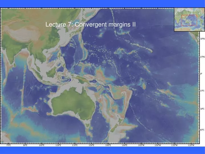
Lecture 7: Convergent margins II. Original: Molnar et al. (1979). K&V 2 nd Edition. KK&V 3 rd Edition. KK&V Fig 9.3. Why are back-arc basins preferentially found in the Western Pacific?. Green = 0 – 50 km Yellow = 50 – 250 km Red = > 250 km. Peru-Chile trench.

E N D
Original: Molnar et al. (1979) K&V 2nd Edition KK&V 3rd Edition
Why are back-arc basins preferentially found in the Western Pacific?
Green = 0 – 50 km Yellow = 50 – 250 km Red = > 250 km Peru-Chile trench
Note: Altiplano (center) Fold and Thrust Belts (on the east)
Note shallow dip beneath Peru and Central Chile Green = 0 – 50 km Yellow = 50 – 250 km Red = > 250 km Nazca Ridge Juan Fernandez Islands
Processes occurring on the “landward trench slope” Accretionary versus non-accretionary environments Atacama Desert Filled barbs = accretionary Open barbs = non-accretionary
Accretionary prisms grow over time Outer arc high
Anak Krakatoa Nias Sumatra Krakatoa Java Islands south of Sumatra and Java are “outer-arc highs” The deeps between the islands and the mainland are “fore-arc basins” Indonesian Arc: Sumatra-Java trench Movie title: Krakatoa, East of Java
The decollement is the boundary between undeformed sediments that are being subducted and the scraped off, accreted material The style of faulting in the accretionary prism is called imbricate thrusting
Imbricate thrusting Coulbourn, 1981
Nankei Trough: classic accretionary prism KK&V Fig 9.20
Drilling shows that 20 Ma ago lower slope was very shallow Some process is removing lower slope material from underneath
Subduction erosion by interaction with horst and graben topography Chile Trench Von Huene and Ranero 2003
Horsts and grabens develop on the flexural bulge seaward of Chile trench
Gravity Horsts and grabens develop on the flexural bulge seaward of the Chile trench
Depth to the slab beneath volcanic arcs ≅125 km Profiles are aligned on volcanic axis
orange = zones of phase changes Shallowest zone supplies H2O for melting arc magmas Deeper zones are source of deep earthquakes
Nankei Trough Izu-Bonin Trench Shikoku Basin Philippine Sea Mariana Basin Mariana Trench Parece-Vela Basin Challenger Deep (10,920 m) Back-Arc Basins
Active Arc Seafloor ages Fossil Spreading Center 25 – 15 Ma Active arc Fossil Spreading Center 60 – 35 Ma Active Back-arc basin Remnant Arc Remnant Arc
Development of a series of progressively younger back-arc basins Driven by trench roll-back
Pacific Plate Fossil Trench Active arc Fiji Lau Bain Tonga Trench Remnant Arc Active Arc Australian Plate
Lau Basin: 6 Ma old fast spreading ~ 100 mm/yr KK&V Figs 9.31 and 9.32
Lau Basin Good magnetic anomalies Note: Central Anomaly, J, 2, 2A Zellmer & Taylor 2001
Solomon Islands New Guinea Woodlark Basin
Woodlark Basin Small basin actively spreading in front of the arc; great seafloor spreading magnetic anomalies Spreading axis is being subducted at the east end Spreading axis is propagating into New Guinea at the west end, rifting this piece of continent See KK&V 7.8.2 in Continental rifting chapter
Ontong Java Plateau Solomon Arc Vitiaz trench Arc-reversal Until ~20 Ma the Pacific plate was underthrusting Australia all along the arc from the Solomons to the Vitiaz trench By 10 Ma, the arc had reversed and the Australian plate was underthrusting the Pacific plate Attributed to the collision of the Ontong-Javav plateau with the trench
Abandoned Vitiaz Trench Fiji Fiji Basin New Hebrides Trench