Download
1 / 26
260 likes | 266 Views
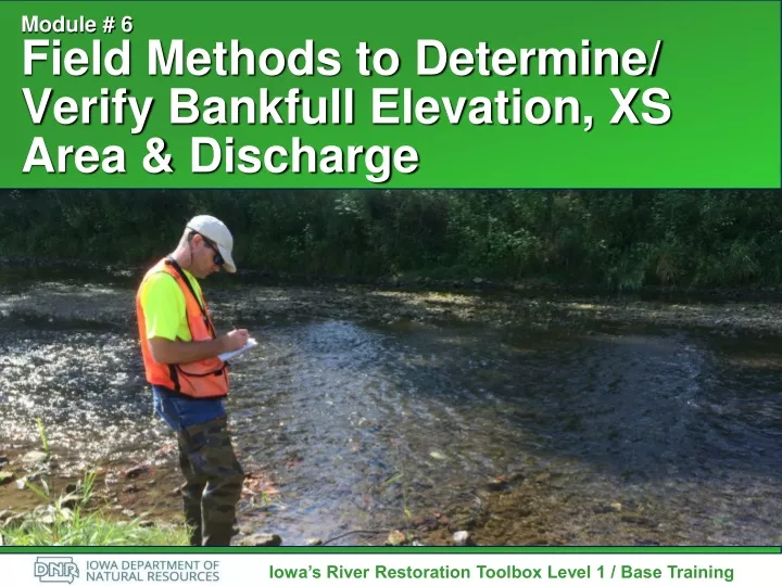
Module # 6 Field Methods to Determine/ Verify Bankfull Elevation, XS Area & Discharge. Iowa’s River Restoration Toolbox Level 1 / Base Training. Overview of Basic Field Data Collection. Site Map Cross Sections Longitudinal Profile Sediment Samples Reach Ave Pebble Count

E N D
Module # 6Field Methods to Determine/ Verify Bankfull Elevation, XS Area & Discharge Iowa’s River Restoration Toolbox Level 1 / Base Training
Overview of Basic Field Data Collection • Site Map • Cross Sections • Longitudinal Profile • Sediment Samples • Reach Ave Pebble Count • Riffle Armor Pebble Count • Bar Sample • Stream Assessment Harrelson, C.C., Rawlins, C.L., and Potyondy, J.P. Stream Channel Reference Sites: An Illustrated Guide to Field Technique: General Technical Report RM-245, Fort Collins, CO: U.S. Department of Agriculture - Forest Service, Rocky Mountain Forest and Range Experiment Station, 1994.
Site Map • General Info • Legend • Photo Points • Terraces • Features • Pool/Riffle Sequences • Gravel & Sand Bars • Abandoned Channels • Measurements
Buffalo Run, KY courtesy Stantec Bankfull Discharge • Controls Average, Long-Term Channel Form • Corresponds to the Discharge that Channel Maintenance is Most Effective over the Long-Term • Low Recurrence Interval • Lower Recurrence Interval in Urban Watersheds flow bkf time
Bankfull Indicators • Flat, Depositional Surface Adjacent to Active Channel • Height of Depositional Features (Point Bars) • Change in Vegetation • Slope or Topographic Breaks or Changes Along the Bank • Check Versus Water Level
Cross Section Measurements Source: DL Rosgen
Cross Section Measurements • Bankfull Call/Elevation • Inner Berm Features • Floodprone Width • Bankfull Area • Bankfull Width and Depth
Profile Survey • Thalweg • Water Surface • Define Facets • Bankfull Indicators • Lowest Bank • Terraces, Etc.
Measuring Water Depths • Height of Rod @ Thalweg Location • Hold Rod at Water Surface • Move to River’s Edge
Profile Survey • Bankfull Slope • Facet Slopes – Always Measure Water Surface • Pool to Pool Spacing • Pool Lengths • Facet Maximum Depths – Channel Bottom to Bankfull Elevation • Low Bank Height or Valley Bottom
Particle Size Distributions • Field Measurements of Channel Materials • Reach Average (classification) • Riffle Bed (armor layer) • Depositional (bedload transport) • Estimate Distributions • Used to Estimate Bed Roughness
Pebble Counts & Bar Samples 3. Obtain Sieve Analysis at the location of the largest particle on lower 1/3 of point bar or other depositional feature 1. Obtain a 100-particle pebble count on 10 transects from bankfull to bankfull throughout the reach (Classification) 2. Obtain a 100-particle pebble count in the riffle bed (Sediment Transport)
Planform Geometry Measurements Wbkf = Bankfull Width Wblt = Belt Width Am = Amplitude Lm = Meander Wavelength Rc = Radius of Curvature
Channel Length/Valley Length -or- Valley Slope/Channel Slope Sinuosity
Design Reach Data Collection • Dependant Upon Purpose of Project • Impacted Reach (Minimum Data per Stream Type) • Planform Measurements • Riffle Cross Section • Reach Average Pebble Count • Riffle Bed Material Pebble Count • Bar Sample Sieve Analysis • Longitudinal Profile
Additional Design Reach Data Collection • Site Constraints • Upstream and Downstream Tie-In • Tributaries • Valley Type and Slope • Available Material Onsite • Potential Restoration Methods
Reference Reach Criteria • Stable Reference Stream in Same Hydro-Physiographic Region • Same Stream Type as Intended Design • Stable for Two Meander Wavelengths (20 Bankfull Widths) • Best if Similar Valley Slope and Sediment Regime as Impacted/Design Reach
Reference Reach Data Collection • Planform Measurements • Facet Cross Sections (Riffle, Run, Pool & Glide) • Longitudinal Profile through 2 Meander Wavelengths (Minimum) or 20 to 30 Bankfull Widths • Reach Average Pebble Count • Riffle Bed Material Pebble Count • Bar Sample Sieve Analysis • Pfankuch Channel Stability Assessment • Site Controls (Bedrock, Wood)
Module # 6Field Methods to Determine/ Verify Bankfull Elevation, XS Area & Discharge Iowa’s River Restoration Toolbox Level 1 / Base Training