Download
1 / 14
140 likes | 214 Views
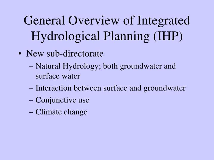
General Overview of Integrated Hydrological Planning (IHP). New sub-directorate Natural Hydrology; both groundwater and surface water Interaction between surface and groundwater Conjunctive use Climate change. Functions. Support service to DWAF CD:IWRP CD:IM RDM

E N D
General Overview of Integrated Hydrological Planning (IHP) • New sub-directorate • Natural Hydrology; both groundwater and surface water • Interaction between surface and groundwater • Conjunctive use • Climate change
Functions • Support service to DWAF • CD:IWRP • CD:IM • RDM • Management and guideline documents (management tools) • Hydrological planning and management • Geohydrological management and planning • Limited development of tools to support planning
PSP Projects • Groundwater Decision Tool (GDT) (DWAF and WRC) • Guideline document: Planning, development and management of dolomitic aquifers • Guideline document: Artificial recharge as part of planning. (WRC and DWAF)
In-house projects • Conjunctive use • Deep aquifers in the Eastern Limb of the BIC • Alluvial aquifers and off-channel storage • Support to Internal Strategic Perspectives (ISPs) • Albany Coast, ORWRDP, GWRA II • GRIP (Limpopo and Eastern Cape)
? Geological structures 1000m Exploration: What are we looking at ? EIA/EMP/EMPR (Resource assessment) NATURAL GROUNDWATER • Ore Body Exploration Drilling – can start 15years prior to mining and continuous till and during mining • As deep as ore? Impacts on groundwater environmental or resource?Yes/No REEF RLS Magmatic intrusion
Borehole depth distribution Impact? Or not? B
Overview The South African Groundwater Decision Tool (SAGDT) will comprise of the integration of the following applications: • Aquifer Characterization GIS (ACGIS) • Groundwater Decision Tool (GDT) • Groundwater Dictionary
Scenario Object Tree GIS Area Population Borehole Slug Test CooperJ Toxin River Boundary GDT River Population Slug Test Toxin Cooper Jacob Boundary Note: Not to scale
Groundwater Dictionary • Target audience range from novice to expert user • Formal definitions, descriptions and layman’s terms • Definitions supported by pictures and animation • FET water network and development of education tool
Scenario Wizard • Step-by-step guide in setting up pre-defined scenarios • Valuable software training tool • Aimed at the inexperienced user • Typical example scenarios: • Reserve determination on quaternary / internal world level • Decanting of open cast / underground mine • Contamination of village water supply • etc…