Download
1 / 46
460 likes | 519 Views
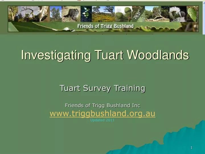
Investigating Tuart Woodlands. Tuart Survey Training Friends of Trigg Bushland Inc www.triggbushland.org.au Updated 2011. Introduction. Survey to provide detailed record of Tuart status for baseline purposes Complement earlier work by Tuart Response Group and the Tuart Atlas

E N D
Investigating Tuart Woodlands Tuart Survey Training Friends of Trigg Bushland Inc www.triggbushland.org.au Updated 2011
Introduction • Survey to provide detailed record of Tuart status for baseline purposes • Complement earlier work by Tuart Response Group and the Tuart Atlas • Assistance from City of Stirling and DEC and THRG/Centre of Excellence for Forest Health
What is Trigg Bushland? • A Class Reserve • Managed by the City of Stirling (Friends of Trigg Bushland act only as volunteers and can only make recommendations to the City of Stirling) • 144 hectares • Only urban bushland that reaches from the shoreline to forested dunes • Contains rare flora and areas classed as ‘pristine’
Scope of the survey (Trigg Bushland image courtesy of City of Stirling)
Topics for discussion • Purpose and methodology overview • Tools and measuring techniques • Recording the data • Ground rules • Progress to date
Purpose • To provide ‘baseline’ data for forest decline and/or regeneration • To ‘fill in the gaps’ of aerial surveys, eg, Tuart Atlas • To provide data for future management plans, eg fire control and ‘dieback’ management
Methodology • Volunteers walk a grid through each section of bush. • Each tuart is identified and photographed while a GPS is adjacent to the tree. • Details of the tuart and understorey are recorded on the data collection sheet. • The photographs and the GPS tracks are matched using OziExplorer and OziPhotoTool software. • All the data are combined into Excel Spreadsheet.
Topics for discussion • Purpose and methodology overview • Tools and measuring techniques • Recording the data • Ground rules • Progress to date
Tools you will need • Hand held GPS • Digital Camera • Clipboard • Recording Sheets and pen/pencil • Map with 10m grid marked • Measuring tape or scale on clipboard • Measuring stick for estimating tree height
GPS setup • Ensure satellite reception and check error – should be less than 5 metres. • Take photograph of GPS showing current date and time before beginning. Note: if this is not done, all data collected will be invalid. • Ensure GPS is set to correct datum (WGS 84) and measurement is in metres – ask for assistance.
Some tips • Ensure GPS has fresh batteries • Turn on GPS at beginning of survey and leave it on, ensuring it is not obscured • Make sure GPS is next to the tree being photographed, holding it flat so that the antenna has ‘free sky’ • Photo and GPS point are linked by the time stamp so the quality and aesthetics of the photo are not important • Plan your track so that extraneous points are minimized
What is wrong? • Hand is over the antenna zone • GPS should be horizontal
Measured features & techniques • Tree height • Tree diameter • Number of trunks • Growth Stage • Tree health • Canopy density • Understorey disturbance • Weed invasion and major species
Tree diameter • Measure diameter of largest trunk directly or • Use soft tape for circumference and divide by pi • Take measurement 1.5m above ground level
Number of trunks • Count all trunks coming from ground • Record number of dead trunks in comments This is an example of a tuart with extensive fire damage, four trunks, one of which (far right) is dead,
Example: Healthy growth from burnt stump, This is an example of a tuart with some fire damage, four trunks, two of which are dead. You can see mature healthy leaves.
Growth stage • Seedling – juvenile leaf, soft wood • Juvenile - adult leaf, soft wood • Mature – adult leaf, hard wood • Regrowth – juvenile leaf, hard wood
Juvenile leaf – heart shaped Mature leaf – sickle shaped
Tree health • Healthy • Stressed • Dead
Measuring canopy density • Estimate in increments of 10% • Provides indication of health status • Affects plant and animal populations in understorey
An example to show how you can estimate the density by looking at a small area.After Compton (1962)
Understorey disturbance • Estimate using scale of low, moderate or high • Note extent of weed invasion • Identify major weeds – you will receive assistance and learn the major weeds that are likely to be present. • Note physical disturbance, eg, earthworks, pathways, rubbish
Topics for discussion • Purpose and methodology overview • Tools and measuring techniques • Recording the data • Ground rules • Progress to date
Recording data • Use actual measurement or scaled estimate wherever possible. • Use metric measurements with unit of measurement as specified on data collection sheet (eg height in metres, diameter in centimetres) • Estimates should be agreed between team members (or averaged where there is disagreement)
Topics for Discussion • Purpose and methodology overview • Tools and measuring techniques • Recording the data • Ground rules • Progress to date
Safety Ground Rules • Stay in teams. • Know where you are. • Have a mobile phone. • Wear long pants and stout shoes. (School clothing is not appropriate as it may be damaged.) • Wear a hat and glasses or sunglasses. • Do not try to go too fast. The bush can be dense and difficult to get through. Avoid hurting yourself by moving slowly.
Ground Rules: Key Points to take away • It is important to make clear records – data must be written neatly and be accurate • Dress and act in a manner that will ensure your safety • Although it is good fun, tuart mapping is a scientific exercise and attention must be kept to the task at hand.
Topics for Discussion • Purpose and methodology overview • Tools and measuring techniques • Recording the data • Ground rules • Progress to date
Duart Arnott progress: • Data collection complete • Data entry and validation complete • Data submitted to DEC and Tuart Health Research Group (Murdoch/DEC) Tuart recording sites in Duart-Arnott
King Albert progress: • Data collection not yet complete • Data entry and validation in progress
Elliot progress: • Data collection commenced
St Mary’s progress: • Data collection commenced
The end – - thank you !