Download
1 / 43
430 likes | 500 Views
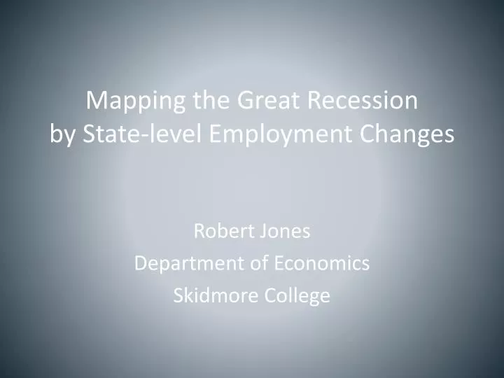
Mapping the Great Recession by State-level Employment Changes. Robert Jones Department of Economics Skidmore College. The First Law of Geography. The First Law of Geography (Waldo Tobler ) "Everything is related to everything else, but near things are more related than distant things .“

E N D
Mapping the Great Recessionby State-level Employment Changes Robert Jones Department of Economics Skidmore College
The First Law of Geography • The First Law of Geography (Waldo Tobler) • "Everything is related to everything else, but near things are more related than distant things.“ • This presentation applies this law to percentage changes in employment during the recession 2007-2010 • Watch the following slides for similarities among nearby states
National employment declines for the first month in this recession
Recession now has a strong hold in the southwest and southeast
Recession deepens in the originating states of the sw and se
Two areas of the country are now experience sharp declines in employment of between 5 and 14 percent (at annual rates)
Significant employment declines in every state for the first time in this recession
Employment declines begin to slow down in some the last states to enter the recession. Employment still declines in many of the first states to experience declines
The previous maps capture the dynamics of the month-to-month percentage changes in employmentSeveral attempts have been madeto cluster states into regions using a single map.The following slides illustrate attempts to describe regions of the US on a single map.
Census Bureau RegionsCreated 9 regions in 1880’s along state boundaries
Federal Reserve DistrictsCreated 12 regions in 1913 based on banking relationships(along county lines grouped here by state)
Bureau of Economic AnalysisCreated 8 regions in 1950’s based on trends in per capita income in the 1929 to 1950 period
Malezia and KeCreated 11 regions in 1993 based on economic analysis of metropolitan areas
Crone RegionsTed Crone (FRB of Philadelphia) in 2005 created 8 regionsbased on coincident economic indicator of states cycles since the 1970’s
JonesCreated 7 economic regions based on Unemployment Rates from 1979 to the 2006 cyclical peaks
Mathematical Method for Creating Regions • Based on a modified version of Crone’s methodology • Use Excel or similar software • Create matrix of contiguous states • “1” if contiguous • “0” if not contiguous • Insert variables to be mapped • In columns by state • Export as .csv file for statistical software • e.g., STATA • See example on following slide
Table of Data to be Mappedand Matrix of Contiguous States (0/1)
“Cluster Analysis” in STATA • Same as “Factor Analysis” in some software • Different from ArcGIS’ “Cluster Analysis” • Decide on number of regions to create • e.g., 4, 5, 6, 7, etc. • STATA command file to create 4 regions: • insheet using "D:\States_empl\geog1.csv", comma • cluster kmeansazarca co ctde dc flga id il in_ iaksky la me md ma mi mnmsmomt ne nvnhnj nm nyncnd oh ok or pa riscsdtntxutvtvawawvwiwy gr0710, k(4) name(reg0710) • outsheet using "D:\States_empl\geog1_reg4.csv", comma • Creates an output file (.csv) with a optimal regions into which to dissolve the state.
ArcMap • Join the STATA-created .csv file to a shape file of the states • Dissolve the states into the region numbers found using STATA • Map the resulting regions
Great Recession Employment ChangesUsing Statistical Software The regional map of the 2007 to 2010 recession based on statistical software explicitly takes into account the first law of geography
Great Recession Employment ChangesUsing Natural Breaks The regional map of the 2007-2010 recession using only GIS ignores the first law of geography.
Conclusions • Creating economic regions from state-level data results in different regional clusters depending on the time span or time period and the economic variables being considered • Using purely GIS classifications ignore the first rule of geography by ignoring nearness • Using statistical software including variables for nearness incorporates the first law of geography • Future research • Including month-to-month data over many time periods using statistical software may enable a single map to capture the regional nature of the dynamics of economic change
The Great Recession Employment Change 2007 to 2010Two geographic views of the recession’s impact Thank you