Download
1 / 10
100 likes | 185 Views
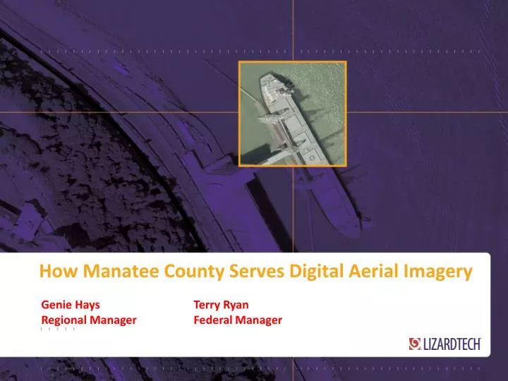
How Manatee County Serves Digital Aerial Imagery. Genie Hays Terry Ryan Regional Manager Federal Manager. Overview. Manatee County Overview Problem: Imagery Distribution & Management Amount of Imagery Cost of storage/distribution Time spent on installation/management

E N D
How Manatee County Serves Digital Aerial Imagery Genie Hays Terry Ryan Regional Manager Federal Manager
Overview • Manatee County Overview • Problem: Imagery Distribution & Management • Amount of Imagery • Cost of storage/distribution • Time spent on installation/management • Lower Budgets • Solution: • Q&A
Hardware & Workflow Dilemmas • Amount of Imagery • 1.3 to 5TB’s of Raw Data. • No server space for the imagery (pyramids, caching, etc.). More than 80% unavailable. • wanted to deliver full investment of data for 2003, 2007-2012, with 5 more years projected in the pipeline.
Hardware & Workflow Dilemmas • Cost of Storage/Distribution • Server space for imagery alone an estimated $30,000+and were still unable to deliver their full repository of data. • $250,000 -$300,00 increase in Server investment and licenses to deliver full repository. • Not able todeliver data to 3rd party applications: AutoCAD, Microstation, ERDAS, Flash, etc.
Hardware & Workflow Dilemmas • Time Spent on Installation/Management • Took 3 weeks for each County year to load (2003,2007-12). • Took months to load all data, with no guarantee when loaded it would work. • With current setup, they could only deliver ONE year data online. • Lower Budgets • 10% decrease in the Property Appraisers budget for 2012. 147 Days to load imagery into other storage solutions.
Solution • Store compressed imagery as MrSID/Jpeg2000 files. • Visually lossless with a 20:1 compression ratio. • Kept imagery in a FLAT FILE system. • Delivery service to ESRI products and other 3rd party applications via open source OGC WMS (Web Mapping Service). • Used LizardTech’s Express Server to accomplish cost savings and delivery needs.
Solution Benefits • Gained 1:20 reduction of cost to Server space. • Estimated savings to licenses & storage cost, $30,000-$50,000. • Can delivery 5X’s the amount of imagery. • Allows growth at a much smaller cost • All 3rd Party applications can read streaming of Imagery, Plug & Play • Installation and setup was cut down to ONE DAY, saving weeks of staff time. • Saved $$$$
Manatee County Web Image Service WMS: http://www.mymanatee.org/lizardtech/iserv/ows? Property Appraiser Site: http://www.mymanatee.org/gisapps/mapviewer/index.jsp?type=propertyappraiser Aerial Download Tool: http://www.mymanatee.org/gisapps/mapviewer/index.jsp?type=aerialdownload