Download
1 / 16
160 likes | 300 Views
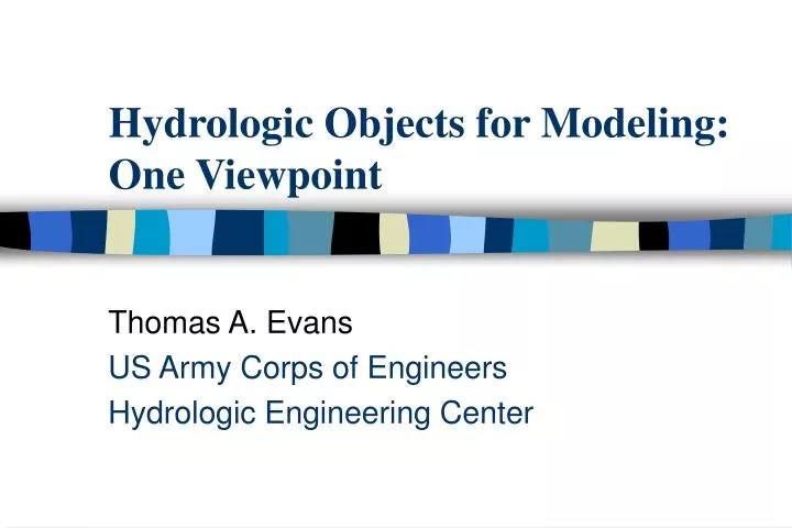
Hydrologic Objects for Modeling: One Viewpoint. Thomas A. Evans US Army Corps of Engineers Hydrologic Engineering Center. What is HEC?. The Hydrologic Engineering Center (HEC) is an office of the US Army Corps of Engineers established to support the nation in its

E N D
Hydrologic Objects for Modeling: One Viewpoint Thomas A. Evans US Army Corps of Engineers Hydrologic Engineering Center
What is HEC? The Hydrologic Engineering Center (HEC) is an office of the US Army Corps of Engineers established to support the nation in its water resources management responsibilities by increasing the Corps’s technical capability in hydrologic engineering and water resources planning and management. By means of programs in research, training, planning analysis, and technical assistance, HEC incorporates state-of-the-art procedures and techniques into manuals and comprehensive computer programs. The products are developed for the Corps; however, they are available to the public.
Hydrologic and Hydraulic Models from HEC • HEC-1 Flood Hydrograph model–now superceded by HEC-HMS (Hydrologic Modeling System) • HEC-2 River Hydraulics model–now superceded by HEC-RAS (River Analysis System)
HEC-HMS Basin Element Class • Element ID & Description (strings) • Location (2D coordinate pair) • Contributing Area (real number) • Downstream Element (basin element) • Upstream Elements (list of basin elements) • Observed Hydrograph (time series) • Output Hydrograph (time series) • others...
Basin Element Subclasses • Sub-basin • Rainfall/Runoff method • Loss Method • Baseflow Method • Routing reach • Downstream Location • Routing method
Basin Element Subclasses • Reservoir • Storage/Discharge method • Diversion • Second Downstream element • Junction • Source • Sink
What do basin elements do? • [Combine inputs to single Time Series] • Transform input Time Series into output Time Series (two output TS for diversion) • Example: a subbasin convolves input hyetograph with unit hydrograph to produce direct runoff hydrograph • Geographic data represented as connections and coefficients in transformation equations
Why is HEC Interested in GIS? • Description of the physical environment is primary source of simulation parameters • GIS and CADD systems are best methods for storage, distribution, and transformation of environmental data • GIS is a powerful tool for communication • GIS is a step toward more sophisticated modeling methods
Pre-Existing Complications • Roots of HEC models (e.g. HEC-1, HEC-2) predate current GIS technology • HEC needs to support non-GIS users • HEC will not create dependencies on commercial and proprietary products (except MS Windows ) in its core products
Pre-Processor/Post-Processor Approach • Keep models and GIS separate • Avoid dependencies on proprietary products • Permit use of models without GIS • Identify model parameters and data with GIS sources • Define and publish data import and export methods for models • Develop example GIS applications
Abstraction of Watershed Data • Description • Directly observable: elevation, soil characteristics land cover, drainage elements • Aggregation • Basin, reach definitions: characteristics still tied to observable phenomena • Parameterization • Mathematical description of limited behavior: coefficients in equations tied to specific methods
HEC-HMS and GIS GIS Hydrologic Model DEM, NHD, HUC, STATSGO, Land Use Raw GIS Data Rainfall Grids or Time Series GeoHMS: Basin Definition Watershed & River Topology or Watersheds Stream Network Basin Components HEC-HMS Hydrologic Model Parameters GeoHMS: Model Parameterization
Possible Relationships between Arc Hydrology Objects & Basin Elements • Basin Element represented as component of corresponding Hydrology Object • Basin Elements and Hydrology Objects represent each other as interfaces • Transformation between Hydrology Objects and Basin Elements handled by processes external to both