Download
1 / 24
250 likes | 349 Views
About the advantages of vertically adaptive coordinates in numerical models of stratified shelf seas . Hans Burchard 1 , Ulf Gräwe 1 , Richard Hofmeister 2 , Peter Holtermann 1 , Inga Hense 3 and Jean-Marie Beckers 4 1. Leibniz Institute for Baltic Sea Research Warnemünde , Germany

E N D
About the advantages of vertically adaptive coordinates in numerical models of stratified shelf seas Hans Burchard1, Ulf Gräwe1, Richard Hofmeister2, Peter Holtermann1, Inga Hense3and Jean-Marie Beckers4 1. Leibniz Institute for Baltic Sea Research Warnemünde, Germany 2. Helmholtz-ZentrumGeesthacht, Institute for Coastal Research, Germany 3. ClimaCampus, University of Hamburg, Germany 4. GHER, University of Liege, Belgium
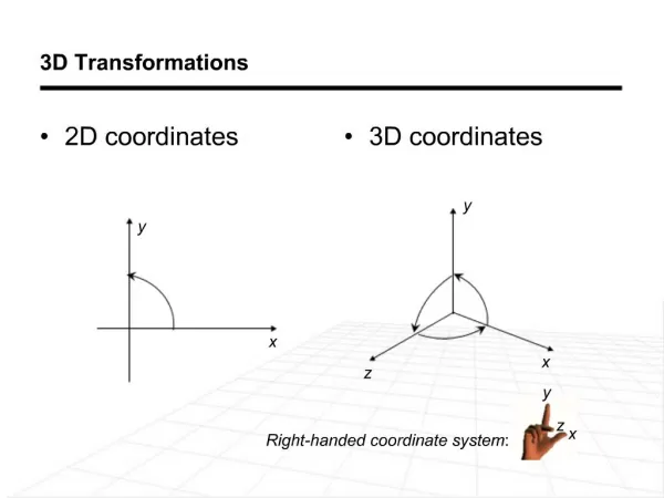
The North Sea – Baltic Seasystem: A modellingchallenge Seasonalstratification Permanent stratification Strong tides Denseinflows
North Sea: exampleforseasonalstratification Scanfishtransectfrom BSH at 58°N (July 2010)
North Sea: examplefordenseinflow Kriegers Flak Sweden 16.11.2005 Umlauf et al. (2007)
Transport pathways in the Baltic Sea Reissmann et al. (2009)
Sigma coordinateproblem Inflows Pressuregradientproblemofsigmacoordinates
Geopotential coordinateproblem (bottom) Inflows Inflowapproximationproblemof geopotential coordinates
Geopotential coordinateproblem (surface) Geopotential coordinatestypicallyhavecoarsenear-surfaceresolution. Additionally, bothcoordinatetypessharetheproblemofnumericalmixing.
Whatismixing ? Salinityequation (no horizontal turbulent transport): Salinityvarianceequation: ? Mixing isdissipationoftracervariance. Numericalmixing due totraceradvectioncanbecalculated. Burchard andRennau (2008)
Fixedcoordinateproblem (movingisopycnals) Sufficientverticalresolutioncannotbeobtainedwithfixedcoordinates. Isopycnalcoordinateswould fix thispart, but causeproblems in mixedlayers.
Early model withvertically adaptive coordinates: HYCOM Bleck et al. (2004)
Adaptive vertical gridsin GETM Horizontal direction z hor. filteringof layer heights Vertical zooming of layer interfaces towards: a) Stratification b) Shear c) surface/ bottom hor. filteringof vertical position Lagrangiantendency Vertical direction isopycnaltendency Solution of a verticaldiffusionequation forthecoordinateposition bottom Burchard & Beckers (2004); Hofmeister, Burchard & Beckers (2010a)
Adaptive verticalcoordinates alongtransect in 600 m Western Baltic Sea model Gräwe et al. (in prep.)
1 nm Baltic Sea model with adaptive coordinates - refinement partially towards isopycnal coordinates - reduced numerical mixing - reduced pressure gradient errors - still allowing flow along the bottom Observations November 2003 salinity Feistel et al., 2004 temperature km Hofmeister, Beckers & Burchard (2011)
Channelled gravitycurrent in Bornholm Channel sigma-coordinates - stronger stratification with adaptive coordinates- larger core of g.c. - salinity transport increased by 25% - interface jet along the coordinates adaptive coordinates Hofmeister, Beckers & Burchard (2011)
Gotland Sea time series • 3d baroclinic simulation • 50 adaptive layers vs. 50 sigma layers num. : turb. mixing 80% : 20% num. : turb. mixing 50% : 50% Hofmeister, Beckers & Burchard (2011)
Grid adaptation in Central Baltic Sea Holtermann et al. (in prep.)
Grid adaptation in Central Baltic Sea Holtermann et al. (in prep.)
Grid adaptation in Central Baltic Sea (additional adaptation to injected tracer) Holtermann et al. (in prep.)
Northern North Sea with sigma coordinates Gräwe et al. (in prep.)
Northern North Sea with adaptive coordinates Gräwe et al. (in prep.)
Physical and numerical T-mixing in Northern North Sea Gräwe et al. (in prep.)
Conclusions In stratifiedflowsimulations, thenumericallyinducedmixingmay beofthe same order orevenmuch larger thanthephysicalmixing. Vertical coordinate adaptation leads to optimised model resolution in a way that its additional computational effort is strongly overcompensated by the gain in accuracy. Vertical coordinate adaptation can also be applied to biogeochemical properties or other tracers (in addition to u & T & S). The vertically adaptive coordinates are so far implemented into GETM, but implementation into any other ocean model using general vertical coordinates should be straight forward. Advantages of vertically adaptive coordinates are substantial for shelf sea simulations, but also large scale simulations should profit from this concept.