Download
1 / 13
130 likes | 138 Views
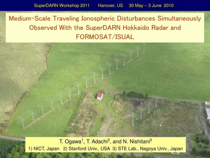
SuperDARN Workshop 2011 Hanover, US 30 May – 3 June 2010. Medium-Scale Traveling Ionospheric Disturbances Simultaneously Observed With the SuperDARN Hokkaido Radar and FORMOSAT/ISUAL. T. Ogawa 1 , T. Adachi 2 , and N. Nishitani 3

E N D
SuperDARN Workshop 2011 Hanover, US 30 May – 3 June 2010 Medium-Scale Traveling Ionospheric Disturbances Simultaneously Observed With the SuperDARN Hokkaido Radar and FORMOSAT/ISUAL T. Ogawa1, T. Adachi2, and N. Nishitani3 1) NICT, Japan 2) Stanford Univ., USA 3) STE Lab., Nagoya Univ., Japan
FORMOSAT-2 ISUAL 630-nm Limb Imager ・ SuperDARN Hokkaido HF Radar Imaging of horizontal two-dimensional MSTID structures over the Sea of Okhotsk from the north of Hokkaido to Kamchatka ・ FORMSAT-2 / ISUAL 630-nm Limb Imager Imaging of two-dimensional 630-nm airglow structures in the vertical along satellite path ISUAL (Imager for Sprites : Upper Atmospheric Lightning) ・ Using the ISUAL imager and ground-based all-sky imager at Darwin, Adachi et al. (2011) first clarified three-dimensional 630-nm airglow structures. ・ In this presentation, we use the Hokkaido radar, ISUAL limb imager, and GPS-TEC data to investigate propagation and three-dimensional structure of MSTID.
ISUAL 630-nm Limb Imager (h ~ 900 km) SuperDARN Hokkaido Radar ~1,200 Rxs MSTID GEONET Providing GPS-TEC Data Over Japan Rikubetsu (43.53oN, 143.61oE; geomag. 36.46oN)
Long-Distance Propagation of Nighttime MSTID (HF Radar + GPS + 630-nm Imager) (Ogawa et al., 2009) Winter Night Summer Night ~5000 km ~6000 km
Range Res. = 45 km, Time Res. = 1 min 20 December 2006 GPS-TEC Map at 1520 UT 1520 UT
1520 UT 10.8 MHz 1522:29 B0 B15 HF FOV 20 Dec 2006 Kp = 4-, 4- Dst = -26 (disturbed) 1456:49 Satellite Track Limb Obs. 1456 UT 1522 UT Range Res. = 45 km Time Res. = 1 min
B8 630-nm Deviation 1516 UT 1519 UT 1522 UT 20 December 2006 Echo Power N-S wavelengths of ~100 - 500 km DopplerVelocity MSTID observed with radar and GEONET Velocity : ~90 m/s toward SW Period: ~50 min Wavelengths : ~270 - 500 km Beam 8
Range Res. = 15 km, Time Res. = 1 min 29 December 2008 GPS-TEC Map at 1325 UT 1325 UT
1325 UT 10.8 MHz 1332:35 B0 HF FOV B15 29 Dec 2008 Kp = 0, 0+ (very quiet) 1304:34 Limb Obs. 1304 UT Satellite Track 1332 UT Faint MSTID Range Res. = 15 km, Time Res. = 1 min
Echoes return from strong horizontal gradients of Ne? 1322 UT 1325 UT 1329 UT 1332 UT 29 December 2008 B5 N-S wavelength of ~ 500 km EchoPower Small-scale structures with wavelengths of a few tens to 100 km Doppler Velocity MSTID structures are unclear compared with those on 20 and 21 December 2006 Wavelength : ~500 km Beam 5
Strong radar echoes tend to have negative Doppler velocities ? Winter Nighttime MSTID (Ogawa et al., 2009)
Limb-view Obs. FORMOSAT-2 / ISUAL 630-nm (Ne) Vertical Structure Seen by ISUAL Limb-view Obs. MSTID The ISUAL imager cannot always clarify discrete MSTID structures when its field-of-view is not aligned with phase fronts of MSTID, in particular, in the case of 29 Dec. 2008 SW N E MSTID Altitude Latitude
Summary ・On 20 and 21 December 2006 (geomagnetically disturbed days), the Hokkaido HF radar detected southwestward-propagating MSTID with phase velocities of ~80-90 m/s, a period of ~50 min, and wavelengths of ~200-500 km. The ISUAL limb imager simultaneously observed airglow structures along N-S with horizontal wavelengths of ~100-500 km that were also seen in the radar data, though the imager FOVs were ~ 1000 km (or more) west of the radar FOV. ・On 29 December 2008 (geomagnetically quiet day),the imager FOVs were within the radar FOV. Though MSTID signatures were rather faint, MSTID with a wavelength of ~500 km were observed with both the radar and imager. Both instruments also detected small-scale structures with wavelengths of a few tens to 100 km embedded within MSTID. Strong radar echoes tend to have negative Doppler velocities. ・Thus, MSTID signatures observed with the radar seem to correspond to those detected with the ISUAL imager, though the imager cannot always clarify discrete MSTID structures when its FOV is not aligned with phase fronts of MSTID. ・ More simultaneous observations are required to investigate spatial relationship between radar (radio wave) and imager (optical) MSTID, and to know those between Ne irregularities and 630-nm airglow structures.