Download
1 / 22
220 likes | 329 Views
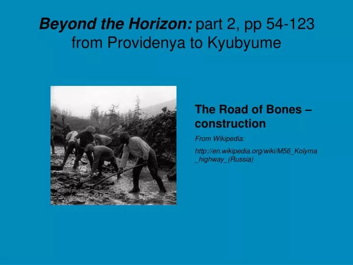
Beyond the Horizon: part 2, pp 54-123 from Providenya to Kyubyume. The Road of Bones – construction From Wikipedia: http://en.wikipedia.org/wiki/M56_Kolyma_highway_(Russia). Soviet Union, 1989. Current Map of Russia. Map of Russia.

E N D
Beyond the Horizon: part 2, pp 54-123from Providenya to Kyubyume The Road of Bones – construction From Wikipedia: http://en.wikipedia.org/wiki/M56_Kolyma_highway_(Russia)
Current Map of Russia Map of Russia http://www.worldatlas.com/webimage/countrys/asia/rularge.htm
Russia: a brief description • Russia, the world's largest country, obviously defies a "brief description," as it covers 11 time zones, all climate zones except tropical, with land that stretches almost halfway around the planet. In fact, by jet from Moscow, it takes about 8 hours to reach Vladivostok on its Pacific Ocean coast. If you were to take that trip on the Trans-Siberian Railroad, count on your journey taking four days minimum. Russia has over 1,000 major cities, with 16 having a metro population of more than one million. The most populated cities are Moscow, St. Petersburg, Nizhny Novgorod, Novosibirsk and Yekaterinburg. Moscow, the capital, with over 12 million (metro) residents, is the country's major economic and political center - the seat of the President, the government and the State Duma. The Russian landmass west of the Ural Mountains (shown above in a slightly darker shade of green) is referred to as European Russia by most educational atlases and geography experts. It is not a separate country, but rather called that because of its political, cultural and geographical blendings with Europe. Historically, the land called Russia was occupied by Mongols, and the likes, for centuries. In the early 17th century, the 300 year control of the Romanov family began, and it was Czar Peter I that really began the transformation of the Russian Empire. After the reign of Queen Catherine II, it emerged as an influential and powerful European force. This flexible and durable giant somehow survived decades of political uprisings; a bloody civil war, one led by Vladimir Lenin; its participation in World Wars I and II; the tragic oppression of Joseph Stalin, Communism and a long succession of ideological, often brutal, leaders. In 1991, the USSR (Union of Soviet Socialist Republics) dissolved, and when that union ended, Russia itself and its former republics all became separate countries. Today, this super-sized country is led by President Vladimir V. Putin, as he attempts to manage this massive slice of real estate, as well as maintain positive relationships with both Asian, European and Western powers. • http://www.worldatlas.com/webimage/countrys/asia/rularge.htm
Provideniya, Chutkotka Province, Russia – 64.5 degrees north- The town of 1,900 is at the end of a fjord
Provideniya, Russia Chukotka Province
Chukotka • Chukotka was historically the land of the Chukchi who throughout the ages herded reindeer across the tundra. The Chukchi people, descendants if ancient paleosiberian tribes, are believed by anthropologists to have crossed the Bering Strait, 25,000 years ago, and settled in North America. • After a difficult time during the communist era, when entire native populations were moved to larger city, native people have resettled in their original communities and make up about ten percent of the population of Chukotka: Chukchi (11,924), Eskimo (1,425), Even (1,356), Chuvantsi (944) and Yukagir (100). • Most Chukchi live in villages across Chukotka. Their major activity is still reindeer herding although some of them live off the rich marine resources. Native Chukchi is still spoken, but almost every one knows Russian. There is some assimilation and trade with smaller Eskimo villages. • The Eskimo population makes their living as marine mammal hunters and fishermen. They generally live in mixed communities with Russians, Ukrainians and Chukchi. Most Eskimos speak a Siberian language, similar to that spoken by Eskimos living on St Lawrence Island. • From: http://www.traveleastrussia.com/provideniya.html
Provideniya • Provideniya is situated on a picturesque bay surrounded by mountains. The city was founded in the late 1930's as the eastern terminus for the northern sea route, the passage along the arctic cost of Siberia, kept open by icebreakers that supplied cities on the mouth of the Lena and Kolyma Rivers. It is the former Soviet administrative and military center of Chukotka. • Along with its sister city, Nome, Alaska, Provideniya was particularly important during WWII when aircraft and supplies reached Europe via Alaska and Siberia during lend-lease. The city is isolated, only accessible by air and water. • In the past six years, the population of Provideniya has decreased significantly. Now whole apartment blocks are empty and the city offers a somewhat forlorn sight. Shores along the Emma bay support Bering type flora and habitat for large bird colonies. • From: http://www.traveleastrussia.com/provideniya.html
From Provideniya, they shipped their winter gear by boat to Anadyr, 850km away. In Provideniya, they met their guide Yulya from Irkutsk, 5000km away, a city along their path.
Hiking Through Chutkotka:Only 19,000km of the Eurasian Continent LeftThe picture on the right was taken by Tim Harvey
Hiking Through Chutkotka:Colin, Tim and Yulya weren’t quite alone
Egvekinot, Chutkotka Province, Russia650km from Provideniya, 200km to Anadyr
Colin’s “side trip” to Anadyr • Top: Anadyr • Bottom: a Soviet-built Tupolev TU-154 airplane, the kind that took Colin to Moscow, then home to Canada • No more only-human-powered travel for three months
Back to Egvekinot • Egvekinot looked like the top photo when they stopped • By the February 7, when they resumed their trek after Colin’s surgery, it looked like the bottom photo • Minus 45 degrees, with a windchill of minus 100 degrees
Egvekinot to Ust Nera • Travelling inland through Chutkotka was only possible with a supply truck • Top: a diesel 6-wheel Ural truck like the one used in the book • Often, they travelled along frozen rivers such as this one, the Kolyma
Ust-Nera http://wikimapia.org/1196677/Ust-039-Nera
Ust Nera: along the “Road of Bones”- pictured in the winter and summer below
Ust Nera, Yakutia Province, Russia- they even have a pamphlet for tourists!
Ust Nera to Yakutsk- Colin, Tim and Yulya meet some “friends” at a bridge camp
Kyubyume, Yakutia Province, Russia6 days from Ust Nera:Colin splits from Tim and Yulya