Download
1 / 22
220 likes | 336 Views
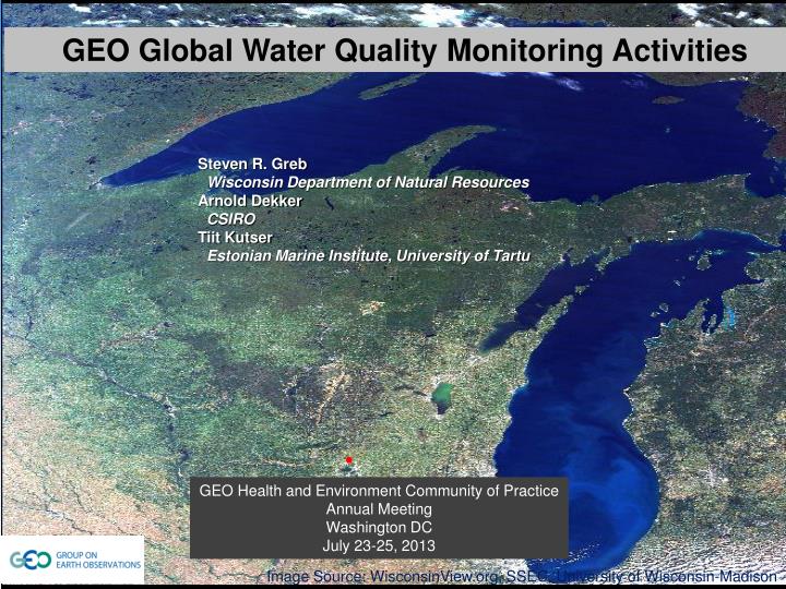
GEO Global Water Quality Monitoring Activities. Steven R. Greb Wisconsin Department of Natural Resources Arnold Dekker CSIRO Tiit Kutser Estonian Marine Institute, University of Tartu. GEO Health and Environment Community of Practice Annual Meeting Washington DC July 23-25, 2013.

E N D
GEO Global Water Quality Monitoring Activities Steven R. Greb Wisconsin Department of Natural Resources Arnold Dekker CSIRO Tiit Kutser Estonian Marine Institute, University of Tartu GEO Health and Environment Community of Practice Annual Meeting Washington DC July 23-25, 2013 Image Source: WisconsinView.org, SSEC, University of Wisconsin-Madison
GEO Inland and Coastal Water Quality Working Group 2012-15 WA-01: Water Task Work Plan C1 Integrated Water-cycle Products and Services C2 Information Systems for Hydro-meteorological Extremes (incl. Floods and Droughts) C3 Information Service for Cold Regions C4 Global Water Quality Products and Services C5 Information System Development and Capacity Building
C4 Global Water Quality Products and Services The goal of this component is to develop an international operational water quality information systems based on Earth observation This component will integrate water quality data from multiple sources in a timely manner and through data assimilation of Earth observations with other sources of data such as water quantity, hydrodynamics, biogeochemical modelling, generate higher level information products such as trends and anomalies and additional “value-added” products such as fluxes and flows This component encompasses both the collation and development of in-situ water quality databases and remote-sensed data, particularly space-borne data. The component addresses both flowing and static water bodies, recognizes differing approaches to assessing their water quality and the linkages/interface between them. Lakes Mendota & Monona -University of Wisconsin SSEC image
Knowledge/ Decision Making Tools Products/ Indicators Data Information Task Coordination Feedback Fast Track End-to-End application C4 Global Water Quality Products and Services Develop 2012-15 Work Plan
Five key areas of GEO Water Quality Working Group Inland and Coastal Water Quality working group Research Consultation Education & CB Advocacy Applications Image courtesy of NASA Goddard Image courtesy of Maryland Sea Grant
Funded by ESA, Coordinated by Brockmann Assoc. The ultimate goal of the Diversity II Project is to support the implementation of the new 2011-2020 biodiversity strategic plan of the Convention of Biological Diversity. The specific Objectives of the Diversity II Project are to provide for selected key parameters, status maps, associated change maps, status indicators and trend indicators. These key parameters for inland waters are availability of freshwater and quality of freshwater, reflected in its water constituents such as chlorophyll-a and/ or suspended matter concentration, as well as by its temperature. The products shall be provided on a global scale by producing results for at least 300 large perennial inland waters and covering a time range from 2002 to 2012.
Global Lakes Sentinel Services • EU R&D Project, 3 years, 2013-15 • Objectives • Setting up a system to handle the enormous amount of Sentinel 2 • and Sentinel 3 data • Generation and distribution of lake water quality products (globally) • Key challenges • Algorithms, SIOPs, AC including adjacency effects, HAB, data mining • Data Volumes- suitable IT Infrastructure • S2 1 TB/day (L1), S3 2 TB/day (L1+L2) • Coordinator: Steef Peters, Water Insight NL • SYKE(Fi), EOMAP (D), Free Uni. Amst. (NL), BC (D), • CNR(I), Tartu Obs. (EE), BG(S)
Project Coordinator- Andrew Tyler, University of Stirling, Centre for Ecology • and Hydrology, University of Dundee, University of Edinburgh, University of Glasgow, • Plymouth Marine Lab. • 5 -year duration (2012-2017) • Objectives • Investigate state of the lakes • Lake response to climate variables • Generate time series of water quality and surface temperature • Link to catchment landuse and meteorological forcing data • Work Program • Large In situ component • Focuses on MERIS archives and potential Sentinel 3 • Linkage to ecosystem modeling
The Global Lake Temperature Collaboration (GLTC) began in the fall of 2010 to assemble an international group of investigators with interest in and access to global lake temperature records (both in situ and satellite-based). • The GLTC has over 50 investigators • Held a workshop in 2012 to bring together all international project participants in a common location to: • share data • examine patterns and trends • perform comparative analysis • compile a global lake temperature database • publish results from the GLTC project. • Coordinator- John Lenters, University of Nebraska USA
Project Questions • What are the global and regional patterns of lake warming (or cooling) over the past several decades, and are they concordant across space and time? • What climatic and geographic factors control these patterns (e.g., air temperature, solar radiation, latitude, elevation, lake area, lake depth)? • How do inferences from in situ records compare with those from satellite data (e.g., mean values, trends, interannual variability)? • Do trends in lake surface temperature mimic those in deeper waters, and what does this imply for vertical mixing and stratification? • What are the ecological consequences of the observed changes in lake temperature?
Draft Strategy Report text Remote Sensing of Near Coastal and Inland Water Workshop NASA ROSES 2011 E.2 Topical Workshops, Symposia, and Conferences Colleen Mouw (University of Wisconsin) co-chair Steven Greb (Wisconsin Dept. Natural Resources) co-chair Paul DiGiacomo (NOAA NESDIS) Simon Hook (NASA JPL) Chuanmin Hu (University of South Florida), ZhongPing Lee (University of Massachusetts-Boston) Ru Morrison (University of New Hampshire)
Integration schematic of the four fundamental elements of satellite remote sensing
Coincident with the technological advances……………… Education programs and capacity building through new demonstration project initiatives need to be promoted. This important recommendation emphasizes the need for strong linkages between the entities that produce the data and the end users. This relationship will ultimately determine the success of these tools for future water resource management
Monitoring Water Quality in Lake Nicaragua by Satellite Remote Sensing An IEEE Water for the World Demonstration Project Report completed Dec. 2012 Project Manager: Steven R. Greb, Wisconsin Department of Natural Resources Cooperators: Katherine Vammen, Assistant Director Centro para la Investigación de Recursos Acuáticos (CIRA), Nicaragua. Colleen Mouw, University of Wisconsin, Madison Space Science and Engineering Center
Current and New Initiatives for 2013-2014 • Webinar Series • COST Proposal (Tiit K.) • IOCCG working group • Develop linkages and new initiatives with GEO-Health SBA
Current and New Initiatives for 2013-2014 • Webinar Series • COST Proposal (Tiit K.) • IOCCG working group • Develop linkages and new initiatives with GEO-Health SBA • Water Borne Diseases • Harmful Algal Blooms