Download
1 / 6
60 likes | 66 Views
This study explores the synoptic and mesoscale processes associated with a severe lake-effect snowband that impacted Buffalo, NY in November 2014. The impacts of the snowband, including fatalities and infrastructure damage, raise questions about the factors that made this event so extreme. Gridded data, soundings, and diagnostic products were used to analyze the synoptic environment and mesoscale features. The study suggests that factors such as surface-850 hPa temperature difference, high inversion, persistent flow, and strong convergence contributed to the extreme nature of the snowband.

E N D
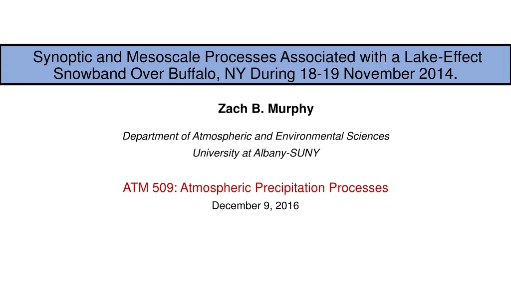
Synoptic and Mesoscale Processes Associated with a Lake-Effect Snowband Over Buffalo, NY During 18-19 November 2014. Zach B. Murphy Department of Atmospheric and Environmental Sciences University at Albany-SUNY ATM 509: Atmospheric Precipitation Processes December 9, 2016
Motivation • During 18-19 November 2014, southeastern suburbs of Buffalo experienced extensive snow. -Cheektowaga, NY: 65 inches of snow -Lancaster, NY: 63 inches. • The impacts of this persistent snowband led to: -Thirteen fatalities. -Hundreds of collapsed roofs. -Food/utilities shortages. -Interstates and highways closed. • The impacts cause the question to be raised: What (if anything) made this event so extreme?
Data and Methodology • Gridded Data: -GFS 1.0 x 1.0 gridded data (for upper-level synoptic overview). -NCEP-NCAR Reanalysis I (for standardized anomalies). • KBUF Soundings (from University of Wyoming) • Products: -SPC Lake Effect Diagnostic Products -Lake temperature map (NOAA CoastWatch) • Times: 1200 UTC November 17, November 18, November 19
Synoptic Environment 1200 UTC 18 Nov. 250-hpa wind speeds (cool fills, every 10 m s-1), 300-200 hPa PV (gray, every 1 PVU),300-200 hPairrotational wind (vectors) 600-400 hPa ascent (red, every 1 hPa s-1, Precipitable water (gray fills, every 5 mm). 850-hPa temperature (black lines, contoured every 5 K), and standardized anomalies (fills, every 0.5 ).
Mesoscale Environment 1200 UTC 18 Nov. Great Lakes temperatures. (courtesy of NOAA CoastWatch). Skew-T/Log-P Diagram at KBUF (courtesy of University of Wyoming). Streamlines, boundary-layer winds, 850-hPa winds, and mesoscale convergence. (courtesy SPC).
Summary • North Pacific convection from TC Nuri and other extra-tropical cyclones heavily influenced downstream environment by diabatically perturbing the waveguide. • This allowed a potent Arctic outbreak to overrun the Great Lakes. • The extreme nature of this event was governed by the persistence of the ingredients needed for lake-effect snow. -Considerable surface-850 hPa temperature difference (28 degrees!). -High inversion. -persistent west-southwesterly flow along the long axis of Lake Erie. -Strong convergence at the northeast shore in the boundary layer.