Download
1 / 17
170 likes | 177 Views
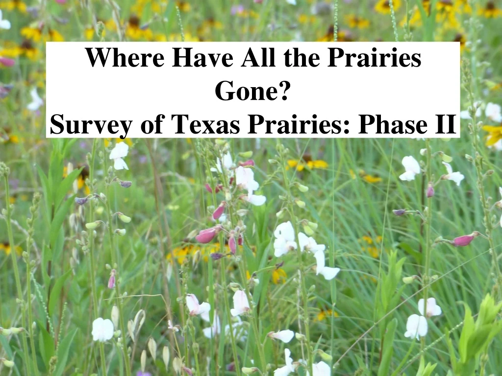
Where Have All the Prairies Gone? Survey of Texas Prairies: Phase II. Native Prairie Association of Texas Description of Remnant Surveys 2009 – 2011 Funding Primarily from TPWD. Original Counties (8) Surveyed 2009-2011 in Houston Area. How First Statewide Prairie Surveys Were Done 2009 - 2011.

E N D
Where Have All the Prairies Gone?Survey of Texas Prairies: Phase II
Native Prairie Association of TexasDescription of Remnant Surveys2009 – 2011Funding Primarily from TPWD
How First Statewide Prairie Surveys Were Done 2009 - 2011 • Contracted with Surveyors for Selected Counties • Followed a Set of Protocols Developed by NPAT & TPWD • Surveyed Sites in 95 Counties & Provided Data Reports & Maps to NPAT & TPWD • Funded by TPWD, Meadows Foundation & Houston Endowment
Limitations of First Surveys • Limited Time to Conduct Surveys • No training provided • Surveys often had to be conducted in less productive months • Skills of surveyors varied greatly • Urban areas more challenging
Proposal: New Remnant Surveys 2016-2018 • Done by Trained Chapter Volunteers • Volunteers work as teams or individuals on assigned Counties • Protocols include more site details & species lists with checklist for data and maps using Google earth • More focus on owner contact and exploration of possible protection for prairie sites – Follow-up required • Find sites missed in original surveys & re-survey known prairie sites to provide better descriptions and current status • Provide much more complete list of fauna & flora of each site including pollinators • Recommend sites for restoration, seed collection or pollinator habitat if not for protection and conservation
Training for Mapping Project • In field practice using the data collection form • Training on plant identification of indicator species, invasive species and prairie remnant identification provided • How to Use Google Maps and other on-line mapping programs to locate potential sites and create maps with polygons and GPS • Training on using inaturalist and other technology • Training on how to contact owners, information to give them on conservation potential, and follow-up
Counties to be Surveyed in Houston Area Prairie Mapping Project: Phase II
Why Chapter Volunteersas Prairie Seekers? • Acquire skills through field & class training to do prairie remnant surveys • Learn plant & pollinator identification • Help add to the body of knowledge of what is left and the ecology of these sites • Improve awareness of prairie heritage and provide opportunities for conservation • Develop into future restoration teams to work with city and county agencies on maintaining lands as prairie sites
is a place where you can record what you see in nature, meet other nature lovers, and learn about the natural world.
Training in Identification of Native Prairie Indicators and How to Use for Site Evaluation(Most Important Native Prairie Indicators are Decreaser Native Grasses and Indicator Forbs)
Training for Owner Contact:How too get information from appraisal district – most districts have maps and all have value of the property and if it has an easement How to ask locally for information from owners and neighborsHow to ask for permission to do a field survey evaluationHow to provide information on conservation options to landownersHow to request permission for conservation activities
Training Dates • All Day Training for data collection, in field identification, finding sites using google earth • and using inaturalist • March 12th, 2016 - Saturday • March 6th, 2016 – Sunday • Evening Training – How to contact, talk to owners and provide information and follow up • March 15th, Tuesday and March 16th, Wednesday
What Information Surveys Can Provide: • Current Condition of Land, The Owner & Appraised Value • What the major threats to remnants are • Look for opportunities for conservation like plant rescues, seed collecting, field trips • History of the site • Species Composition of a site • Information on Pollinators and Potential for Pollinator Support • Potential for Conservation of the Site
Identify which sites are privately owned and which are owned by land trusts or state/federal agencies and which have a potential for conservation as easements for fee simple purchase
Preserve Our Native Heritage Sites Find Models for RestorationProvide Information for Education & Research