Download
1 / 16
160 likes | 162 Views
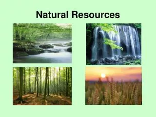
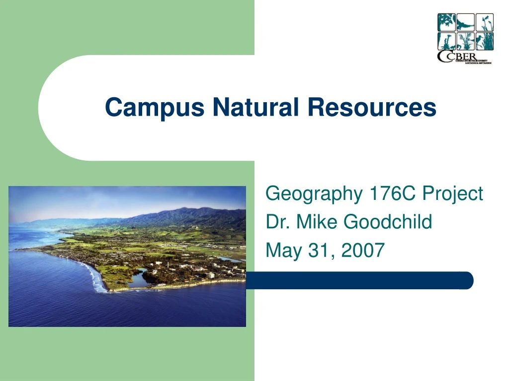
Campus Natural Resources. Geography 176C Project Dr. Mike Goodchild May 31, 2007. Objectives. “…to build a personal geodatabase spatially detailing the restoration activities of CCBER”

E N D
Campus Natural Resources Geography 176C Project Dr. Mike Goodchild May 31, 2007
Objectives • “…to build a personal geodatabase spatially detailing the restoration activities of CCBER” • “…make spatial decisions concerning restoration management and monitoring protocol, as well as providing an overall measure of success” • “…a tool for CCBER outreach in terms of educating the public and obtaining the necessary funding for future and ongoing restoration activities”
Methods • Georegistering • Building a Geodatabase • Digitizing • Data Management • Field Data Collection • Acquisition • Merging • Groundtruthing • Working with CCBER staff
Roadblocks • Scale • Volume of Data • Entry • Collection • Geodatabase built in 9.2 • Data Storage and Transferring • Vegetation Classification Algorithm • Spatial Analyst Reads 1 Band of Color • Remote Sensing Issue • Division and Delegation of Workload
Results • Geodatabase with a framework for organizing CCBER spatial data • A living dataset containing comprehensive spatial data on the Lagoon Island and Manzanita Village at a scale appropriate for micro-managing restoration projects • Model for project continuation on other restoration sites
Impact • Transitioning CCBER from cognitive maps to real, visual data • Increasing the efficiency and accuracy of communication and decision making within CCBER • Aide in CCBER restoration management, outreach, and education
Project Evaluation • Model for CCBER spatial database successfully developed • Lagoon Island and Manzanita Village dataset populated with data that has already been utilized by CCBER for restoration management and outreach • Failed to develop an algorithm for vegetation classification; digitizing used as an alternative • Geodatabase not fully populated with data, but framework exists from which it can be completed