Download
1 / 22
220 likes | 341 Views
State of Tennessee and Enterprise GIS Activities Oak Ridge National Lab February 26, 2008. Dennis Pedersen, Director, OIR-GIS Services. GIS Services Overview. Tennessee Base Mapping Program GIS Coordination Enterprise GIS Services Tennessee Regional Information Center.

E N D
State of Tennessee and Enterprise GIS ActivitiesOak Ridge National LabFebruary 26, 2008 Dennis Pedersen, Director, OIR-GIS Services
GIS Services Overview • Tennessee Base Mapping Program • GIS Coordination • Enterprise GIS Services • Tennessee Regional Information Center
GIS Services Background • 8 full time staff • 4 dedicated to GIS data dev/maint • 4 dedicated to GIS application dev, training, enterprise support • Funding from legislature, contracts with local, State, federal agencies • Building partnerships
Base Topography Flood Data + + = DFIRM TNBMP – DFIRM
GIS Collaboration/Coordination • Local Government • State Agencies • Emergency Communications Board • Economic and Community Development • Federal Programs • DHS/FEMA – Flood Map Modernization • Census – TIGER Modernization • USGS – Local Res. NHD
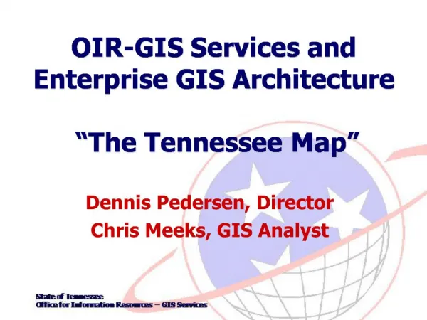
“The Tennessee Map (TNMap)” • Geo-portal • Base Map Data Repository • Shared GIS infrastructure for application hosting • Access: Public, State GIS users
The Tennessee Map (TNMap): Enterprise GIS Architecture • Concepts: • Develop E-GIS Infrastructure • Make data more useful, accessible and secure • Initiatives • Enterprise Geospatial Data Repository • GIS Data Inventory and Data Stewardship • TN Geospatial Data Sharing Standards • Enterprise Services and Geospatial Applications • Geospatial Standards (software, metadata)
TNMap: Server Architecture • Consolidated server environment at Data Center • 6+ servers for production environment • Internet and Intranet application hosting environments • Dedicated and centralized Geospatial database
State Enterprise GIS TNMap (Intranet) Agency Agency Agency Agency Agency Local Public Enterprise GIS Agency Enterprise GIS TNMap (Internet) Federal Public Agency publishes data once. Data can be shared/utilized many times. And can be accessed via the Web by many other users.
Spatial Data Across Agencies Child Care / Schools / Hospital locations Environmental / Conservation features City / County / Admin. Boundaries (OIR GIS) Streets / Rivers / Land Features (OIR GIS) Property Boundaries (OIR GIS) Imagery / Elevation (OIR GIS)
Federal State Local GIS Trends: Top Down Approach Level of Government Function Map Scale Requirements Program Coordination Data Developer, Steward/Maintenance Small (1:100K, 1:250K) Federal Data Consumer Medium (1:24K, 1:4800) Large (1:4800, 1:1200) Federal Data Consumer
Federal State Local GIS Trends: Bottom Up Approach Level of Government Function Map Scale Requirements Coordination Standards Funding State/Local Data Consumers Small (1:100K, 1:250K) Program Management Data Dev/Admin. Local Data Aggregators and Consumers Medium (1:24K, 1:4800) Large (1:4800, 1:1200) Data Development Data Maintenance Data Users
TNMap Enterprise GIS • Conclusions: • TNMap is in Production!! • Working towards improving quality/quantity of data • New agency “Shared Services” projects / development • Data Maintenance / Data Aggregation (Bottom Up!) • “Create it once…use it many times…and maintain it” • TNMap and Tennessee Regional Information Center