Download
1 / 14
150 likes | 290 Views
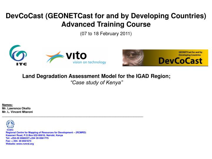
DevCoCast (GEONETCast for and by Developing Countries) Advanced Training Course (07 to 18 February 2011). Land Degradation Assessment Model for the IGAD Region; “Case study of Kenya”. Names: Mr. Lawrence Okello Mr. L. Vincent Mtaroni

E N D
DevCoCast (GEONETCast for and by Developing Countries) Advanced Training Course (07 to 18 February 2011) Land Degradation Assessment Model for the IGAD Region; “Case study of Kenya” Names: Mr. Lawrence Okello Mr. L. Vincent Mtaroni _______________________________________________________________________________________ RCMRD Regional Centre for Mapping of Resources for Development – (RCMRD) Kasarani Road, P.O.Box 632-00618; Nairobi, Kenya Tel: +254-20 8560227/+254 20 8561775 Fax: + 254- 20 8561673 Website: www.rcmrd.org
Contents: • Objective/ Relevance of the Exercise • Methodology: • Data type and Source • Data from GeonetCast • Data Processing • Comparative output • Conclusion
Relevance of the Exercise • To come up with a model that assists in assessing and monitoring potential areas on the ground susceptible to land. • Make use of available environmental multi-temporal satellite data streaming through GeonetCast/ DevCocast and open source ILWIS-Geonetwork processing functionalities. • Support policy decisions for combating land degradation at regional level and to give a frame for specific areas study which is experiencing severe degradation.
Inputs to the Model • Adopted Model (R)USLE • Note: Equation (in ton/ha/yr) • The equation is presented in the form • A = R x K x L x S x C x P • A is the spatial average soil loss in t/ha·yr • R is the rainfall runoff erosivity factor in MJ.mm/ha·h·yr • K is the soil erodibility factor in t/ha per unit R • L is the slope length factor • S is the steepness factor • C is the cover management factor • P is the support practice factor
Processing Processing Intermediate Products Processing Input Data Processed Data Final Products Rainfall Depth Rainfall Erosivity Rainfall Intensity Population Numbers Population Density Potential Land Degradation Index Soil Texture Soil Water Holding Capacity Soil Erodibility Soil Stoniness Actual Land Degradation Index Slope Steepness Slope-LS factor Slope Length Vegetation Type-Land Use Classes Land Use-GlobCover Vegetation Index Vegetation Quality-NDVI NDVI (MODIS) Flow Diagram
GeonetCast Data Utilised: • MSG MPE daily precipitation summation - Analysed per decadal to correspond with NDVI observation period
Conclusion: • GeonetCast Data /Products and Geonetcast tool box under ILWIS are vital for analysing regional Land Degradation conditions given that they are freely disseminated and accessible to all. • This a major step towards understanding and aiding decision making in land conservation measures across the region.