Download
1 / 21
210 likes | 215 Views
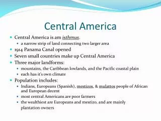
This technical assistance project aims to integrate statistical and geospatial information in Central America, building upon the efforts of various organizations such as PAIGH, UNSD, UN-GGIM, and ECLAC. The project objectives include gathering participants and knowledge, identifying problems and priorities, building coalitions and raising awareness, and developing plans and reports.

E N D
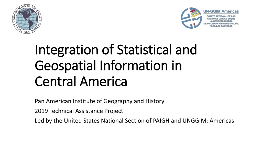
Integration of Statistical and Geospatial Information in Central America Pan American Institute of Geography and History 2019 Technical Assistance Project Led by the United States National Section of PAIGH and UNGGIM: Americas
Project Purpose To integrate statistical and geospatial information in Central America, building upon the efforts of the: • Pan American Institute of Geography and History (PAIGH) • United Nations Statistics Division (UNSD) • United Nations Committee of Experts on Global Geospatial Information Management (UN-GGIM) • UN-GGIM: Americas • Economic Commission for Latin America and the Caribbean (ECLAC)
Why is data integration important? • Increasing knowledge sharing nationally and regionally • Building relationships that continue collaboration beyond the project timeline • Encouraging innovation for data analyses and visualization • Informing decision makers
Project Objectives GATHER PARTICIPANTS AND KNOWLEDGE IDENTIFY PROBLEMS, PRIORITIES, & INNOVATIVE INTEGRATION METHODS COALITION AND AWARENESS BUILDING DEVELOP PLANS AND REPORTS
Executive Partners and Collaborators $13,205 PAIGH UN-GGIM: Americas ECLAC The Center for Geographic Information (CNIG) of the National Geographic Institute (NGI) of Spain 10/23/2018
Project Phases and Schedule PHASE II PHASE IV PHASE III • Publish the results and products • Conduct informational workshop • Conduct technical workshop Proposed • PHASE I • Gather information • Identify statistical & geospatial capacity • Questionnaire • Set date of informational workshop (phase II or III) • Meet with participants at international conferences/meetings • Create geographic crosswalk between each Central American country, U.S., and Mexico • Create plan for 2020 integration • Publish results and products Revised January – March 2019 April – June 2019 October – December 2019 July – September 2019
Phases 1 and 2 Status Questionnaire Quarterly Report
Survey Responses Total Responses Countries Organizations 24 10 16
What types of data does your organization currently collect?
Is your organization currently integrating geospatial and statistical data?
2020 Technical Project proposal Update geographic crosswalk Continue coalition building Determine topics for 2020 integration Future steps
What is one problem/issue that your organization would like to see addressed as part of this project?
Deirdre Dalpiaz Bishop President United States National Section of PAIGH deirdre.dalpiaz.bishop@census.gov (301) 763.1696 Paloma MerodioGómez Presidente UN-GGIM: Américas paloma.merodio@inegi.org.mx (52) 5278.1000 ext. 1557