Download
1 / 31
310 likes | 314 Views
This study explores the impacts of natural shoreline features on water levels and sediments, highlighting the benefits of ecosystem-based coastal defense as a sustainable and cost-effective alternative to traditional engineering. The study examines the effects of restoration at different scales and locations, considering factors such as connectivity, ecosystem services, flood risk management, wildlife and fisheries, water quality, and navigation.

E N D
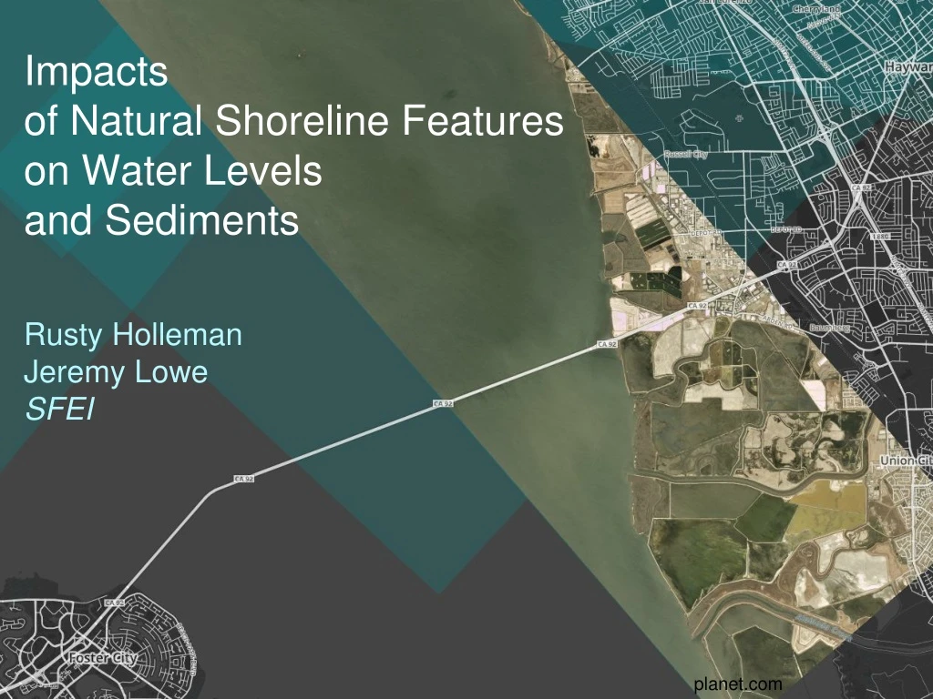
Impacts of Natural Shoreline Features on Water Levelsand Sediments Rusty Holleman Jeremy Lowe SFEI planet.com
Ecosystem-based Coastal Defense Flood protection by ecosystem creation and restoration can provide a more sustainable, cost-effective and ecologically sound alternative to conventional coastal engineering. Temmerman et al, 2013 2016 1987 Muzzi Marsh, Corte Madera
Restoration, Shape and Physical Processes Shape Intertidal area Average depth Friction Plan shape Hydrodynamics Wave energy Currents Tidal water level Restoration Scale Location Connectivity Ecosystem Services Flood risk management Wildlife / Fisheries Water quality Navigation
Breaching vs Bank Retreat • Intertidal area and conveyance • Breaching • Breaching increases the tidal prism of an estuary and gross intertidal area, but without any compensatory increase in the cross-sectional area of the main channel. • Estuarine channel is forced to increase its cross-sectional area by erosion in order to accommodate the increase in flow demanded by the restored site. • Bank Retreat • Entire flood embankment is removed • Restored intertidal area forms an integral part of the estuary, thus avoiding or minimizing channel enlargement by erosion.
Small, Medium or Large The rest of the talk: restorations at three scales Within-wetland attenuation100-1000m Ebb/flood asymmetry, sediment transport1km-10km Along-estuary attenuation10-100km After Temmerman,2013
1. Within-Wetland Attenuation • Intuitive: mudflat, wetlands, marsh attenuate waves • Attenuation is a function of wetland properties: - area- elevation- vegetation Built Natural
Bay Example: Corte Madera Wave Attenuation in Corte MaderaJessie Lacy, Daniel Hoover, USGS 53% 70% 100% 45% 34% Lacy & Hoover, 2011
Bay opportunity Hayward Shoreline Multiple marshes, currently sitting behind Bay-facing levees
2. Sediment and Flood-Ebb Asymmetry In general, the flood tide is deeper than the ebb tide, and tides propagate faster in deep water This effect, as well as the ratio of shallow to deep areas, and the frictional characteristics of the system, lead to distortions of the tidal wave. Restorations can alter all of these parameters Coarse sediments: dominated by the phase with higher velocity Fine sediments: dominated by when slack is long enough for settling
Estuarine Response to Sea Level Rise: Conceptual Model High water Low water High water Low water
An Example: Simulated changes in tides at Calaveras Point under 1m SLR Restorations increase ebb velocity Restorations reduce ebb duration Restorations make phase more progressive
3. Along-estuary Attenuation “Funnel”-shaped estuaries naturally amplify tidal range, i.e. South Bay Mudflatsand wetlands have two roles: • Introduce friction, slows and weakens tides and surge • Increase flood/surge storage, decreasing water levels up-estuary With sea level rise, today’s intertidal may be tomorrow’s subtidal • SLR Areas get deeper Loss of frictional effects After Temmerman 2013
Study in SF Bay 1.0 m sea level rise, consider two cases: A:Existing levees allowed to overtop → Max high water rises by 10% less than sea level rise B: No overtopping, i.e. levees raised to maintain today’s shoreline → Max high water rises by 5% more than sea level rise • All vs none comparison • New areas become tidal only by overtopping (no new breaches)
Location, Location, ... The same size restoration can have different effects depending on location. Can be a tradeoff of effect size and effect location.
5 0 -5 -10 -15 Middle -20 Inner City of Hull -25 Outer -30 0 20 40 60 80 100 120 140 Water level response to 300 haintertidal restoration Change water level (cm) Distance from mouth (km)
Smolders et al, 2015 Considerationsfor Scaleand Placement Can learn from virtually removing wetlands, too. Scheldt Estuary (Belgium, Netherlands) Existing 7400 acre marsh Compared with and without marsh • Adding 3000 ha(7400 acres, or 9% of estuary area) • water levels -15 cm (-3% tidal range)Effects mostly upstream Wetland
Natural landscape Built landscape Scales: small Large After Temmerman 2013
2. Flood-Ebb Asymmetry • flood dominantadjective 1.having a flood tide of longer duration than ebb tide2. (of hydrodynamics) tending to import sedimentantonyms: ebb dominant The asymmetry / dominance can be modified by restoration actions. Increase in intertidal storage, via levee realignment, increases the ebb dominance of an estuary. (Townend and Pethick, 2002) French (2008) performed a hydrodynamic study of the effects of estuarine intertidal wetland creation by managed retreat, focusing on the effects of increased intertidal area on increased tidal currents and discharges in the estuary.
The Aim... Usher estuaries towards a self-regulating state that meets our needs for • Flood Risk Management • Wildlife Support • Navigation • Water Quality • Fisheries
Management Issues • Realign in the: • outer estuary, increases water levels • inner estuary, decreases water levels • tidal rivers, has significant impact • Location and size are important
Potential Problems? Velocity increases Changes in net sediment transport Changing water levels Changing areas of erosion and deposition …or Opportunities
Management Issues • Ebb/flood asymmetry • intertidal elevation • subtidal depth • intertidal area
Considerations for Scale and Placement The location of new intertidal area alters the spatial extent and magnitude of benefits Gray: Naturally amplifying tides Red Restoration: Significant effect over greater length of estuary Blue Restoration: Greater effect of small length of estuary (but still some effect downstream) South Bay is naturally amplifying due to the converging shape
Original cross-section (my notes) Dronkers, 1986 – suggests that “stable” estuaries may not even exist, though variation in external forcing means that a stable setting for an estuary doesn’t exist, either.Tidal asymmetry has different effects on coarse vs fine, where coarse is affected more by velocity.Question: why is duration important, but not velocity flux? Claims that “saturation” seldom occurs, so as long as the currents aren’t slack, can pick stuff up and transport it.Dronkers use of tidal asymmetry includes asymmetry between currents, too. Page 3 –4 derivation is related to the period between dead-slack and currents exceeding u_erosion. A depth dependence of the settling time implies that a sloping bed (shallower landward) imports sediment. This import is partially offset by the effect of wind-wave resuspension in the shallows. Landward-decreasing velocities also import sediment. Side note: building walls instead of mudflats likely contributes to a clearing of the water column, which in SF Bay could drastically boost the phytoplankton. Dronkersin the book - Widen channel: Narrow shoals Shorter flood