Download
1 / 1
10 likes | 92 Views
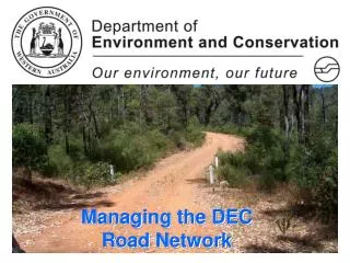
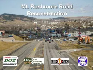
Managing the Environmental I mpacts of Road Reconstruction. Introduction Aurecon has been contracted by the Queensland Government through its agent, the Department of Transport and Main Roads (TMR) to provide environmental support in the Transport Network Reconstruction Program (TNRP).

E N D
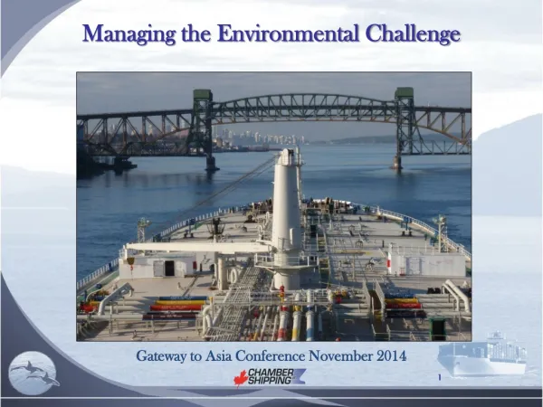
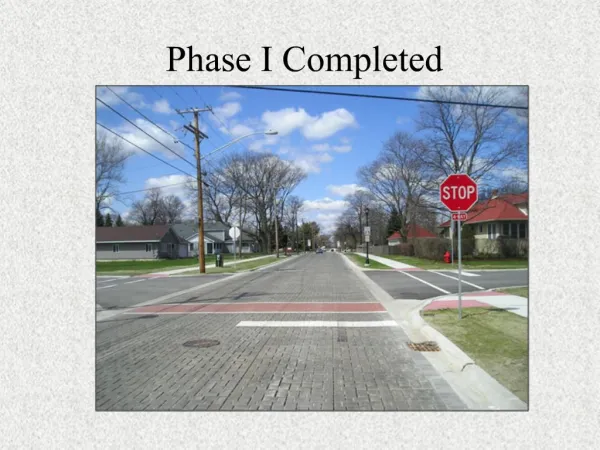
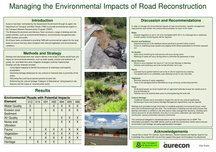
Managing the Environmental Impacts of Road Reconstruction Introduction Aurecon has been contracted by the Queensland Government through its agent, the Department of Transport and Main Roads (TMR) to provide environmental support in the Transport Network Reconstruction Program (TNRP). The Brisbane Environment and Advisory Team conducts a range of desktop and site based activities, such as environmental filtrations, environmental management plan (EMP) reviews and audits. All of these tasks contributed to providing TMR with environmental support for the road works to ensure that they were compliant with relevant legislation and environmental conditions. • Discussion and Recommendations • In order to manage the environmental impacts of road reconstruction, specific management requirements were written into contract documentation for each of the roads. • Water • Cleared vegetationor soil is not to be stockpiled within 50 m of a drainage line or waterway • A water quality monitoring plan will be required • Erosion and Sediment • Exposed areas are to be stabilised where practical to prevent further erosion • Focus on stabilising areas quickly and staging works where practicable to minimise exposed soil • Air Quality • Daily visual monitoring for dust plumes will occur during works • Watering of roads will occur during works to minimise the generation of dust • Noise/Vibration • Works to occur between the hours of 7 am to 5 pm Monday to Saturday • Vehicles and machinery are to be turned off when not in use • Fauna • Licensed fauna spotter/catchers are to be on site to supervise any clearing • The spotter/catch is to undertake a pre-clearing survey for any nest sites • Vegetation • Minimise clearing of native vegetation • Trees to be salvaged shall be identified as no-go zones by constructing barriers • Pests • All declaredweeds are to be treated with an approved herbicide at least two weeks prior to ground disturbance • Vehicles are to be washed down prior to entering/leaving the work site • Cultural Heritage • Traditional Ownersare to consulted to inspect the site for any cultural significance • Monitoring of work and Cultural Heritage Management Agreements may be required • Desktop work provided enough information to establish potential environmental issues, which were then confirmed through site visits. The combination of desktop and site work ensures that desktop information is verified on site and used to make management decisions. Desktop work cannot account for all site elements, thus why it is crucial to undertaken site visits both pre-construction, during construction and post-construction. • The contractual obligations mentioned above will be incorporated into an EMP. The information provided in the EMP will be used to audit the construction works and to ensure environment and heritage are being appropriately managed. • Methods and Strategy • Desktop and site based work was used to identify if the scope of works would have any impact on environmental elements, such as water quality, erosion and sediment, air quality, etc. and determine what mitigation strategies could be implemented. • Desktop and site methods included: • Using digital mapping to identify the presence of waterways and regional ecosystems • Searching heritage databases for any cultural or historical sites in proximity of the works • Recording flora and fauna species present at each site • Determining the cultural heritage “Category of Disturbance” rating based on site features and the scope of reconstruction works Results Acknowledgements I would like to thank Tim Colman, Quinn McIntyre, Rachel Hackettand Nathan Gale for the knowledge they shared with me and the support they gave me throughout my placement. Clair Evans