Download
1 / 16
160 likes | 177 Views
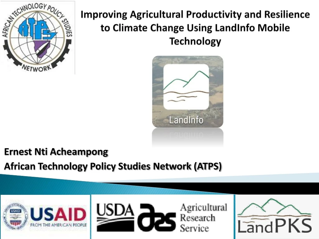
Improving Agricultural Productivity and Resilience to Climate Change Using LandInfo Mobile Technology. Ernest Nti Acheampong African Technology Policy Studies Network (ATPS). Presentation Outline. Background The Land-Potential Knowledge System Project LandInfo App

E N D
Improving Agricultural Productivity and Resilience to Climate Change Using LandInfo Mobile Technology Ernest Nti Acheampong African Technology Policy Studies Network (ATPS)
Presentation Outline • Background • The Land-Potential Knowledge System Project • LandInfo App • LandInfo as a statistical tool • Pilot - Kenya and Namibia
Agricultural Production and Land Management in Africa • Increase agricultural growth due to land expansion rather than increase productivity Rethink current land use mechanisms • Challenges: • rapidly growing population; land degradation; • soil erosion; declining soil fertility and • climate change • Available Land must • Produce more food and pasture • Maintain environmental quality and • Maintain the natural resources base
What is the Land-Potential Knowledge System? • A suite of integrated mobile apps • connected to cloud-based analytics and user-accessible cloud storage that allows users to: • access, • share and • interpretglobal knowledge and information relevant to the unique potential of a piece of land.
What is the LandInfo App? • The LandInfo App allows users to capture point-specific data about soil characteristics such as: • Soil water, • Soil texture • Climate factors such temperature, rainfall, • and growing season length
Land-Potential Knowledge System Land Potential Knowledge System (LandPKS)
Data Portal Home Screen External site pulls up map display of all plots in system User login – agree to data policy
Export LandInfo and LandCover Data Search by recorder name (email) or xport all plots in the system Metadata available as separate files Export as .csv file or data visualization in Google Shiny (R powered)
Data output as .csv file Includes all user-provided data, climate, soils, and topography predictions
Data Visualization in Google Shiny (R-powered) Basic graphical displays of monitoring indicators (bare ground, foliar cover, plant composition, gap %, species density)
Pilot Projects • Northern Rangelands Trust (NRT) and its associated Conservancies • Initial focus: identifying and prioritizing areas for restoration of perennial grassesand monitoring for livestock and wildlife • Ministry of Lands and Resettlement • Initial focus: improving understanding of livestock carrying capacity + crop production potential of resettlement areas. Kenya Namibia
Thank You!www.atpsnet.org http://landpotential.org