Download
1 / 31
310 likes | 422 Views
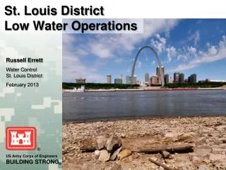
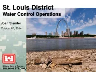
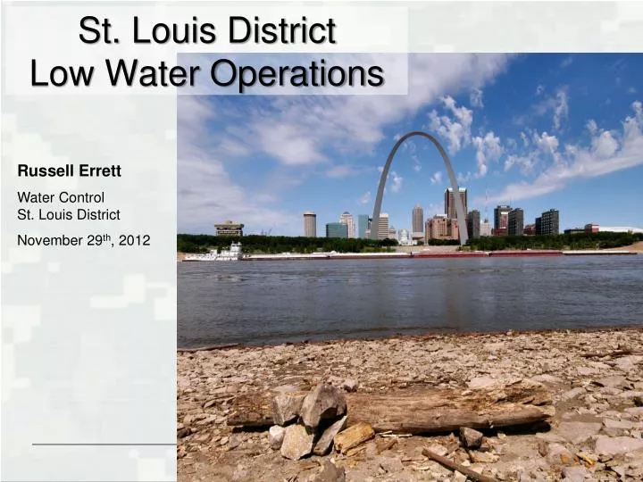
St. Louis District Low Water Operations. Russell Errett Water Control St. Louis District November 29 th , 2012. Overview. Historical Drought Overview Low Water Operations River Forecast Extended Drought & Weather Forecast. Historical Droughts. Top 10 Low Water Stages at St. Louis.

E N D
St. Louis DistrictLow Water Operations Russell Errett Water Control St. Louis District November 29th, 2012
Overview • Historical Drought Overview • Low Water Operations • River Forecast • Extended Drought & Weather Forecast
Historical Droughts Top 10 Low Water Stages at St. Louis -4.8 (JAN 1957) -4.6 (JAN 1956) -4.4 (JAN 2003) -4.3 (DEC 1933) -4.3 (JAN 1954) • -6.2 (JAN 1940) • -5.8 (JAN 1963) • -5.6 (JAN 1964) • -5.5 (DEC 1937) • -5.2 (DEC 1989)
Critical Link Illinois River 29-NOV ~ 6,000 cfs Mississippi River 29-NOV ~ 34,000 cfs Missouri River 29-NOV ~ 46,400 cfs Mississippi River @ St. Louis 29-NOV ~ 79,000 cfs Critical Link
Mel Price Low Water Operations • Approved Deviation to hold Mel Price 0.5 ft above maximum regulated pool • Minimize fluctuations downstream (i.e. St. Louis Harbor) • Extra storage is used to prevent low dips from L&D operations upstream • Extra storage can be used to provide a pulse of water to free grounded tows if needed
Mel Price Low Operations Actual W/O Mel Price Deviation Prevented St. Louis from dropping to -4.6 Avoided daily 1-2 ft fluctuations
Daily Record Lows • 1967 - 2012: 34 days • POR: 14 days • Record Low • 1967 - 2012: -5.2 ft (Dec 1989) • POR: -6.2 ft (Jan 1940) • Extended Forecast • Dec-Feb Low ~ -7.0 to -6.5 ft
Daily Record Lows • 1967 - 2012: 43 days • POR: 10 days • Record Low • 1967 - 2012: 1.3 ft (Dec 1989) • POR: -0.2 ft (Jan 1940) • Extended Forecast • Dec-Feb Low ~ -0.4 to 0.1 ft
Daily Record Lows • 1967 - 2012: 31 days • POR: 27 days • Record Low • 1967 - 2012: 0.9 ft (Dec 1989) • POR: 0.9 ft (Dec 1989) • Extended Forecast • Dec-Feb Low ~ -0.1 to 0.4 ft
Critical Stage ~ 2.0 ft Record Low 0.85' 12/28/1989
6-10 Day Outlooks Precipitation Temperature
8-14 Day Precipitation Outlook Precipitation Temperature
December Outlooks Precipitation (Average for St. Louis ~ 2.4”) Temperature (Average for St. Louis ~ 34.2˚)
December thru February Outlooks Precipitation (Average for St. Louis ~ 6.4”) Temperature (Average for St. Louis ~ 30.2˚)
Current Activities Dredging Industry Coordination
Rock Removal Information BriefRegulating Works Project (Civil Works) Information Brief
Problem Statement Based on the current National Weather Service forecast, low Mississippi River stages will impact the St. Louis Districts’ ability to maintain the navigation channel at authorized project dimensions, especially in the Thebes Reach (River Mile 46-41), in the mid-December 2012 timeframe. Pinnacle Rock Thebes Reach
Rock RemovalWhat are we trying to remove? N N MVS Mississippi River Grand Tower Thebes
Engineering Analysis Pinnacle Rock Impacts G A B C F D E 7 areas were identified within Thebes Reach, River Miles 46 – 41, as impacts to maintaining authorized channel dimensions
Engineering AnalysisPinnacle Rock Impacts at Thebes Reach U U M M St. Louis from -5.0 to -7.0 B A G C M F U D M E
Pinnacle Removal Path Forward • Regulating Works FY13 budget has funding to move forward with some priority locations (subject to contract award amount). • PDT priorities include 4 locations totaling approximately 850 cy. • Current coordination with RIAC have agreed to 12/12 work day. • Due to the low water and time of year, impacts to navigation will be minimized. • Coincides with scheduled closure at LD27 Main Lock for miter gate installation • All parties agree this is the right time to pursue • The Environmental Assessment and Biological Assessment are complete and valid based off our 2009 project • Efforts are focusing on the drill and blast method, a proven methodology. • The bedrock material strength is over 20,000 psi, ruling out other methods
Pinnacle Removal Path Forward (Cont). • Contract Status • At least 2 contractors interested • Pre-solicitation notice sent 5 November. • RFP out 30 November • . • Tentative contract award date is late January/early February. • Allows 60 days for rock removal work • The current Biological Opinion does not allow us to blast outside this window • Pallid Sturgeon spawning season • PDT is working with USFW for a potential variance • If all priority locations have been removed and resources still available, second level locations will be addressed subject to the availability of funds.