Download
1 / 25
250 likes | 395 Views
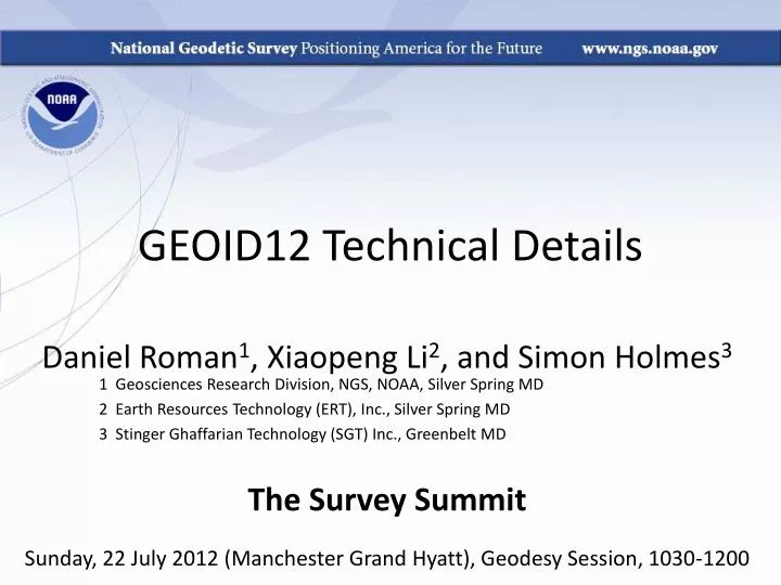
GEOID12 Technical Details. Daniel Roman 1 , Xiaopeng Li 2 , and Simon Holmes 3 1 Geosciences Research Division, NGS, NOAA, Silver Spring MD 2 Earth Resources Technology (ERT), Inc., Silver Spring MD 3 Stinger Ghaffarian Technology (SGT) Inc., Greenbelt MD The Survey Summit

E N D
GEOID12 Technical Details Daniel Roman1, Xiaopeng Li2, and Simon Holmes3 1 Geosciences Research Division, NGS, NOAA, Silver Spring MD 2 Earth Resources Technology (ERT), Inc., Silver Spring MD 3 Stinger Ghaffarian Technology (SGT) Inc., Greenbelt MD The Survey Summit Sunday, 22 July 2012 (Manchester Grand Hyatt), Geodesy Session, 1030-1200
Basic Concepts on Modeling • Start with a gravimetric geoid (USGG2012) • Use control data to fit to local datums • Appropriate versions of NAD 83 • Respective local Vertical Datum (if one exists) • Use LSC to determine correlated signal • For complex areas (e.g., CONUS), use MMLSC • Apply grid of correlated signal to USGG2012 • Results in GEOID12 with high frequency nature from USGG2012 but fit to local control
h h h h H h H H H N N N H N N Hybrid Geoid Height Models (e.g., GEOID12), Gravimetric Geoid Height Models (e.g., USGG2012) and Conversion Surfaces using GPS on BM data Earth’s Surface • Gravimetric Geoid systematic misfit to BM’s but best fits “true” heights • Hybrid Geoid“converted” to fit local BM’s, so best fits NAVD 88 heights • Conversion Surface model of systematic misfit derived from BM’s in IDB Ellipsoid Hybrid Geoid Gravimetric Geoid -0.737 M in Salt Lake – 2009 model
Control Data for GEOID12 Modeling * Supplemented by 574 (5 rejected) in Canada and 674 (70 rejected) in Mexico ** Supplemented by 88 (2 rejected) in Canada http://www.ngs.noaa.gov/GEOID/GEOID12/GPSonBM12.shtml
Rejections based on adjustment error (NA2011 => ‘h’ Reject code)
Rejections based on adjustment error (NA2011 => ‘h’ Reject code)
GEOID12 Error Map for Southwest Triangles showlocations of GPSBM2012 & OPUSDBBM12 control points. Error increases based on the size of the gap. Dense coverage yields < 1 cm. Errors will be provided with GEOID12 hts.
Inverse Distance Plot to Control Data (Interpolation Gap Magnitude)
Inverse Distance Plot to Control Data (Interpolation Gap Magnitude)
GEOID12 – GEOID03 Same Scale as 12-9
Summary • GEOID12 is complete for all regions • It converts between NAD 83 (**11) and the local vertical datum (NAVD 88 in CONUS) • Modeling is much the same as before (MMLSC) • Incorporation of data in Mexico and OPUSDBBm12 is new and has had an impact • Error maps will be available to provide estimated errors along with geoid heights
Questions? • Geoid Models Page: • http://www.ngs.noaa.gov/GEOID/ • GRAV-D Page: • http://www.ngs.noaa.gov/GRAV-D/ • Geoid Team: 301-713-3202 • Dan Roman (x161), Yan Wang (x127), Xiaopeng Li (x210)