Download
1 / 7
80 likes | 201 Views
The Pacific Northwest Regional Geospatial Information Council (PNW RGIC). Prepared for the FGC3 September 9, 2005 Vicki Lukas. Background.

E N D
The Pacific Northwest Regional Geospatial Information Council(PNW RGIC) Prepared for the FGC3 September 9, 2005 Vicki Lukas
Background • The Inter-organizational Resource Information Coordinating Council (IRICC) was established in 1995 to provide geospatial data support for natural resource management in WA, OR, and northern CA
Initiatives and Successes • Interagency Restoration Data Base • Interagency Vegetation Mapping—Forest vegetation Standards • PNW Hydro Clearinghouse • Supporting DLGs and 10m DEMs • Supporting Transportation Theme and stream survey standards • 5th/6th Field watershed boundaries delineation • First generation DOQs
Background • Needs/uses of geospatial data evolved: • Homeland security • Emergency Management • Other emerging issues • Federal agencies responsibilities include Idaho • Costs and volume of data, and need to collaborate on issues compel agencies to coordinate the cost-effective acquisition, development, use, exchange and management of geospatial data • This prompted a review of the original IRICC Charter and propose and resulted in an expanded scope
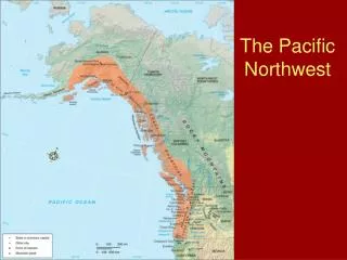
New Scope: PNW Regional GIC • Pacific Northwest (WA, ID, OR, northern CA) • Advice, guidance, and coordination of interagency geospatial and information management efforts • Recommendation & implementation of policy • Coordination, cost effective acquisition, development, use, standardization, and exchange of geospatial data • Communication and collaboration with PNW-RGIC agencies and other Regional and National organizations (NSDI) • In support of natural and cultural resources, economic development, and public safety
PNW RGIC Membership • Federal, State, & Tribal organizations represented by the Regional Interagency Executive Committee and Intergovernmental Advisory Committee per MOU • Participation and attendance encouraged and extended to all
Next Steps • Completing strategic planning process • In FY06 establish meeting schedule, locations and topics • Stay in communication with FGC3