Download
1 / 25
250 likes | 338 Views
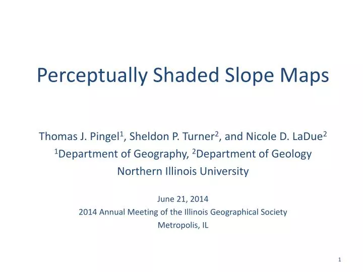
Perceptually Shaded Slope Maps. Thomas J. Pingel 1 , Sheldon P. Turner 2 , and Nicole D. LaDue 2 1 Department of Geography, 2 Department of Geology Northern Illinois University June 21, 2014 2014 Annual Meeting of the Illinois Geographical Society Metropolis, IL.

E N D
Perceptually Shaded Slope Maps Thomas J. Pingel1, Sheldon P. Turner2, and Nicole D. LaDue2 1Department of Geography, 2Department of Geology Northern Illinois University June 21, 2014 2014 Annual Meeting of the Illinois Geographical Society Metropolis, IL
How can we, in an automatable way, produce visualizations and images that assist in the interpretation, analysis, and understanding oflocal events?
LIDAR can be used to map the local environment relatively inexpensively, and at very high resolution. A Velodyne scanner mounted on a octocopter.
This is a LIDAR-derived Digital Surface Model (DSM) of UC Santa Barbara, represented in shaded relief.
Hillshaded images were developed to realistically portray the natural environment at relatively small map scales. Thelin and Pike’s (1991) shaded relief map of the United States.
More realistic images, like hillshades, do not always perform better than prepared cartographic products. They also do not translate to urban areas very well, where relief is typically low, and aspect is highly regular.
Kennelly and Stewart (2006) offer some methods that bring out immense detail in a DSM-derived LIDAR visualization.
But we know that realism is not always best for visualizations. We also need a straightforward way for GIS users to create visualizations with this data that are useful for a variety of purposes, not just more aesthetically pleasing.
PSSMs are based on the idea of “cognitive slope.”People exaggerate the vertical component of slope by a factor of 2.3x. (Pingel 2010, following Proffitt et al. 1995)
Perceptually Shaded Slope Maps (PSSMs) • Slope is exaggerated, then mapped to graytone • Resulting appearance looks hand-drawn, which speaks to its efficacy as a visualization • No spatial displacement errors common with orthophotos • Offers a higher contrast image than hillshade, with better affordance for color overlay • Most appropriate for mixed / urban environments • How do we assess performance? • Response time and accuracy in representative map use tasks.
Cartographica (in press) • 5 visualizations • hillshade, vertically exaggerated hillshade, hypsometric tint, orthophoto, and PSSM • 3 map tasks • Profile estimation task to test communication of relief (or intelligibilityof the image) • Two map rotation tasks to test saliency • 68 participants • Extra credit in introductory geography classes
Controlling Variability • 106 participants • More direct comparisons between PSSM and hillshade • Related tasks
Profile Estimation Both accuracy rates and response time paired t-tests t(105) > 2.94, p < 0.004, Cohen’s d = 0.25
Map Rotation Accuracy rates paired t-test t(105) > 3.05, p = 0.003, Cohen’s d = 0.25
Last year, we successfully used PSSMs in combination with our LIDAR filter SMRF to visually explore the forest floor of the ancient Maya site, El Pilar.
Last year, we successfully used PSSMs in combination with our LIDAR filter SMRF to visually explore the forest floor of the ancient Maya site, El Pilar.
Conclusions • The PSSM is empirically effective for visualization of LIDAR-derived DSMs • Automatically generated • Used in support of disaster relief and incident response • Easy to produce in any GIS software • Plug-in modules to come
Future Work • Data was also collected to analyze: • Sex • Previous geography experience • Ability on related tasks • Eye tracking studies to determine how visualizations are used • Test potential for overlay support
Acknowledgments • Illinois Geographical Society Research Grant • Ben Maloney, Graduate Research Assistant • Stacy Terlep, Undergraduate Research Assistant