Download
1 / 15
150 likes | 264 Views
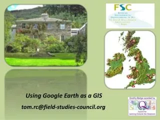
Center for Land use Education and Research. Importing Google Earth Data into a GIS. Jason Parent jason.parent@uconn.edu. Google Earth. Provides free access to a rich resource of satellite imagery and geographic data Excellent for visualization

E N D
Center for Land use Education and Research Importing Google Earth Data into a GIS Jason Parent jason.parent@uconn.edu
Google Earth • Provides free access to a rich resource of satellite imagery and geographic data • Excellent for visualization • On-screen digitizing capabilities allow mapping of features • Features can be saved as kml files • kml files cannot be directly loaded into a GIS
The “Convert KML to SHP” tool • Converts kml features to shapefile features • Names and descriptions of kml features are retained in the shapefile • Easy to use - run as a tool in ArcToolbox • Runs on ArcView 9.2 – no extensions required. • Works with kml files created by Google 4.2 • May not work with older versions
Right-click Creating features in Google Earth • Create a folder to contain the features Enter single line description
polygon name Select folder point line Creating features in Google Earth • Create feature in the appropriate folder description
Right-click Saving features to a KML file • Save the entire folder as a kml file (do not save as a kmz file) • Folder can contain more than one feature type.
Input kml file Feature type Output shapefile Running the “Convert KML to SHP” tool • Add toolbox to ArcToolbox
Google Polygons to Shapefile Shapefile is not projected
Using Google Earth Imagery in a GIS • Google Earth imagery cannot be downloaded. • Screen captures can be georeferenced and used in a GIS. • Reference points are needed to geo-reference a screen capture. • Features digitized in Google Earth can be used as references.
Downloads • The “Convert KML to SHP” tool, as well as other geospatial tools, can be downloaded through the Center for Land use Education and Research (CLEAR) website: • http://www.clear.uconn.edu/tools/geospatial/KML_to_SHP_ArcGIS.zip
Questions? Importing Google Earth Data into a GIS Jason Parent jason.parent@uconn.edu Center for Land use Education and Research