Download
1 / 20
300 likes | 594 Views
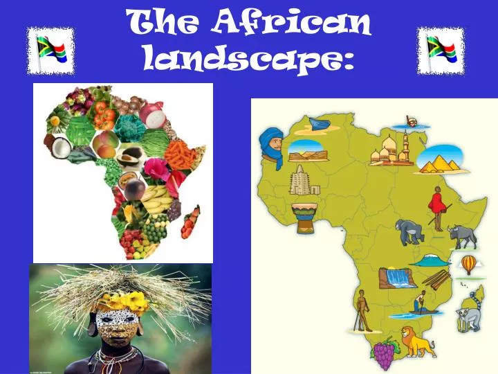
The African landscape: . North Africa: . North Africa:. Physical Features: . The Nile (union of Blue and White Nile) Silt deposits Aswan High Dam The Sinai Peninsula ( E.of Nile) Suez Canal between Sinai and Egypt - connects Red Sea to Med. The Sahara : world’s largest desert

E N D
North Africa: Physical Features: • The Nile (union of Blue and White Nile) • Silt deposits • Aswan High Dam • The Sinai Peninsula (E.of Nile) • Suez Canal between Sinai and Egypt - connects Red Sea to Med. • The Sahara: world’s largest desert • Sand dunes and dry streambeds • Atlas Mountains N.west side of Sahara (13,600 ft)
North Africa • Climate: • Resources: • 3 Main Climates: • Desert (136 deg. In Libya) • Mediterranean (mild) • Steppe (between Sahara and coast) • Oil & gas (Libya, Algeria & Egypt) • Moroccan mines iron ore & minerals • Sahara coal, oil, natural gas
West Africa: Physical Features: Climate & Vegetation 4 Different Climates: Desert- Sahara zone Sahel- strip of land that divides desert from wetter areas 2) Steppe – varied rainfall 3) Tropical Savanna 4) Humid Tropical • Plains & Highlands • Coastal plan has lots of cities • Interior plain people farm • Plateaus & cliffs in SW • Tibesti Mountains • The Niger River = most impt. Flows into interior of region bringing life giving water to W. Africa • Transportation and divides into channels swamps and lakes Resourcv
East Africa: Physical Features • The Rift Valleys- land arches and splits- volcanoes & thick rock • The Great Rift Valley – E & W up to 6,000 ft. high • Mt. Kilimanjaro- highest mtn, in Africa 19,340 ft. High • Ethiopian Highlands: rugged with deep River Valleys
Mt. Kilimanjaro, Kenya http://my.hrw.com/ss2/ss06_07_08/student/flash/wgeaf_m5enf_phL2/assets/video.html
East Africa Rivers & Lakes Climate & Vegetation: Some areas cooler climate further from Equator drier and suffer from drought Nth of Eqtor-plateaus, mtns, and highland climate, forests South of Eqtor: Tropical Savanna Rift floor dry with grasslands & shrub Areas of East highlands of I.O. are at a lower elevation – desert and steppe climates • Nile begins in E Africa flows N. • Lake Victoria • Chain of lakes in W. rift valleys • Some lakes near east rift so hot cannot even swim
Central Africa: Physical Features: Climates, Vegetation & Animals Central Africa- low latitude along Equator Humid tropical climate Nth and Sth of Congo savanna climate Large dense tropical forest – few light Gorillas, elephants wild boar & okapis, birds,, monkeys, bats, snakes, and insects Endangered species (hunting, logging, and farming) • Landforms: • Congo Basin • Lake Nyasa (Malawi) & Tanganyika • Rivers: Congo River- fed by 100s of smaller ones • Swampy basin • Zambezi River flows E. toward I.O. Victoria Falls • Rapids and waterfalls – make it difficult for ships
Central Africa: Resources: • Good farming- most were subsistence farmers- now selling their crops • Periodic Markets- an open air-market set up 1-2 times a week • Forests provide timber • Rivers- travel & trade • Dams-hydroelectricity • Oil, Nat. gas, coal • Minerals- Copper, Uranium, tin, Zinc, • Diamonds, gold and cobalt
South Africa: Physical Features: Climate & Vegetation: Wettest =Madagascar(winds from Indian Ocean bring moisture) Savanna & deserts Veld-open grassland areas Driest = Namib desert on Atlantic coast ½ and in. of rain a yr. Tropical forests – Madagascar- lemurs & endangered species • Plateaus and Mtns: most of South Africa lies on large plateau (4,000 ft. above sea level) • Escarpment: Steep face at edge of plateau • SE Africa Drakensburg “Dragon Mtns.” 11,425 ft. • The Okavango River – from Angola swampy inland delta • Orange River flows to Atlantic • Limpopo River flows into IO waterfalls • Kalahari desert- most of Botswana
South Africa: • Resources: • Madagascar- forests timber • Rivers hydroelectricity • Farming • Minerals (gold) • S. Afr., Botswana, & Namibia diamonds • Coal, Platinum, rubber, iron
Source • Google Images • HOLT World Cultures