Download
1 / 11
110 likes | 268 Views
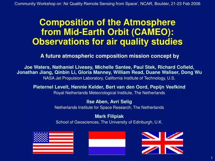
Community Workshop on ‘Air Quality Remote Sensing from Space’, NCAR, Boulder, 21-23 Feb 2006. Composition of the Atmosphere from Mid-Earth Orbit (CAMEO): Observations for air quality studies. A future atmospheric composition mission concept by

E N D
Community Workshop on ‘Air Quality Remote Sensing from Space’, NCAR, Boulder, 21-23 Feb 2006 Composition of the Atmosphere from Mid-Earth Orbit (CAMEO):Observations for air quality studies A future atmospheric composition mission concept by Joe Waters, Nathaniel Livesey, Michelle Santee, Paul Stek, Richard Cofield,Jonathan Jiang, Qinbin Li, Gloria Manney, William Read, Duane Waliser, Dong Wu NASA Jet Propulsion Laboratory, California Institute of Technology, U.S. Pieternel Levelt, Hennie Kelder, Bert van den Oord, Pepijn Veefkind Royal Netherlands Meteorological Institute, The Netherlands Ilse Aben, Avri Selig Netherlands Institute for Space Research, The Netherlands Mark Filipiak School of Geosciences, The University of Edinburgh, U.K.
CLIMATE CHANGE AIR QUALITY Urban and industrial pollution Pollution affecting climate processes in the upper troposphere? NO2 at ~1:30 pm local time small crystal ice large crystal ice CO 25 Aug – 6 Sep 04 Aura MLS upper trop data ACCURACY OF GLOBAL CIRCULATION MODELS OZONE LAYER STABILITY Deficiencies in parameterizing convection, ice formation/dissipation, and gravity waves Stratospheric ozone, chemicals destroying it Aura MLS measured ECMWF analyses ClO ozone Jan 05 monthly-mean cloud ice at 150 hPa 21 Sep 04 Aura OMI and Aura MLS data Mission • CAMEO provides atmospheric data needed to address air quality and - simultaneously - other important regional and global issues 14 Apr 05 Aura OMI data (All measurements shown in this presentation are from CAMEO precursor instruments)
Fast processes • CAMEO gives a needed new capability to observe fast processes, such as urban pollution & convective deposition into the upper troposphere URBAN NO2 POLLUTION CONVECTIVE DEPOSITION to + 2 hour to + 10 hour CAMEO upper tropo-sphere (UT) resolution 1 pm 3 pm 14 12 10 8 6 4 2 Charlotte RaleighDurham Atlanta vertical / km color shows abundance of a boundary layer tracer 2 and 10 hours into a convective simulation [Mullendore et al., JGR 2005] 5 pm 7 pm 80 120 160 480 520 560 horizontal / km EPA CMAQ regional model sampled at CAMEO resolution: 17 Aug 2000 NO2 pollution in south-eastern US. (From Yongtao Hu, Georgia Tech.) Convection, in a few hours, can deposit pollution into the UT, where long-range transport is rapid. Convective deposition also influences UT processes affecting climate; it peaks over land in day, over ocean at night. • CAMEO has the needed temporal and spatial resolution; it produces direct broadcast & NRT data that can be used in air quality forecasts • CAMEO also has the needed vertical resolution to quantify convective depo-sition in the UT, and the global coverage to track long-range transport of pollution
Oct 2004 55 DU Jul 2005 0 DU ratio 2.0 1.0 Upper stratospheric chlorine and bromine from Aura MLS 0.1 pptv 3450 3420 1 % HCl El Niño affecting UT H2O (from UARS MLS) +50 ppmv ‘normal’ year 110 80 ClO 12 10 BrO ‘El Niño’ year -50 ppmv Long-term measurements Tropospheric ozone, OMI-MLS (Ziemke et al., JGR) • CAMEO also continues key measure-ments needed long-term, including: • Tropospheric O3 and other pollutants • Aerosol optical depth and index • UT water vapor, cloud ice, temperature • Chemicals affecting stratospheric O3 • along with O3, tracers of dynamics and temperature • Calibration is traceable to standards, as appropriate for such measurements 1979 to 2000 change in aerosol optical depth in winter over India and China (TOMS data; Massie et al., JGR)
Aura OMI CAMEO TROPI UV/Vismodule SWIRmodule CAMEO SMLS Aura MLS SMLS MLS Points are vertical profile measurement locations for part of an orbit; arc is part of one SMLS azimuth scan Instruments • CAMEO uses advanced versions of instruments proven successful on previous missions • TROPI: TROpospheric PollutionImager for UV/Vis/NIR/SWIR measurements of aerosol and tropospheric pollution • TOMS, SCIAMACHY, and OMI heritage • TROPI uses new 2D imaging detectors and immersed grating technology • New detectors & grating give 10x10 km pixel & broad swath for all wavelengths • SMLS: Scanning Microwave Limb Sounder for upper tropospheric and stratospheric measurements • UARS MLS and Aura MLS heritage • SMLS gives the needed improvement in horizontal resolution; illustrated at right • Improvement made possible by space-qualified cryocoolers that enable satellite use of SIS-type superconductor devices that have been used in ground-based measurements for >20 years • The SMLS scan is programmable in both horizontal and vertical directions; as is its measurement suite
Orbit SMLS swath • CAMEO uses a new, and easily-reached, mid-Earth orbit (MEO) • This orbit and the broad-swath instruments provide an unprec-edented combination of temporal, vertical, and horizontal resolution and global coverage needed to: • Quantify ‘fast processes’ that affect air quality, climate, and the accuracy of global circulation models used for weather and climate forecasts • Continue LEO measurements needed long-term • The combination of resolution and coverage cannot be obtained from a single satellite in other orbits • LEO does not provide the temporal resolution and/or coverage • GEO does not provide the vertical resolution • L1 does not provide the vertical resolution or the diurnal coverage • L2 does not provide the horizontal resolution or the diurnal coverage • Following is animation showing CAMEO coverage for several orbits • The red dot (at Houston, as example) facilitates seeing how measurements at a given location are made on many successive orbits – yielding temporal coverage • For this 16-hour example, measurements over Houston are made 8 times by SMLS and 6 times by TROPI; the measurements are spaced by ~2 hours local time TROPI swath ●
Quantifying coverage • For our ‘baseline’ 1500 km altitude, 52° inclination, 1.9 hr period orbit: • Daily spurt of measurements spaced by ~2 hours local time, followed by a gap • precessing through 24 hours in 90 days • SMLS coverage for a typical day • everywhere within a given color is meas-ured that number of times per 24-hr period • 50x50 km horizontal, and 1-3 km vertical, pixel size for SMLS ‘global’ mode (can be programmed finer for ‘regional’ modes) • 44% of Earth is measured on every orbit • TROPI coverage annual variation • all longitudes within a given color are measured that many times per day • 10x10 km horizontal pixel size (update of 20x20 km in NRC Decadal Survey document) • orbit phase is chosen to favor summer measurements for air quality priorities • SMLS covers >99%, TROPI on average 87%, of globe at least once per 24 hr • Further studies can possibly yield a more optimum orbit • Also, two CAMEOs in formation (e.g., for operational use) can give TROPI mid-latitude data without gaps shown above, and SMLS data every 2 hours over most of the globe
Same field sampled and mapped by Aura MLS CAMEO SMLS sampling of model upper trop CO China SO2 pollution measured by OMI CH4 from SCIAMACHY (Frankenberg et al., Science) Measurements CAMEO suite of measurements dashed lines are goals for SMLS
SMLS TROPI SMLS primary reflector solar array satellite bus CAMEO stowed for launch CAMEO deployed in orbit (SMLS looking into page) Implementation • JPL mission-team study has confirmed CAMEO’s technical feasibility • Can be inserted directly into the desired mid-Earth orbit − by a two-stage Delta-II rocket, for example • 5 year operational lifetime design is straightforward • In addition to TROPI and SMLS, a third instrument could be accommodated
Summary • CAMEO provides atmospheric data needed to address air quality and - simultaneously - other important regional and global issues • Air quality • Climate change • Ozone layer stability • Accuracy of global circulation models • CAMEO uses a new mid-Earth orbit to give a needed and unique combination of temporal, horizontal, and vertical resolution and global coverage • New capability to observe important fast processes • Continues key measurements needed long-term • CAMEO employs advanced versions of UV/Vis/SWIR and microwave instruments proven successful on previous missions • A third instrument could be accommodated