Download
1 / 23
230 likes | 240 Views
2015 Spring Flood Outlook. National Weather Service Valley/Omaha National Weather Service Sioux Falls. Outline. Area of focus is: the Missouri River from Gavins Point to Rulo . Eastern Nebraska and Western Iowa Review of Past Weather Current state of the basin

E N D
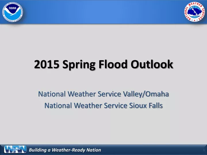
2015 Spring Flood Outlook National Weather Service Valley/Omaha National Weather Service Sioux Falls
Outline • Area of focus is: • the Missouri River from Gavins Point to Rulo. • Eastern Nebraska and Western Iowa • Review of Past Weather • Current state of the basin • Weather forecast for the next four weeks • Spring Flood Outlook
What you need to know • The potential for flooding this Spring can be characterized as near to below normal. • However… • There is a corridor along and south of I-80 (in Iowa and Nebraska) where soil moistures are relatively high. • Persistent rains in this area would lead to flooding much quicker than other areas.
Mountain SnowpackPlatte River Headwaters • By March 1st, around 80% of the mountain snowpack has accumulated.
Latest River Conditions • During the winter months flow values are hard to come by due to ice effects. • Most rivers going into freeze-up were tracking near to above normal. • The Missouri River is above normal due to slightly elevated increases from Gavins Point.
Spring Flood OutlookWhere is there a 90% chance of flooding?
Spring Flood OutlookWhere is there a 50% chance of flooding?
Spring Flood OutlookWhere is there a 25% chance of flooding?
Spring Flood OutlookWhere is there a 10% chance of flooding?
Summary • The overall spring flood threat is near to below normal, however… • Along and south of I-80 is an area to watch due to high soil moistures. • This outlook only covers through June 3rd. • A low Plains snow cover and overall lack of significant late fall/winter precipitation keeps the overall threat low. • Still a lot of time to accumulate mountain snowpack, need to monitor this. I will provide another update, via email, in two weeks.
Questions? • Contact Information • David Pearson • NWS Omaha/Valley • david.pearson@noaa.gov • 402-359-5732 • Michael Gillispie • NWS Sioux Falls • michael.gillispie@noaa.gov • 605-330-4247 x493