Download
1 / 23
230 likes | 324 Views
The Western (English) Channel Observatory as a test bed for improving ecosystem forecasts.

E N D
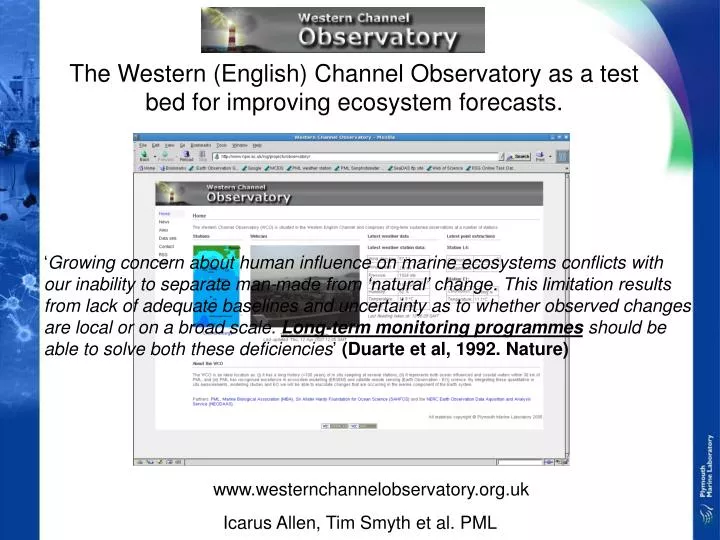
The Western (English) Channel Observatory as a test bed for improving ecosystem forecasts. ‘Growing concern about human influence on marine ecosystems conflicts with our inability to separate man-made from ‘natural’ change. This limitation results from lack of adequate baselines and uncertainty as to whether observed changes are local or on a broad scale. Long-term monitoring programmes should be able to solve both these deficiencies’ (Duarte et al, 1992. Nature) www.westernchannelobservatory.org.uk Icarus Allen, Tim Smyth et al. PML
Sustained Observations in the Western English Channel: past, present and future. Plymouth time series since 1900
Geographical Region • Overall aims and purpose • Our purpose is to integrate in situ measurements made at stations L4, L5, E1 and adjacent coasts in the western English Channel (see Fig 3) with ecosystem modelling studies and Earth observation; this will be facilitated by web-based GIS technology. which allows the following science questions to be addressed at a range of temporal and spatial scales: • What is the current state of the ecosystem? • How has the ecosystem changed? • Improve short term forecasts of the state of the ecosystem. • A national facility for EO algorithm development, calibration and validation. • Western English Channel: • boundary region between oceanic and neritic waters; • straddles biogeographical provinces; • both boreal / cold temperate & • warm temperate organisms • considerable fluctuation of flora and fauna since records began. • Southward et al. (2005) Adv. Mar. Biol., 47
Web (Webmap server) • each element has strengths and weaknesses – synergy. Database (SQL) Virtual Observatory MECN: Knowledge Transfer / policy advice Modelling ERSEM Met Office (NCOF) Data Remote Observatory Remote Sensing SST, Ocean Colour Other sensors In-situ sampling (L4, E1, L5, buoy, etc.) long-term time-series (linked to non WCO series via MECN) scientific investigation
In situ sampling • i) Marine measurements: • OPERATIONS: weekly sampling @ L4; fortnightly @ E1 • The Observatory consists of the core measurements: • Hydrography (CTDf); • Nutrients; • Optics; • Pigments; • Zooplankton and phytoplankton • ii) Atmospheric measurements: • meteorological stations (PML, Rame Head) • sun photometric aerosol retrievals (PML)
Latest Hydrography The year so far (L4) …
L4 L4 - Zooplankton time-series vertical net hauls: from the sea floor (~55m) to the surface WP2 net: mesh 200µm (UNESCO 1968) samples are stored in 5% formalin taxonomic identification zooplankton database latitude: 50.67°N longitude: 4.58°W start: 1988 sample frequency: weekly abundance: 1988- on going biomass: 1993-1998 copepods eggs production: 1992-2005 data analysis
Composition of the “Top20” dominant species at L4 (Plymouth) 1988-2006 Sagitta sp. 90%
PML:(base node) Met. Station; Aerosols; Rame Head:(shore node) Met. Station; Aerosols; L4:Moored profiling buoy CTDf, Optics, Nutrients … expandable for visitors? E1:Moored (profiling?) buoy CTDf, Optics, Nutrients … Array of autonomous moorings • An observatory needs to directly observe something; • Need real-time data (rather than just RS / modelling); • Capital bid successful: currently specifications out to tender … • Have permissions for moorings at L4 and E1.
Remote Sensing frontal region frontal region Autumn bloom case II Tidal mixing case I stratified • SST (1981 - ) and ocean colour (1997 - ) to provide synoptic overview of WCO domain. • Delivered via web and Web Map Server technology.
AVHRR SST 26 Aug - 01 Sep 9-15 Sep 02-08 Sep 16-22 Sep 23-29 Sep NRT data provided in partnership with NEODAAS PML.
MODIS chlorophyll-a 26 Aug - 01 Sep 9-15 Sep 02-08 Sep 16-22 Sep 23-29 Sep NRT data provided in partnership with NEODAAS PML.
Western English Channel Model 7km Western Channel POLCOMS-ERSEM PML-delayed 7 day Hindcast 2002-pres 2km under-development, 500m regional sub-model in vicinity of L4/E1 proposed
Development of Model Metrics Dsicrimination Analysis Taylor Diagram
Multivariate Validation: Comparison of PC1 for modelled and observed phytoplankton How well does ERSEM capture the seasonal succession at L4? Assessing short term forecast skill Like with Like comparison Log Chlorophyll Monthly Mean Chlorophyll
If the model predicts a bloom what’s the probability it is correct? Positive Predictive Value A. PPV for threshold > mean chlorophyll, B. PPV for threshold > 1.5 mean chlorophyll for that pixel,Allen et al Harmful Algae (in press)