Download
1 / 26
260 likes | 331 Views
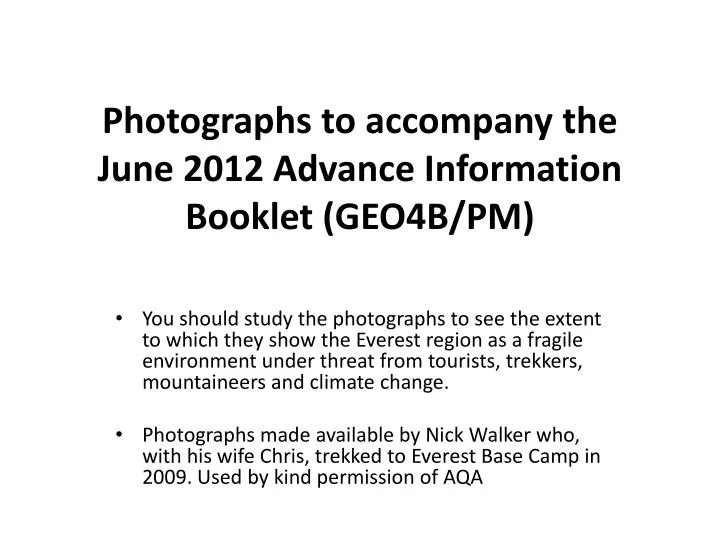
Photographs to accompany the June 2012 Advance Information Booklet (GEO4B/PM). You should study the photographs to see the extent to which they show the Everest region as a fragile environment under threat from tourists, trekkers, mountaineers and climate change.

E N D
Photographs to accompany the June 2012 Advance Information Booklet (GEO4B/PM) You should study the photographs to see the extent to which they show the Everest region as a fragile environment under threat from tourists, trekkers, mountaineers and climate change. Photographs made available by Nick Walker who, with his wife Chris, trekked to Everest Base Camp in 2009. Used by kind permission of AQA
The flight took us through narrow passes over isolated farming communities with terraces on the top of ridges. We eventually reached the airport in Lukla built on the side of the valley with a short sloping runway and a small apron where planes queue on arrival and before take-off. There can be as many as 60 arrivals in one day, servicing the Everest Base Camp Trail. The alternative is a seven-day walk-in over the foothills. There is no road to Lukla.
After our arrival in Lukla we soon started our trek and were immediately immersed in the deep valley with its simple villages. Chris with Phurtemba Sherpa (who accompanied us for much of our trip) on one of the many rope bridges.
KusumKanguru – one of the first major peaks that we saw on the trek. The snow is blown against the steep mountain sides where it freezes. It is eroded by the action of wind and sun. Note that we are close to the tree line here.
There was a slight descent to Monjo village, dominated by the Holy Mountain, KhumbiYulLha. Many of the people of the village make an important part of their living from trekkers. Some act as guides and porters but many others provide food and accommodation.
A roof in the village doubles as a chimney. The health hazards are obvious!
Namche Bazaar, 3450 metres above sea level. It is the market, service and administrative centre for the region.
The next day we were high enough for yak to carry our baggage. They cannot operate below an altitude of 2500 metres.
Our first view of Mount Everest. Lhotse is the peak on the right and Everest is the peak with the cloud plume. It lies beyond the Lhotse ridge.
Below us we could still see woodland with the autumn colours developing. Although some parts of Nepal have suffered severe deforestation there are very strict rules controlling the use of wood in this area. Trekkers are forbidden even from touching the trees in many areas.
Our next stop was in Dingboche. Here many of the villagers use solar heaters for cooking and heating water
The terraced fields are used for crops of rice and wheat, although it had all been harvested when we visited. The terrace walls are made of stones, gathered from the fields over many years of cultivation
The steeper slopes are very unstable as a result of the sparse vegetation cover and the regular freeze/thaw action in autumn/spring. The building with the red and yellow roof in the centre foreground is a Buddhist monastery.
Yak dung is also used as a fuel, although it is being replaced by solar power whenever possible. The dung is dried and stored and now used mainly for heating homes at night and in winter
This improvised shower, for trekkers rather than for local people, uses solar heated water lifted up to the container on the roof.
Down in the valley are more terraced fields and a small settlement. The stream on the valley floor flows from a melting glacier. It has produced a braided channel as it sorts and redeposits the fluvio-glacial deposits on the river bed.
In the distance you can just see the summit of Lobuche. Then there is a wall of moraine material, unsorted, from the melting Khumbu glacier. In the foreground, a meltwater stream is sorting and eroding the fluvio-glacial material. In the centre of the photo is a bridge, put in place to allow trekkers to cross the stream safely.
The Khumbu glacier is one of the biggest in the area. An area of ice accumulation is shown here. Ice can be seen frozen to the face of Lengtren. The cracks at the foot of the slope show where ice in the corrie is moving forwards under pressure of accumulated ice and the force of gravity pulling it downhill.
Here the surface of the glacier is covered with moraine that has fallen from the valley sides, weathered by freeze/thaw action. On the left is part of a glacial lake, formed where the glacier blocks a meltwater stream flowing from a side valley
Snow cocks seen on the tundra-like vegetation around the edges of the glacier.
The remains of an avalanche on the side of Nuptse. The avalanche was formed of snow, ice and rock that became detached from the steep side of the valley above the main glacier and plunged downhill. The main glacier, covered in moraine, can be seen flowing from right to left across the foreground of the picture.
A view of the Everest icefall. The icefall is the deeply crevassed glacier that flows from right to left across the centre of the picture. The west ridge of Everest can just be seen on the top right of the picture. Changtse is the pyramid peak in the centre of the picture and Khumbutse is the mountain on the left with the steep ridges (aretes) leading up to its peak.
Everest Base Camp on a slightly smoother part of the moraine at the foot of the icefall. In the summer climbing season there would be many more tents here but, whilst the autumn season is good for trekking, the weather is too cold and unreliable for safe climbing at the higher altitudes.
It is still not too cold for the pica, small rodents that are common even at this height, surviving on the sparse mountain vegetation and then hibernating during winter
Our final, closest view of Everest, before the trek back down
Images from: http://web.aqa.org.uk/over/geo4b.php More of Nick Walker’s images of the Himalayas at: http://www.flickr.com/photos/nickwalker/sets/72157623586094841/