Download
1 / 32
320 likes | 466 Views
DTM by M. Varshosaz. An introduction to DTM. Overview of your syllabus Definition Applications Overview of DTM tasks Generation Manipulation Interpretation Visualizations. Definition:.

E N D
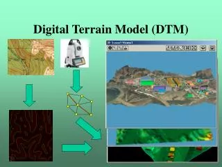
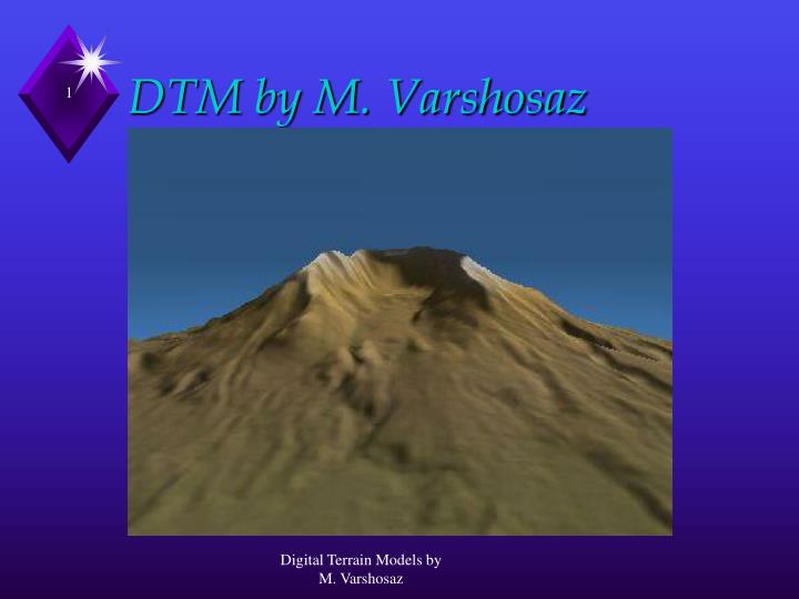
DTM by M. Varshosaz Digital Terrain Models by M. Varshosaz
An introduction to DTM • Overview of your syllabus • Definition • Applications • Overview of DTM tasks • Generation • Manipulation • Interpretation • Visualizations Digital Terrain Models by M. Varshosaz
Definition: • A statistical representation of the continuous surface of the ground by a large number of selected points with known X, Y, and Z coordinates in an arbitrary co-ordinate field. • Provide the means for representing the continuous surface in a digital form using a finiteamount of storage. • Provide the means for representing the earth’s surface in the computer. Digital Terrain Models by M. Varshosaz
Terminology • Digital Terrain Model (DTM). • Digital Elevation Model (DEM). • Digital Height Model (DHM). • Digital Ground Model (DGM). • Digital Terrain Elevation Data (DTED). • Digital Surface Model (DSM). Digital Terrain Models by M. Varshosaz
Terminology • DEM (Digital Elevation Model): • Generally refers to a regular array of elevations (squares or hexagon). • The term is in widespread use in the USA. • DHM (Digital Height Model): • Similar as DEM but less commonly used. • The term originated in Germany. • DGM (Digital Ground Model): • More emphasis on the digital model of the solid/continuous surface of the earth. • The term in is general use in the UK. Digital Terrain Models by M. Varshosaz
Terminology (cont.) • DTM (Digital Terrain Model): • More complex concept involving elevations and other GIS features (e.g., rivers, ridges, break lines, etc.). • It encompasses terrain relief, planimetric, and derived data (slope, aspect, visibility, etc.). • DTED (Digital Terrain Elevation Data): • Term used by the US National Imaging and Mapping Agency (NIMA) formerly known as the Defense Mapping Agency (DMA). • Usually refers to girded/regular arrays. Digital Terrain Models by M. Varshosaz
Terminology (cont.) • DSM (Digital Surface Model): • The previous terms usually refer to bare terrain models. • DSM refers to digital models including features above the surface of the earth (e.g., buildings). • Very important for ortho-photo generation. Digital Terrain Models by M. Varshosaz
DTM synonyms: conclusion • Most widely used are DTM and DEM • To define a DTM need: • A number of sample points which can define earth with a given degree of accuracy(DATA) • A mathematical model filling the gaps between the sample points • Data and model (MODEL) • Data and model stored and worked in digital Digital Terrain Models by M. Varshosaz
DEM products • Slope angle • Slope aspect • Slope convexity • Slope length • Hillshading • 3D display Digital Terrain Models by M. Varshosaz
DTM Application Domains • Civil Engineering: • Cut-and-fill problems involved with road design. • Site planning. • Volumetric calculations in building dams and reservoirs. Digital Terrain Models by M. Varshosaz
(Rail) Road design Horizontal alignment Digital Terrain Models by M. Varshosaz
Conventional (rail)road design Longitudinal Profile (vertical alignment) Digital Terrain Models by M. Varshosaz
Conventional (rail)road design Cross Sections cut & fill volumes Digital Terrain Models by M. Varshosaz Concept of
(Rail)road design with DTM SCOP Digital Terrain Models by M. Varshosaz
DTM Application domains (cont.) • Earth Sciences: • Drainage basin network development and delineation. • Hydrological run-off modeling. • Geo-morphological simulation and classification. • Geological mapping. • Generating slope and aspect maps. Digital Terrain Models by M. Varshosaz
Applications of DTM (cont.) • Analysis and interpretation of terrain morphology A vertical view of a computed drainage system Digital Terrain Models by M. Varshosaz
DTM Application Domains • Planning and Resource Management: • The management of natural resources. • Site location. • Support of image classification in remote sensing by DTM derivatives. • Geometric and radiometric correction of remote sensing images • Wind flow and pollution dispersion models. Digital Terrain Models by M. Varshosaz
100 m Monitoring waste deposits comparing volumes under DTM in different times Digital Terrain Models by M. Varshosaz
DTM Application Domains • Military Applications: • Consumers and producers (e.g., NIMA). • End objectives are very specialised and demanding. • Inter-visibility analysis for battlefield management. • 3-dimensional display for weapons guidance systems and flight simulation. • Radar line-of-sight analyses. • Topographic mapping. • Surveying and Photogrammetry: • They are important sources for DTM generation. • DTMs are useful for various surveying and photogrammetric activities: • Ortho-photo production, • Data quality assessment, and Digital Terrain Models by M. Varshosaz
Applications of DTM (cont.) • Military service • 3D visualization and Flight simulation • Intervisibility analysis • Weapon guidance • etc Digital Terrain Models by M. Varshosaz
DTM application areas (cont.) • Surveying and photogrammetry • Orthophoto production • Topographic mapping Digital Terrain Models by M. Varshosaz
What about GIS? • DTM used as base map similar to 2D • DTM is 2.5D since includes third dimension (Z) depending on (X,Y) • H stored as an attribute • H stored s a function of (X,Y) Digital Terrain Models by M. Varshosaz
Elements of Digital Terrain Modeling • Tasks involved in DTM production and use. Digital Terrain Models by M. Varshosaz
DTM tasks: generation • Buy global or national data set • Collect data Digital Terrain Models by M. Varshosaz
Buy global or national data set Digital Terrain Models by M. Varshosaz
Examples Topographic Data [Eidenbenz et al, 1997] (*) completed Digital Terrain Models by M. Varshosaz
Data capture • Data acquisition techniques • Surveying • Photogrammetry and Remote Sensing • Laser ranging • Using current topographic maps • Model construction • Interpolation techniques Digital Terrain Models by M. Varshosaz
DTM tasks: manipulation • Modification and refinement of DTMs, and derivation of intermediate models. This might include: • Editing: correcting errors and updating DTMs. • Filtering: smoothing, enhancing, compression and Resampling. • Merging and Joining DTMs: combining DTMs from several sources (possibly at different epochs). • Converting DTM from one data structure to another: for example: TIN to grid conversion. Digital Terrain Models by M. Varshosaz
DTM tasks: interpretation • Extraction of terrain related attributes and features through quantitative analysis • Geomorphometric analysis • DTM quality assessment • Error detection • Quality control • Planning and engineering applications • Visibility analysis Digital Terrain Models by M. Varshosaz
DTM tasks: visualization • Orthographic techniques • Contours • Hill shading • Combination with 2D data • Perspective techniques • Block diagrams • 3D perspective • Virtual Fly Digital Terrain Models by M. Varshosaz
Your feedback • Through your reports, term papers, critics Digital Terrain Models by M. Varshosaz